
El Centro in Imperial County, California — The American West (Pacific Coastal)
Mormon Battalion
Photographed by Adam Margolis, February 6, 2022
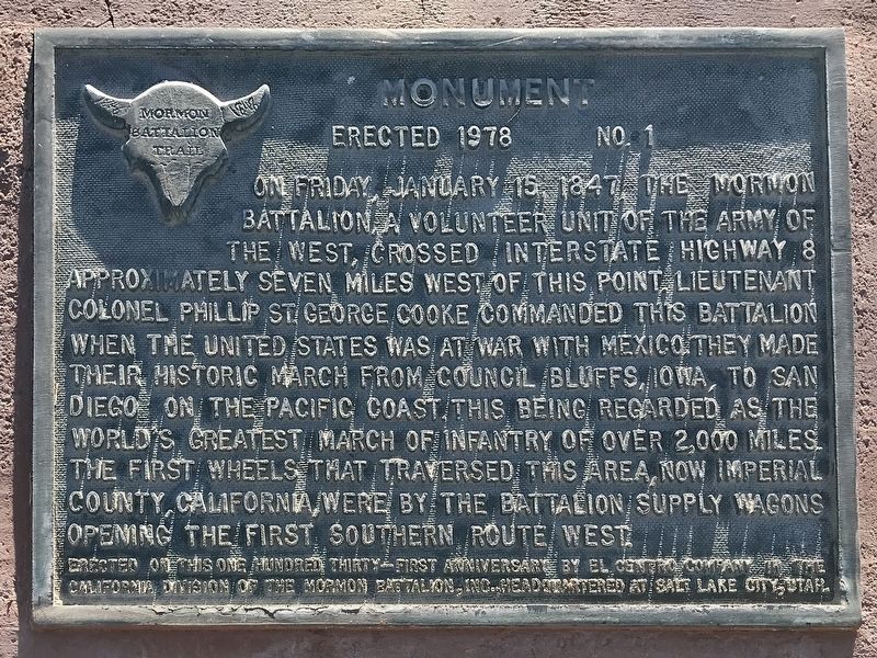
1. Mormon Battalion Marker
On Friday January 15, 1847 the Mormon Battalion, a volunteer unit of the Army of the West, crossed Interstate Highway 8 approximately seven miles west of this point. Lieutenant Colonel Philip St. George Cooke commanded this battalion when the United States was at war with Mexico. They made their historic march from Council Bluffs, Iowa, to San Diego on the Pacific Coast, this being regarded as the world's greatest march of infantry of over 2,000 miles. The first wheels that traversed this area, now Imperial County, California, were by the battalion supply wagons opening the first southern route/west.
Erected on this one hundred and thirty-first anniversary
Erected 1978 by El Centro Company of the California Division of the Mormon Battalion, Inc. (Marker Number 1.)
Topics. This memorial is listed in these topic lists: Exploration • Religion & Religious Structures • Settlements & Settlers • War, Mexican-American. A significant historical date for this entry is January 15, 1847.
Location. 32° 46.466′ N, 115° 40.145′ W. Memorial is in El Centro, California, in Imperial County. It is on Kumeyaay Highway (Interstate 8) west
this page online

Regionally, this memorial is in California’s Imperial Valley. It is also in the American Southwest. Globally, it is in North America, on the Ring of Fire, in the Pacific Rim, in the Western Hemisphere, in the Western World, and in the Anglosphere. Historically, it finds itself in what was once New Spain and also Mexico’s Alta California.
Other nearby markers. At least 8 other markers are within 11 miles of this marker, measured as the crow flies: Yuha Well (about 500 feet away, measured in a direct line); Rock Art (about 500 feet away); Camacho's Place and Café (approx. 5.2 miles away); Imperial Valley Press (approx. 6.4 miles away); Women's 10,000 Club (approx. 6½ miles away); Imperial Irrigation District (approx. 7.8 miles away); Mobley Meadows (approx. 10.3 miles away); Imperial Valley Veterans' Memorial (approx. 10.3 miles away). Touch for a list and map of all markers in El Centro.
Another
Photographed by Adam Margolis, February 6, 2022
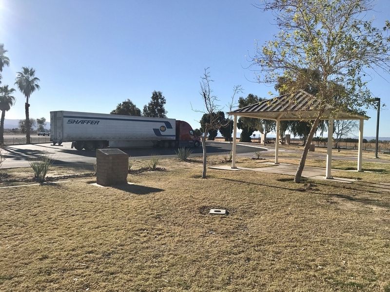
2. Mormon Battalion Marker
Credits. This page was last revised on December 18, 2023. It was originally submitted on February 7, 2022, by Adam Margolis of Mission Viejo, California. This page has been viewed 665 times since then and 37 times this year. Photos: 1, 2. submitted on February 7, 2022, by Adam Margolis of Mission Viejo, California. • J. Makali Bruton was the editor who published this page.
