Webster Groves in St. Louis County, Missouri — The American Midwest (Upper Plains)
Christopher & Mary Ann Hawken House
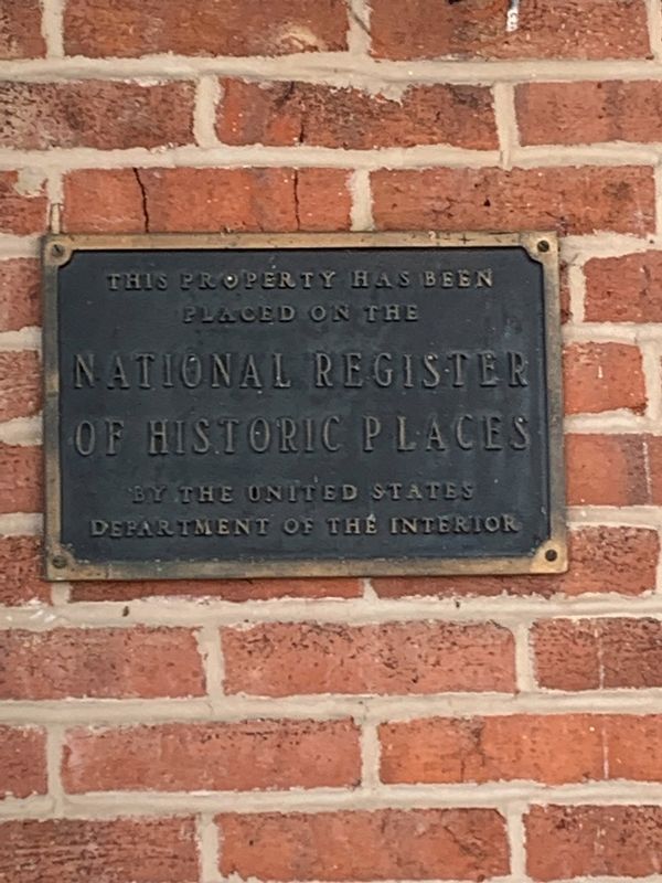
Photographed by Thomas Smith, February 5, 2022
1. Christopher & Mary Ann Hawken 1857 Marker
placed on the
National Register
of Historic Places
by the United States
Department of the Interior
Topics. This historical marker is listed in this topic list: Notable Buildings. A significant historical year for this entry is 1857.
Location. 38° 34.404′ N, 90° 21.99′ W. Marker is in Webster Groves, Missouri, in St. Louis County. It is at the intersection of South Rock Hill Road and Central Avenue, on the right when traveling south on South Rock Hill Road. Touch for map. Marker is at or near this postal address: 1155 S Rock Hill Rd, Saint Louis MO 63119, United States of America. Touch for directions.

Regionally, this marker is in Greater St. Louis. It is also in the American Midwest, in the Lewis & Clark Corridor, in the Corn Belt, and in the Great River Road Region. Globally, it is in North America, the Western Hemisphere, the Western World, and the Anglosphere. Historically, it finds itself in what was once the Viceroyalty of New France, the territory of the Mississippian Culture, the Louisiana Purchase, and the Antebellum South.
Other nearby markers. At least 8 other markers
this page online
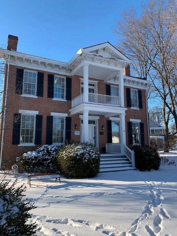
Photographed by Thomas Smith, February 5, 2022
2. Christopher & Mary Ann Hawken House
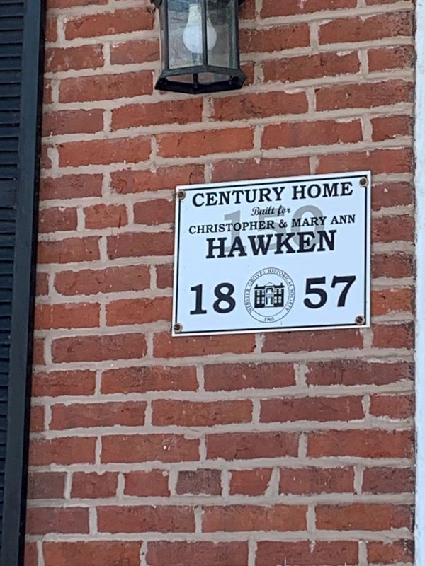
Photographed by Thomas Smith, February 5, 2022
3. Additional plaque on the house
Credits. This page was last revised on June 27, 2025. It was originally submitted on February 7, 2022, by Thomas Smith of Waterloo, Ill. This page has been viewed 333 times since then and 22 times this year. Photos: 1, 2, 3. submitted on February 7, 2022, by Thomas Smith of Waterloo, Ill. • Devry Becker Jones was the editor who published this page.
