Livingston in Park County, Montana — The American West (Mountains)
Livingston Eastside Residential Historic District
Photographed by Barry Swackhamer, July 24, 2021
1. Livingston Eastside Residential Historic District Marker
Inscription.
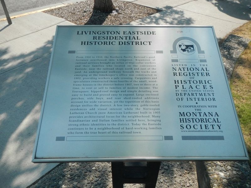
Livingston Eastside Residential Historic District. . From 1900 to 1910, the Northern Pacific Railroad’s good fortunes overflowed into Livingston. Expansion of railroad services brought an influx of blue-collar workers and their families who located on the convenient Eastside, near the railroad shops north and east of the yard. An underground walkway beneath the tracks and emerging at the timekeeper’s office was constructed in 1902, providing workers a safe crossing. Carpenters and speculators constructed three-fourths of the small, wood-frame houses in the district before 1907, two or three at a time, to rent or sell to families of modest income. The foursquare, hipped-roof design and simple detailing was easy to build and proved easy to expand. Large enclosed porches, side bays and rear shed-roofed additions account for wide variation, yet the repetition of this basic design unifies the district. A few two-story, gable-roofed residences add visual interest while the Norwegian Lutheran Church (now American Lutheran) built in 1905 provides architectural focus for the neighborhood. Many Scandinavian and Italian families settled here, bringing strong ethnic identities to the district. Today the Eastside continues to be a neighborhood of hard-working families who form the true heart of this railroad town.
From 1900 to 1910, the Northern Pacific Railroad’s good fortunes overflowed into Livingston. Expansion of railroad services brought an influx of blue-collar workers and their families who located on the convenient Eastside, near the railroad shops north and east of the yard. An underground walkway beneath the tracks and emerging at the timekeeper’s office was constructed in 1902, providing workers a safe crossing. Carpenters and speculators constructed three-fourths of the small, wood-frame houses in the district before 1907, two or three at a time, to rent or sell to families of modest income. The foursquare, hipped-roof design and simple detailing was easy to build and proved easy to expand. Large enclosed porches, side bays and rear shed-roofed additions account for wide variation, yet the repetition of this basic design unifies the district. A few two-story, gable-roofed residences add visual interest while the Norwegian Lutheran Church (now American Lutheran) built in 1905 provides architectural focus for the neighborhood. Many Scandinavian and Italian families settled here, bringing strong ethnic identities to the
Click or scan to see this page online
district. Today the Eastside continues to be a neighborhood of hard-working families who form the true heart of this railroad town.
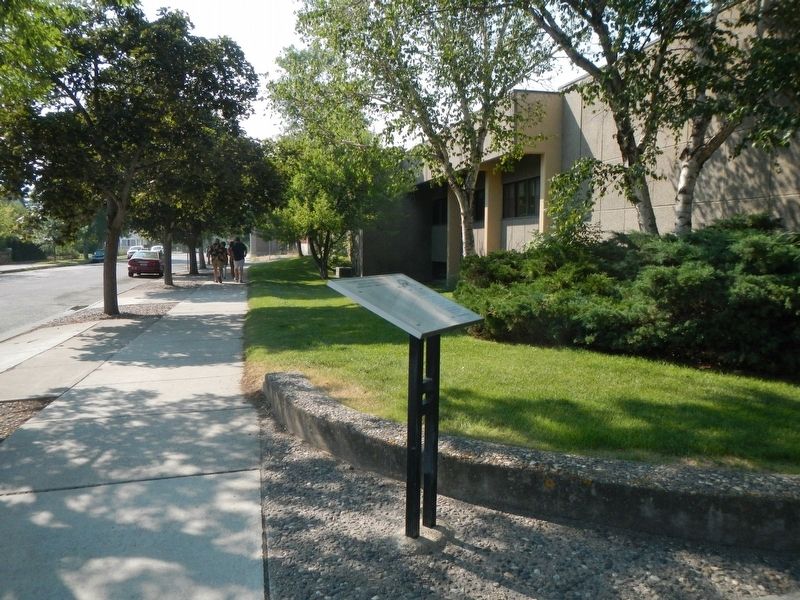
Location. 45° 39.83′ N, 110° 33.326′ W. Marker is in Livingston, Montana, in Park County. It is at the intersection of South E Street and East Callender Street, on the left when traveling north on South E Street. Touch for map. Marker is in this post office area: Livingston MT 59047, United States of America. Touch for directions.
Regionally, this marker is in Yellowstone Country and in Greater Bozeman. It is also in the American Mountain West and in the Lewis & Clark Corridor. Globally, it is in North America, the Rocky Mountains, the Western Hemisphere, the Western World, and the Anglosphere. Historically, it finds itself in what was once
Photographed by Barry Swackhamer, July 24, 2021
2. Livingston Eastside Residential Historic District Marker
Credits. This page was last revised on February 8, 2022. It was originally submitted on February 8, 2022, by Barry Swackhamer of Brentwood, California. This page has been viewed 226 times since then and 15 times this year. Photos:1, 2. submitted on February 8, 2022, by Barry Swackhamer of Brentwood, California.