Fairmount Park in Philadelphia in Philadelphia County, Pennsylvania — The American Northeast (Mid-Atlantic)
The Forebay
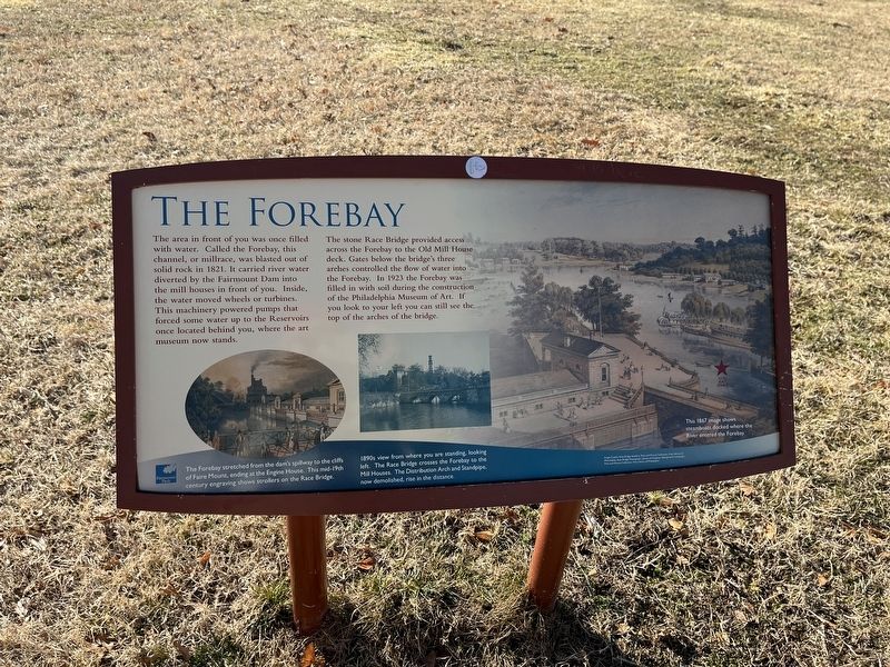
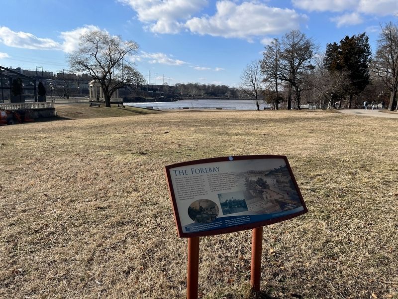
The area in front of you was once filled with water. Called the Forebay, this channel, or millrace, was blasted out of solid rock in 1821. It carried river water diverted by the Fairmount Dam into the mill houses in front of you. Inside, the water moved wheels or turbines. This machinery powered pumps that forced some water up to the Reservoirs once located behind you, where the art museum now stands.
The stone Race Bridge provided access across the Forebay to the Old Mill House deck. Gates below the bridge's three arches controlled the flow of water into the Forebay. In 1923 the Forebay was filled with soil during the construction of the Philadelphia Museum of Art. If you look to your left you can still see the top of the arches of the bridge.
Erected by Fairmount Park Conservancy.
Topics. This historical marker is listed in these topic lists: Bridges & Viaducts • Charity & Public Work • Waterways & Vessels. A significant historical year for this entry is 1821.
Location. 39° 58.024′ N, 75° 11.011′ W. Marker is in Philadelphia, Pennsylvania, in Philadelphia County. It is in Fairmount Park. It can be reached
this page online

Regionally, this marker is in Southeast Pennsylvania. It is also in the American Northeast and in the Mid-Atlantic. Globally, it is in North America, the Western Hemisphere, the Western World, and the Anglosphere. Historically, it finds itself in what was once the Haudenosaunee (Iroquois) Confederacy, New Netherland, and one of the original Thirteen Colonies.
Other nearby markers. At least 8 other markers are within walking distance of this marker: How the Water Works Worked / Useful & Beautiful (a few steps from this marker); Lafayette (within shouting distance of this marker); Engine & Mill Houses (within shouting distance of this marker); William Rush (within shouting distance of this marker); Arch & Standpipe (within shouting distance of this marker); Revolutionary War Heroes (within shouting distance of this marker); Friedrich von Steuben (within shouting distance of this
Credits. This page was last revised on February 2, 2023. It was originally submitted on February 9, 2022, by Devry Becker Jones of Washington, District of Columbia. This page has been viewed 553 times since then and 65 times this year. Photos: 1, 2. submitted on February 9, 2022, by Devry Becker Jones of Washington, District of Columbia.
