North Platte in Lincoln County, Nebraska — The American Midwest (Upper Plains)
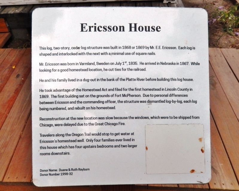
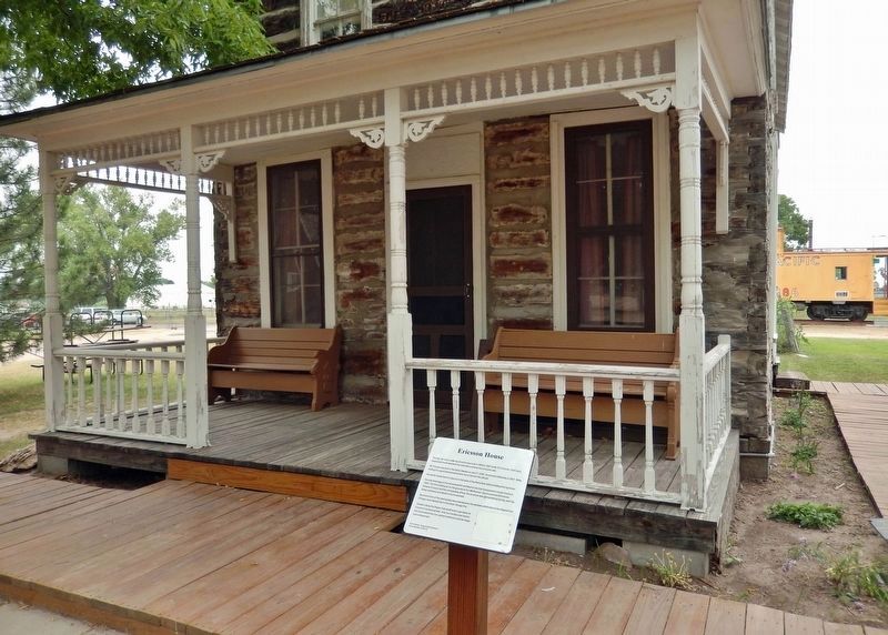
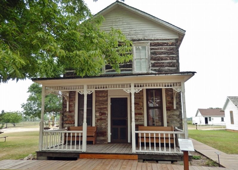
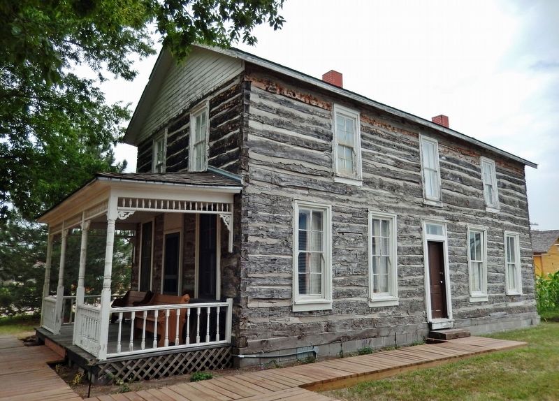
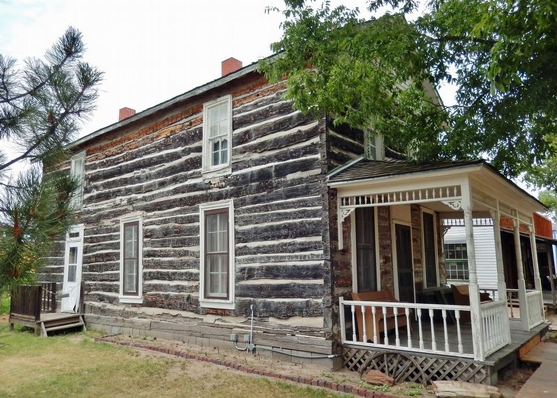
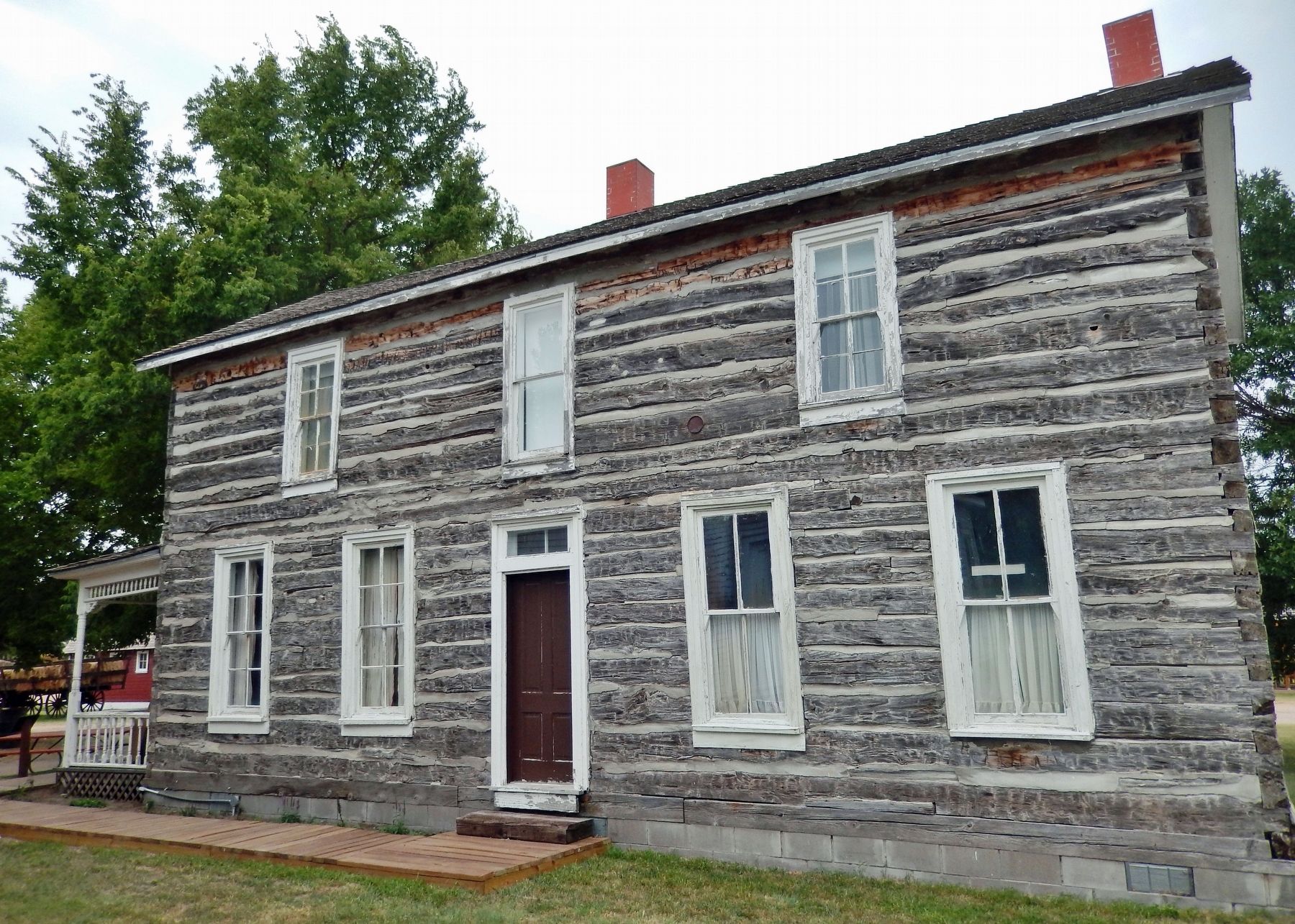
Ericsson House
Mr. Ericsson was born in Varmland, Sweden on July 1st, 1835. He arrived in Nebraska in 1867. While looking for a good homestead location, he cut ties for the railroad.
He and his family lived in a dug-out in the bank of the Platte River before building this log house.
He took advantage of the Homestead Act and filed for the first homestead in Lincoln County in 1869. The first building sat on the grounds of Fort McPherson. Due to personal differences between Ericsson and the commanding officer, the structure was dismantled log-by-log, each log being numbered, and rebuilt on his homestead.
Reconstruction at the new location was slow because the windows, which were to be shipped from Chicago, were delayed due to the Great Chicago Fire.
Travelers along the Oregon Trail would stop to get water at Ericsson's homestead well. Only four families ever lived in this house which has four upstairs bedrooms and two larger rooms downstairs.
Donor Name: Duane & Ruth Rayburn
Donor Number 1998-32
Topics and series. This historical marker is listed in these topic lists: Architecture • Forts and Castles • Railroads & Streetcars • Settlements & Settlers. In addition, it is included in the Oregon Trail series list. A significant historical year for this entry is 1869.
Location. 41° 9.622′ N, 100° 47.4′ W. Marker is in North Platte, Nebraska, in Lincoln County. Marker can be reached from North Buffalo Bill Avenue, 0.8 miles north of Lincoln Highway (U.S. 30), on the right when traveling north. Marker and Ericsson house are located on the Lincoln County Historical Museum grounds. Touch for map. Marker is at or near this postal address: 2403 North Buffalo Bill Avenue, North Platte NE 69101, United States of America. Touch for directions.
Other nearby markers. At least 8 other markers are within walking distance of this marker. General Store (a few steps from this marker); Windmill & Cistern (a few steps from this marker); Fort McPherson (a few steps from this marker); Fort McPherson Cabin (a few steps from this marker); Fort McPherson Flagpole (a few steps from this marker); Pawnee Indian Garden (a few steps from this marker); Jeffers Family Home (within shouting distance of this marker); Dick Neve Barber Shop (within shouting distance of this marker). Touch for a list and map of all markers in North Platte.
Related markers.
Click here for a list of markers that are related to this marker. Lincoln County Historical Museum
Also see . . . Eagle Scout’s Museum Project Complete.
(The North Platte Telegraph, July 19, 2020) The Ericsson House is the first house on the block as one enters the museum. The house was built in 1868 or 1869 with railroad ties at Fort McPherson before being moved to a homestead near Maxwell. Jacob Godfrey of North Platte recently completed his Eagle Scout project, removing and rebuilding the boardwalk.(Submitted on February 9, 2022, by Cosmos Mariner of Cape Canaveral, Florida.)
Credits. This page was last revised on March 3, 2024. It was originally submitted on February 9, 2022, by Cosmos Mariner of Cape Canaveral, Florida. This page has been viewed 160 times since then and 22 times this year. Photos: 1, 2, 3, 4, 5, 6. submitted on February 9, 2022, by Cosmos Mariner of Cape Canaveral, Florida.
