William Penn Annex West in Philadelphia in Philadelphia County, Pennsylvania — The American Northeast (Mid-Atlantic)
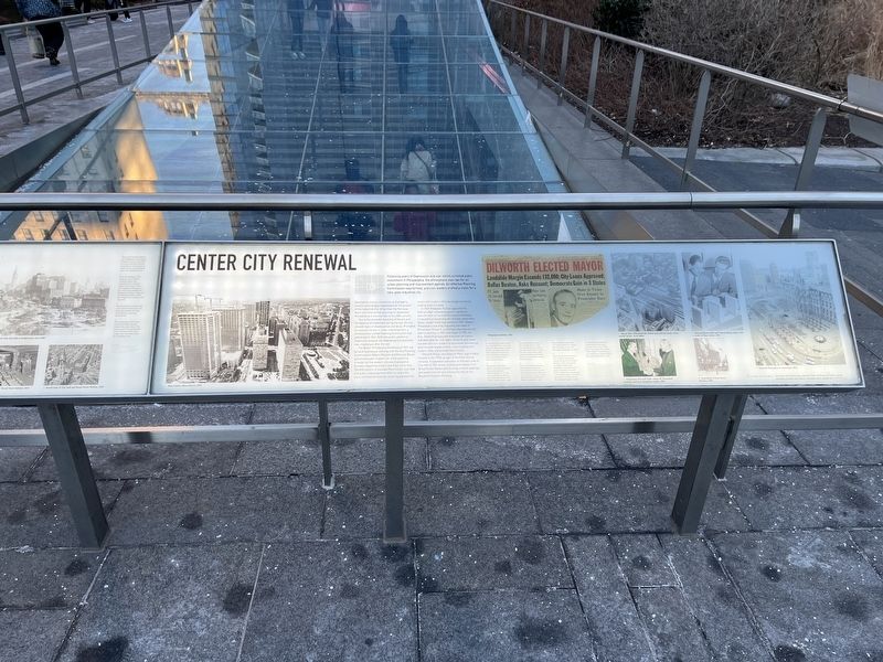
Center City Renewal
Following years of Depression and war, which curtailed public investment in Philadelphia, the atmosphere was ripe for an urban planning and improvement agenda. An effective Planning Commission was formed, and civic leaders crafted a vision for a new, post-industrial city.
Developers, transit companies, and property owners were largely responsible for the growth of the industrial city. Other than the Parkway, there was little formal planning for downtown Philadelphia in the first half of the 20th century.
Due to the economic hardship of the era and the absence of investment during the war, the city showed signs of obsolescence and decay. Prompted by national interest in urban redevelopment, a professionally staffed Planning Commission was authorized in 1942. With new public powers to implement renewal, the Redevelopment Authority was created just after the war.
The Better Philadelphia Exhibition of 1947, led by local businesses working with the City Planning Commission's Robert Mitchell and Edmund Bacon, galvanized public support for urban planning. A model for the modern city was displayed at Gimbels Department Store and drew more than 350,000 visitors. It included Penn Center, a private and public redevelopment effort to revive the city's commercial heart by replacing elevated rail tracks with modern office buildings connected underground to transit.
In 1949, President Truman approved the federal urban renewal program, and Bacon took the helm of the City Planning Commission. Local political leadership for renewal came when Mayor Joseph Clark was elected in 1951. Modern Philadelphia was also shaped by the vision of Richardson Dilworth, a reformer who was elected district attorney in 1951 and mayor in 1955. As D.A., Dilworth prosecuted municipal corruption and advocated for civil rights. Dilworth and Clark worked with civic leaders to rejuvenate commercial districts and neighborhoods, restore parks and historic sites, and provide new schools.
Dilworth Plaza, now Dilworth Park, was initially created in the 1970s as part of the Penn Center renewal. It expanded walkways on the west side of City Hall to 15th Street, annexing the footprint of Broad Street Station and forming a transit gateway and pedestrian terrace linking City Hall to the Benjamin Franklin Parkway.
[Captions:]
1. A view from City Hall toward the Schuylkill River shows the high-rise office towers of Penn Center marching westward. They replaced the tracks of the Pennsylvania Railroad that once extended from Broad Street Station.
2. Richardson Dilworth's election as mayor bolstered urban planning and redevelopment in the city and continued the
3. The elevated train tracks of the Broad Street Station were demolished during renewal to make way for Penn Center. The site of the station itself and the parcels immediately south were annexed to create Dilworth Plaza.
4. During the 1950s and 60s, Philadelphia's Planning Commission became one of the most active and effective in the country. Vincent Kling designed the first Dilworth Plaza, completed in 1977.
5. Mayor Dilworth appointed civic leader Albert M. Greenfield Chairman of the City Planning Commission in 1956.
6. Much of the modern Center City of today was shaped during the era of Richardson Dilworth. This photograph of Dilworth observing demolition was taken at the start of renewal in Society Hill. To show his commitment to downtown living, he moved his family to a home facing Washington Square in 1957.
7. Vincent Kling designed the original plaza and transit gateway to the west of City Hall in the 1970s. First called "West Plaza," it was dedicated as a memorial to former Mayor Richardson Dilworth in 1977.
Topics and series. This historical marker is listed in these topic lists: Government & Politics • Industry & Commerce • Notable Places • Parks & Recreational Areas • Railroads & Streetcars. In addition, it is included in the Pennsylvania Railroad (PRR) series list. A significant historical year for this entry is 1942.
Location. 39° 57.151′ N, 75° 9.886′ W. Marker is in Philadelphia, Pennsylvania, in Philadelphia County. It is in William Penn Annex West. Marker is at the intersection of South 15th Street (Pennsylvania Route 611) and Market Street (Pennsylvania Route 3), on the left when traveling south on South 15th Street. Touch for map. Marker is in this post office area: Philadelphia PA 19107, United States of America. Touch for directions.
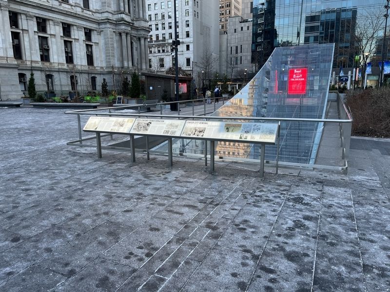
Other nearby markers. At least 8 other markers are within walking distance of this marker. 20th Century Transformation (here, next to this marker); Industry & the Railroad (here, next to this marker); The Building of City Hall (here, next to this marker); Centre Square Water Works (a few steps from this marker); The Plan for Philadelphia (a few steps from this marker); Dilworth Park (a few steps from this marker); In Commemoration of the Men of Irish Birth or Lineage (within shouting distance of this marker); Philadelphia City Hall Gates (within shouting distance of this marker). Touch for a list and map of all markers in Philadelphia.
Credits. This page was last revised on February 2, 2023. It was originally submitted on February 9, 2022, by Devry Becker Jones of Washington, District of Columbia. This page has been viewed 91 times since then and 11 times this year. Photos: 1, 2. submitted on February 9, 2022, by Devry Becker Jones of Washington, District of Columbia.

