Fullerton in Vernon Parish, Louisiana — The American South (West South Central)
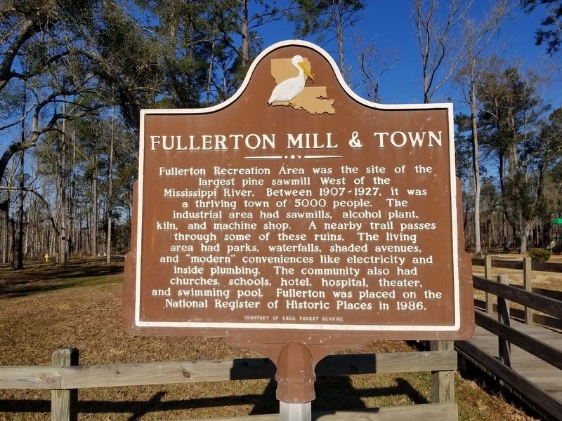
Fullerton Mill & Town
Fullerton Recreation Area was the site of the largest pine sawmill West of the Mississippi River. Between 1907 - 1927, it was a thriving town of 5000 people. The industrial area had sawmills, alcohol plant, kiln, and machine shop. A nearby trail passes through some of these ruins. The living area had parks, waterfalls, shaded avenues, and "modern" conveniences like electricity and inside plumbing. The community also had churches, schools, hotel, hospital, theater, and swimming pool. Fullerton was placed on the National Register of Historic Places in 1986.
Erected by USDA Forestry Service.
Topics. This historical marker is listed in these topic lists: Industry & Commerce • Settlements & Settlers.
Location. 31° 0.621′ N, 92° 59.204′ W. Marker is in Fullerton, Louisiana, in Vernon Parish. Marker is on Fullerton Lake Road, 0.7 miles south of Highway 399, on the left when traveling south. Touch for map. Marker is in this post office area: Pitkin LA 70656, United States of America. Touch for directions.
Other nearby markers. At least 8 other markers are within 9 miles of this marker, measured as the crow flies. Fullerton Pavilion (a few steps from this marker); Fullerton, Louisiana (within shouting distance of this marker); Sawmills & Electric Plant (about 300 feet away, measured in a direct line); Elementary and High School (approx. 0.3 miles away); Public Swimming Pool and Hospital (approx. 0.4 miles away); Religion in the Neutral Strip (approx. 6 miles away); a different marker also named Fullerton (approx. 8.7 miles away); Old Confederate Military Road (approx. 8.9 miles away). Touch for a list and map of all markers in Fullerton.
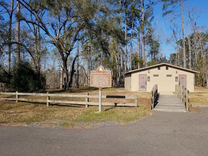
More about this marker. Located in front of the Fullerton Lake Campground building, in the Kisatchie National Forest.
Credits. This page was last revised on February 12, 2022. It was originally submitted on February 12, 2022, by Cajun Scrambler of Assumption, Louisiana. This page has been viewed 154 times since then and 15 times this year. Photos: 1, 2. submitted on February 12, 2022, by Cajun Scrambler of Assumption, Louisiana.

