Marker Logo HMdb.org THE HISTORICAL
MARKER DATABASE
“Bite-Size Bits of Local, National, and Global History”
Bay City in Matagorda County, Texas — The American South (West South Central)
 

Bandstand


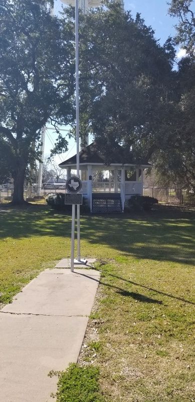
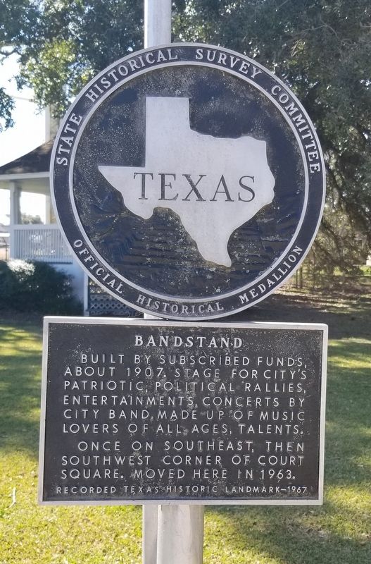
Bandstand Marker image. Click for full size.
Photographed By James Hulse, February 11, 2022
1. Bandstand Marker
Inscription. Built by subscribed funds, about 1907. Stage for city's patriotic political rallies, entertainments, concerts by city band, made up of music lovers of all ages, talents. Once on southeast, then southwest corner of court square. Moved here in 1963.
Recorded Texas Historic Landmark - 1967
 
Erected 1967 by State Historical Survey Committee. (Marker Number 295.)
 
Topics. This historical marker is listed in these topic lists: Arts, Letters, MusicCommunications. A significant historical year for this entry is 1907.
 
Location. 28° 58.913′ N, 95° 57.956′ W. Marker is in Bay City, Texas, in Matagorda County. Marker is at the intersection of 6th Street and Avenue I, on the right when traveling east on 6th Street. The marker is located at the front of the Liberty Park by the street. Touch for map. Marker is at or near this postal address: 2000 6th Street, Bay City TX 77414, United States of America. Touch for directions.
 
Other nearby markers. At least 8 other markers are within walking distance of this marker. "Bandstand" The Gazebo (a few steps from this marker); Bay City Library (about 600 feet away, measured in a direct line); First Presbyterian Church of Bay City (about 600 feet away); Original City Hall Building (about 700 feet away); Lewis Building (approx. 0.2 miles away);
Paid Advertisement
Click on the ad for more information.
Please report objectionable advertising to the Editor.
Click or scan to see
this page online
Matagorda Pharmacy Building (approx. 0.2 miles away); McLendon Building (approx. 0.2 miles away); Secrest Jewelry Co. (approx. 0.2 miles away). Touch for a list and map of all markers in Bay City.
 
The Bandstand and Marker image. Click for full size.
Photographed By James Hulse, February 11, 2022
2. The Bandstand and Marker
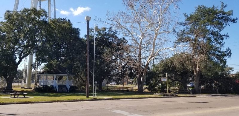
The view of the Bandstand and Marker from the street image. Click for full size.
Photographed By James Hulse, February 11, 2022
3. The view of the Bandstand and Marker from the street
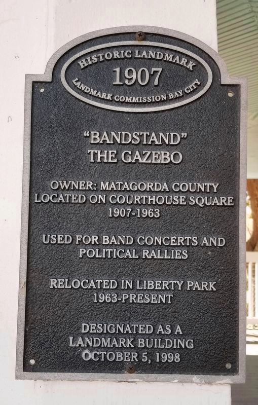
Landmark Bandstand marker on the gazebo image. Click for full size.
Photographed By James Hulse, February 11, 2022
4. Landmark Bandstand marker on the gazebo
Owner: Matagorda County
Located on Courthouse Square
1907-1963
Used for Band Concerts and
Political Rallies
Relocated in Liberty Park
1963-present
Designated as a
Landmark Building
October 5, 1998
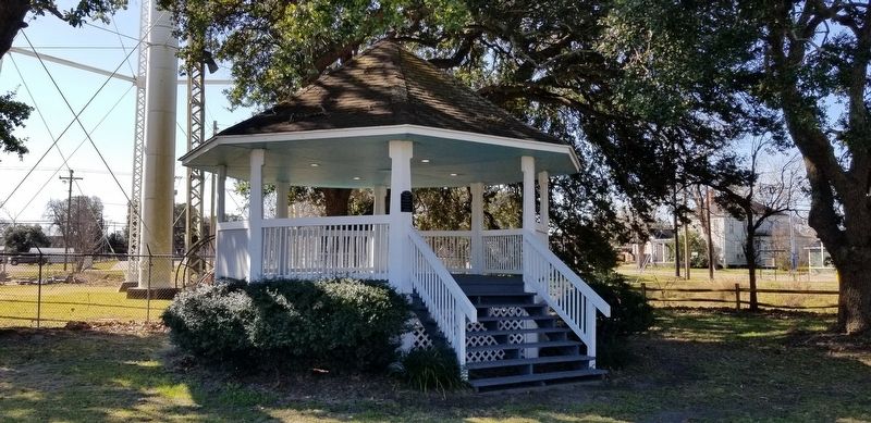
Closeup of the Bandstand image. Click for full size.
Photographed By James Hulse, February 11, 2022
5. Closeup of the Bandstand
 
 
Credits. This page was last revised on February 13, 2022. It was originally submitted on February 12, 2022, by James Hulse of Medina, Texas. This page has been viewed 94 times since then and 13 times this year. Photos:   1, 2, 3, 4, 5. submitted on February 13, 2022, by James Hulse of Medina, Texas.
Share this page.  
Share on Tumblr
m=191960

CeraNet Cloud Computing sponsors the Historical Marker Database.
This website earns income from purchases you make after using our links to Amazon.com. We appreciate your support.
Paid Advertisement
Apr. 18, 2024