Bay City in Matagorda County, Texas — The American South (West South Central)
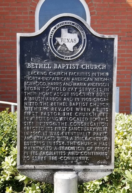
Bethel Baptist Church
Photographed by James Hulse, February 11, 2022
1. Bethel Baptist Church Marker
Erected 1992 by Texas Historical Commission. (Marker Number 388.)
Topics. This historical marker is listed in these topic lists: African Americans • Religion & Religious Structures. A significant historical year for this entry is 1904.
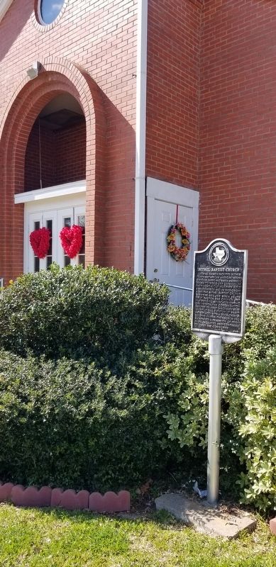
Location. 28° 59.523′ N, 95° 58.447′ W. Marker is in Bay City, Texas, in Matagorda County. It is at the intersection of Avenue C and Grace Street, on the right when traveling south on Avenue C. The marker is located on the right side of the front entrance to the church. Touch for map. Marker is at or near this postal address: 1208 Avenue C, Bay City TX 77414, United States of America. Touch for directions.

Regionally, this marker is in the American South and on the Gulf Coast. Globally, it is in North America, a Gulf of Mexico state, the Western Hemisphere, the Western World, and the Anglosphere. Historically, it finds itself in what was once New Spain, the Republic of Texas, one of the Confederate States of America, and the Antebellum South.
Other nearby markers. At least 8 other markers are within walking distance of this marker: Old Bay City Bank (approx. 0.7 miles away); Bay City Post Office (approx. 0.7 miles away); Cedarvale Cemetery (approx. 0.7 miles away); Sugar Cane Mill (approx. 0.7
this page online
Photographed by James Hulse, February 11, 2022
2. The Bethel Baptist Church and Marker
Photographed by James Hulse, February 11, 2022
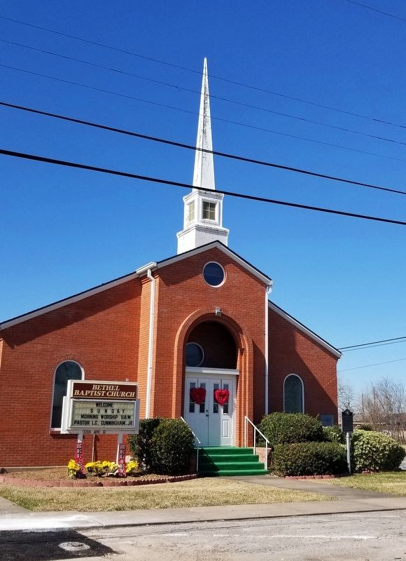
3. The Bethel Baptist Church
Photographed by James Hulse, February 11, 2022
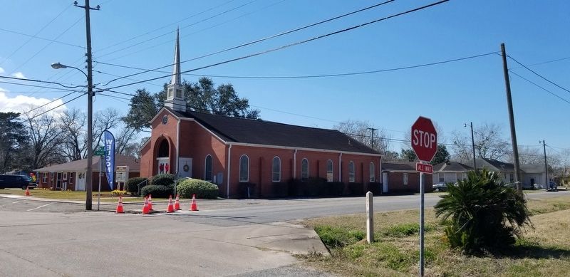
4. The view of the Bethel Baptist Church from across the street
Credits. This page was last revised on February 13, 2022. It was originally submitted on February 13, 2022, by James Hulse of Medina, Texas. This page has been viewed 258 times since then and 27 times this year. Photos: 1, 2, 3, 4. submitted on February 13, 2022, by James Hulse of Medina, Texas.
