Williamsport in Lycoming County, Pennsylvania — The American Northeast (Mid-Atlantic)
Opening the Frontier: West Branch Canal
The Timber Trail
— Susquehanna Riverwalk —
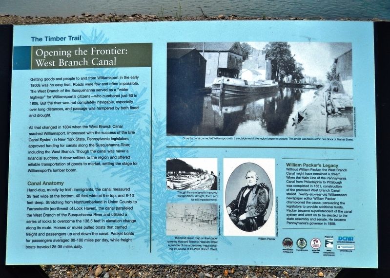
Getting goods and people to and from Williamsport in the early 1800s was no easy feat. Roads were few and often impassible. The West Branch of the Susquehanna served as a "water highway" for Williamsport's citizens — who numbered just 60 in 1806. But the river was not completely navigable, especially over long distances, and passage was hampered by both flood and drought.
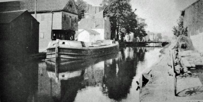
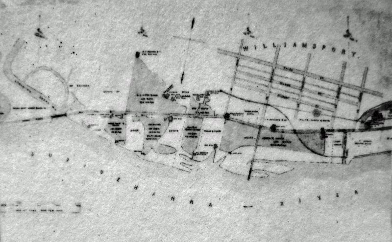
All that changed in 1834 when the West Branch Canal reached Williamsport. Impressed with the success of the Erie Canal System in New York State, Pennsylvania legislators approved funding for canals along the Susquehanna River, including the West Branch. Though the canal was never a financial success, it drew settlers to the region and offered reliable transportation of goods to market, setting the stage for Williamsport's lumber boom.
Canal Anatomy
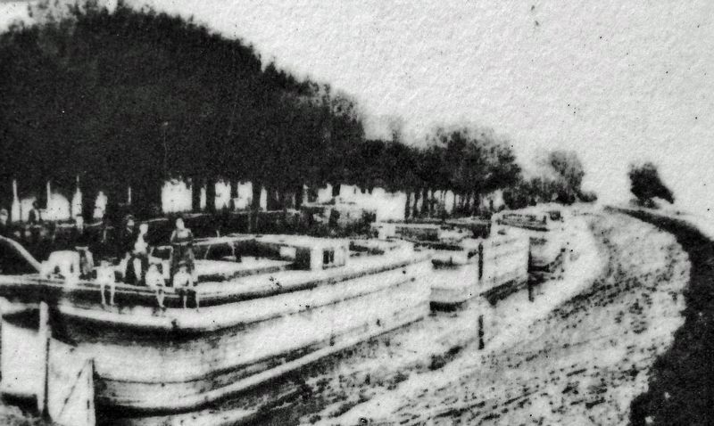
Hand-dug, mostly by Irish immigrants, the canal measured 28 feet wide at the bottom, 40 feet wide at the top, and 8-10 feet deep. Stretching from Northumberland in Union County to Farrandsville (northwest of Lock Haven), the canal paralleled the West Branch of the Susquehanna River and utilized a series of locks to overcome the 138.5 feet in elevation change along its route. Horses or mules pulled boats that carried freight and passengers up and down the canal. Packet boats for passengers averaged 80-100 miles per day, while freight boats traveled 25-35 miles daily.
William Packer's Legacy
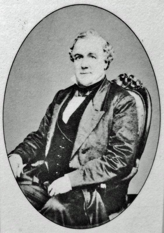
Without William Packer, the West Branch Canal might have remained a dream. When the Main Line of the Pennsylvania Canal from Philadelphia to Pittsburgh was completed in 1831, construction of the promised West Branch Canal stalled. Twenty-six-year-old Williamsport newspaper editor William Packer championed the cause, persuading the legislators to provide additional funds. Packer became superintendent of the canal system and went on to be elected to the state assembly and senate. He became Pennsylvania's governor in 1858.
Erected by Lumber Heritage Region of Pennsylvania, Inc., and Pennsylvania Department of Conservation & Natural Resources.
Topics and series. This historical marker is listed in these topic lists: Industry & Commerce • Settlements & Settlers • Waterways & Vessels. In addition, it is included in the Pennsylvania Canal series list. A significant historical year for this entry is 1834.
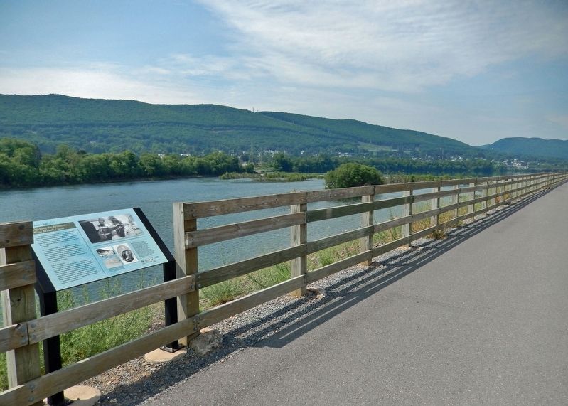
Location. 41° 14.218′ N, 77° 0.104′ W. Marker is in Williamsport, Pennsylvania, in Lycoming County. Marker can be reached from Market Street (U.S. 15) just south of Susquehanna Beltway (U.S. 220), on the right when traveling south. Marker is located along the Susquehanna Riverwalk,
on the north side of the West Branch Susquehanna River, between Market Street and Maynard Street. Touch for map. Marker is in this post office area: Williamsport PA 17701, United States of America. Touch for directions.
Other nearby markers. At least 8 other markers are within walking distance of this marker. Discover the Lumber Heritage Region (about 400 feet away, measured in a direct line); Williamsport's Lumber Barons (about 400 feet away); Traveling Through a Rugged Region (approx. 0.2 miles away); Growing a Sustainable Forest Industry (approx. 0.2 miles away); The Saw Dust War (approx. 0.2 miles away); Downtown Williamsport (approx. 0.2 miles away); St. Mark's Lutheran Church (approx. ¼ mile away); Dietrick Lamade (approx. ¼ mile away). Touch for a list and map of all markers in Williamsport.
Related markers. Click here for a list of markers that are related to this marker. The Timber Trail
Also see . . .
1. West Branch Canal.
The West Branch of the Susquehanna’s section of this canal system was constructed between 1828 and 1834. Irish immigrant laborers built the canal almost exclusively. The West Branch Canal formally opened on July 4, 1834. The canal provided industries the ability to ship goods to various locales and as a result, a variety of new industries located in the Williamsport area. Because the canal wharves were at the foot of Market Street, Market Square became a major crossroads of trade in the West Branch Valley. The canal was eventually superseded by the railroads as the primary means of transportation, and the great flood of 1889 was the death knell of the West Branch Canal.(Submitted on February 15, 2022, by Cosmos Mariner of Cape Canaveral, Florida.)
2. Pennsylvania Canal (West Branch Division).
It had 19 lift locks overcoming a total vertical rise of about 140 feet. The locks, beginning with No. 13, slightly upstream of the Northumberland Canal Basin, and ending with No. 34 at Lockport, across the river from Lock Haven, included two guard locks and an outlet lock in addition to the 19 lift locks.(Submitted on February 15, 2022, by Cosmos Mariner of Cape Canaveral, Florida.)
Credits. This page was last revised on February 15, 2022. It was originally submitted on February 13, 2022, by Cosmos Mariner of Cape Canaveral, Florida. This page has been viewed 172 times since then and 38 times this year. Photos: 1, 2, 3, 4, 5, 6. submitted on February 15, 2022, by Cosmos Mariner of Cape Canaveral, Florida.
