San Diego in San Diego County, California — The American West (Pacific Coastal)
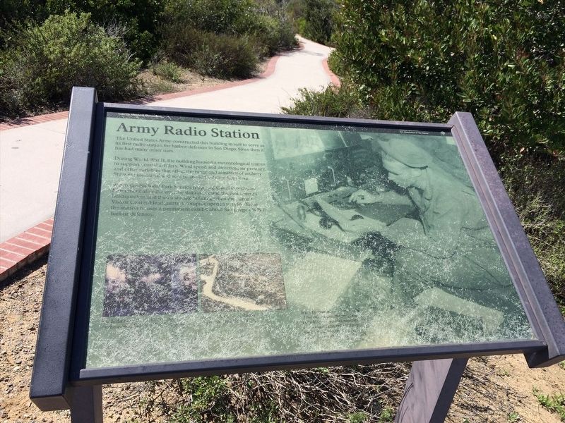
Army Radio Station
During World War II, the building housed a meteorological station to support coastal artillery. Wind speed and direction, air pressure and other variables that affect the range and accuracy of artillery were first measured and sent to artillery officers from here.
When the National Park Service reopened Cabrillo National Monument after the war, the station became the monument's headquarters and then a storage building when the current Visitors Center/Headquarters complex opened in 1966. Today the station houses a permanent exhibit about San Diego's WWII harbor defenses.
Erected by National Park Service.
Topics. This historical marker is listed in this topic list: War, World II. A significant historical year for this entry is 1918.
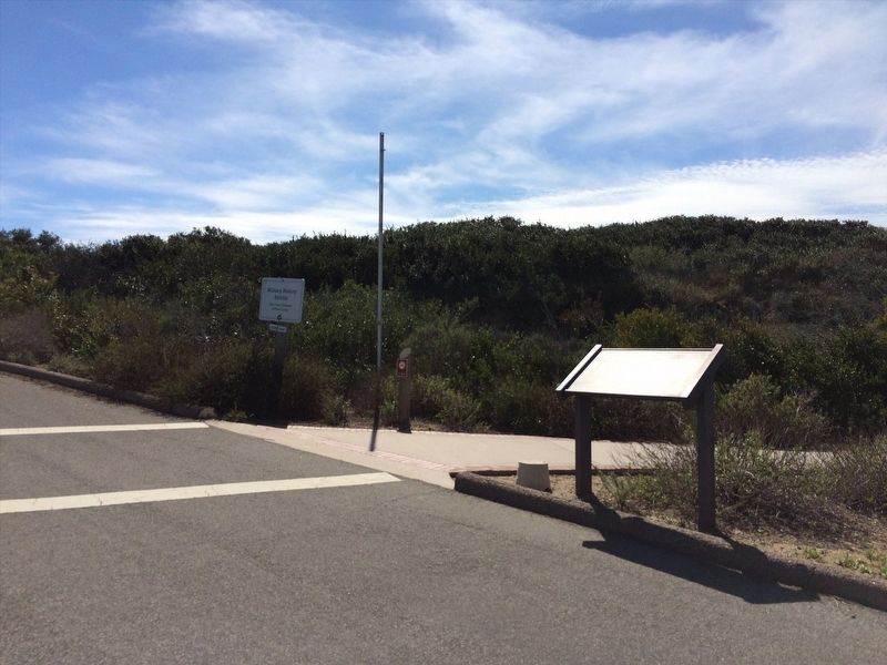
Location. 32° 40.396′ N, 117° 14.469′ W. Marker is in San Diego, California, in San Diego County. Marker is on Humphreys Road south of Cabrillo Memorial Drive, on the right when traveling south. Touch for map. Marker is in this post office area: San Diego CA 92106, United States of America. Touch for directions.
Other nearby markers. At least 8 other markers are within walking distance of this marker. They also serve who only stand and wait. (within shouting distance of this marker); Point Loma Lighthouse (within shouting distance of this marker); a different marker also named Army Radio Station (within shouting distance of this marker); Old Point Loma Lighthouse (about 300 feet away, measured in a direct line); Point Loma - The Early Years (about 300 feet away); The Civilian Conservation Corps (about 300 feet away); The Bayside Trail (about 300 feet away); Harbor Lights (about 300 feet away). Touch for a list and map of all markers in San Diego.
Additional commentary.
1.
Note, there are two identical markers named "Army Radio Station" at Cabrillo National Monument. This entry is for the eastern most of the two (the one closest to the Old Point Loma Lighthouse).
— Submitted February 16, 2022, by Adam Margolis of Mission Viejo, California.
Credits. This page was last revised on March 2, 2022. It was originally submitted on February 16, 2022, by Adam Margolis of Mission Viejo, California. This page has been viewed 99 times since then and 16 times this year. Photos: 1, 2. submitted on February 16, 2022, by Adam Margolis of Mission Viejo, California. • J. Makali Bruton was the editor who published this page.

