Pelham Bay Park in the Bronx in Bronx County, New York — The American Northeast (Mid-Atlantic)
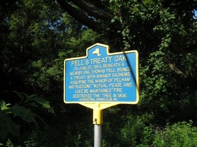
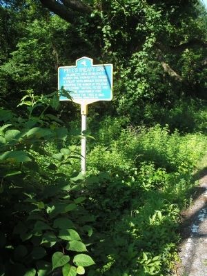
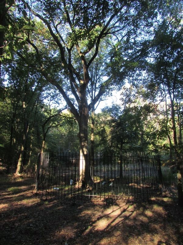
Pellís Treaty Oak
Erected by International Garden Club, Inc.
Topics. This historical marker is listed in these topic lists: Colonial Era • Settlements & Settlers. A significant historical date for this entry is June 27, 1654.
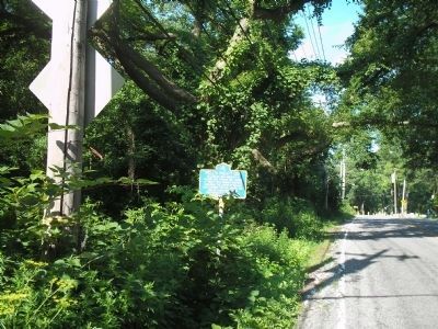
Location. 40° 52.419′ N, 73° 48.408′ W. Marker is in Bronx, New York, in Bronx County. It is in Pelham Bay Park. Marker is on Shore Road, on the right when traveling north. Marker is located in Pelham Bay Park, across from Split Rock Golf Course. Touch for map. Marker is in this post office area: Bronx NY 10464, United States of America. Touch for directions.
Other nearby markers. At least 8 other markers are within 2 miles of this marker, measured as the crow flies. Bartow Pell Mansion (about 700 feet away, measured in a direct line); Bartow Ė Pell Mansion (about 700 feet away); Gloverís Rock (approx. 0.6 miles away); a different marker also named Gloverís Rock (approx. 0.6 miles away); Battle of Pelham (approx. 1.1 miles away); Freedomland USA Theme Park (approx. 1.2 miles away); World War II Memorial (approx. 1Ĺ miles away); Vietnam War Veterans (approx. 1Ĺ miles away). Touch for a list and map of all markers in Bronx.
Credits. This page was last revised on March 8, 2023. It was originally submitted on June 19, 2010, by Bill Coughlin of Woodland Park, New Jersey. This page has been viewed 1,319 times since then and 165 times this year. Last updated on February 16, 2022, by Carl Gordon Moore Jr. of North East, Maryland. Photos: 1, 2, 3. submitted on June 19, 2010, by Bill Coughlin of Woodland Park, New Jersey. 4. submitted on October 12, 2016, by Bill Coughlin of Woodland Park, New Jersey. • J. Makali Bruton was the editor who published this page.


