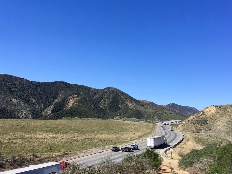
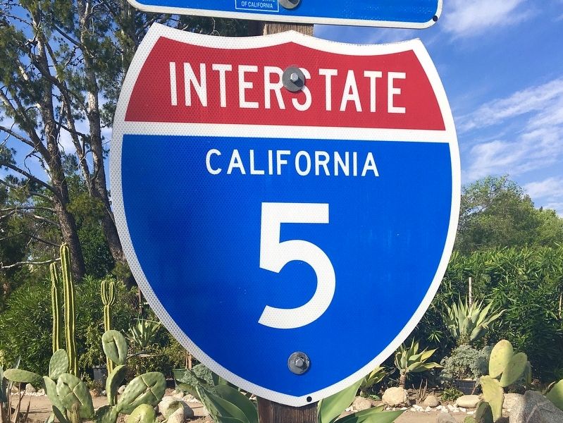
Near Lebec in Kern County, California — The American West (Pacific Coastal)
Interstate Highway 5
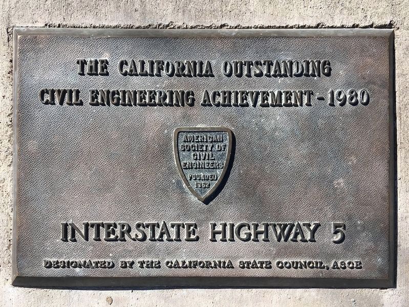
The California Outstanding Civil Engineering Achievement - 1980, Interstate Highway 5, designated by the California State Council, ASCE.
Erected 1980 by American Society of Civil Engineers.
Topics and series. This historical marker is listed in these topic lists: Industry & Commerce • Roads & Vehicles. In addition, it is included in the ASCE Civil Engineering Landmarks series list. A significant historical year for this entry is 1980.
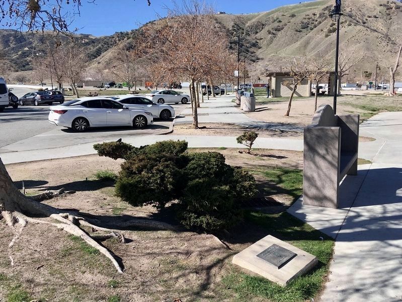
Location. 34° 49.549′ N, 118° 52.218′ W. Marker is near Lebec, California, in Kern County. Marker can be reached from Interstate 5, 0.8 miles north of Frazier Mountain Park Road. Identical markers are located in both Highway Rest Areas, on the northbound side and southbound side. Touch for map. Marker is in this post office area: Lebec CA 93243, United States of America. Touch for directions.
Other nearby markers. At least 8 other markers are within 5 miles of this marker, measured as the crow flies. Don Pedro Fages (approx. 0.6 miles away); Camel Brigade (approx. 3.6 miles away); Peter Lebeck (approx. 3.6 miles away); The Camels of Fort Tejon (approx. 3.6 miles away); Camel Trail Terminus (approx. 3.6 miles away); Fort Tejon (approx. 3.6 miles away); Peter Lebec (approx. 3.6 miles away); El Camino Viejo (approx. 4.2 miles away). Touch for a list and map of all markers in Lebec.
Regarding Interstate Highway 5. The old Ridge Route, completed in 1915, was replaced by US-99 in 1934, which was replaced by Interstate 5 in 1968.
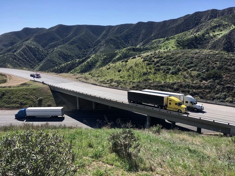
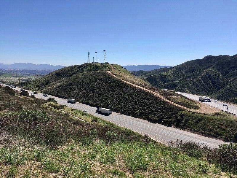
In order to make the grade on I-5 north of Castaic manageable for trucks, northbound lanes switch sides with southbound lanes and for several miles the traffic lanes are on the left side rather than the right side. With each set of lanes on opposite sides of a canyon, the downhill traffic is on a more gradual slope, which is safer for heavy trucks.
This configuration is uncommon. Interstate 8 east of Yuma, Arizona has a similar inversion of its east and westbound lanes.
Credits. This page was last revised on September 22, 2022. It was originally submitted on February 18, 2022, by Craig Baker of Sylmar, California. This page has been viewed 1,019 times since then and 56 times this year. Photos: 1, 2, 3, 4, 5, 6. submitted on February 18, 2022, by Craig Baker of Sylmar, California.
