Sault Ste. Marie in Chippewa County, Michigan — The American Midwest (Great Lakes)
Sault Ste. Marie Indian Agency

G Witteveen via Flickr (cropped) (CC BY-NC 2.0), August 11, 2021
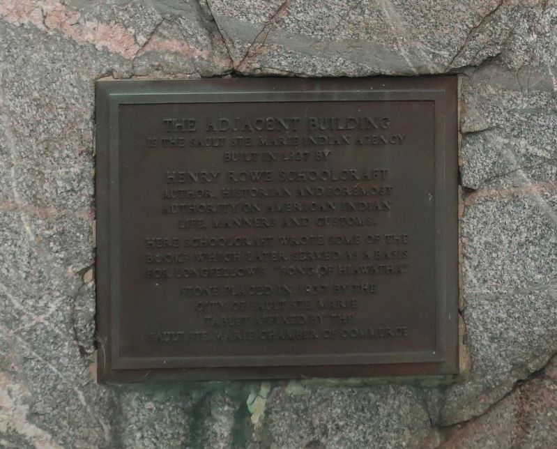
1. Sault Ste. Marie Indian Agency Marker
is the Sault Ste. Marie Indian Agency
built in 1827 by
Henry Rowe Schoolcraft
Author, historian and foremost
authority on American Indian
life, manners and customs.
Here Schoolcraft wrote some of the
books which later served as a basis
for Longfellow's "Song of Hiawatha."
Stone placed in 1937 by the
City of Sault Ste. Marie
Tablet affixed by the
Sault Ste. Marie Chamber of Commerce
Erected 1937 by City of Sault St. Marie • Sault Ste. Marie Chamber of Commerce.
Topics. This historical marker is listed in these topic lists: Architecture • Arts, Letters, Music • Government & Politics • Native Americans. A significant historical year for this entry is 1827.
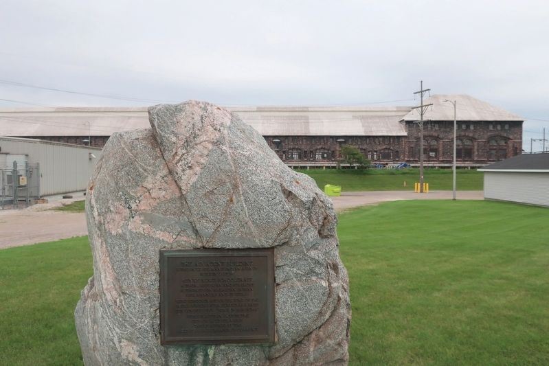
Location. 46° 29.741′ N, 84° 19.9′ W. Marker is in Sault Ste. Marie, Michigan, in Chippewa County. Marker is at the intersection of East Portage Avenue and Barbeau Street, on the left when traveling east on East Portage Avenue. Touch for map. Marker is at or near this postal address: 702 E Portage Ave, Sault Sainte Marie MI 49783, United States of America. Touch for directions.
Other nearby markers. At least 8 other markers are within walking distance of this marker. Our Street Names, Our History (approx. 0.3 miles away); Elmwood (approx. 0.4 miles away); John Johnston House (approx. 0.4 miles away); John Johnson Family (approx. 0.4 miles away); First Mission Church (approx. half a mile away); St. Mary's Pro-Cathedral (approx. half a mile away); Fort Chevalier DeRepentigny (approx. half a mile away); The King's Grant (approx. half a mile away). Touch for a list and map of all markers in Sault Ste. Marie.
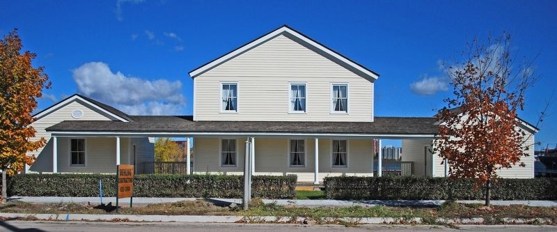
More about this marker. The building that the marker refers to, called "Elmwood," was moved a half-mile away to Brady Park in 1979.
Also see . . . “Elmwood”: The Schoolcraft Indian Agency House. It took five years for Schoolcraft to get the office/house the government had promised him. When it was finally built in 1827, it was the first frame building erected in Sault Ste. Marie. (River of History Museum) (Submitted on February 23, 2022, by Duane and Tracy Marsteller of Murfreesboro, Tennessee.)

Andrew Jameson via Wikimedia Commons (CC BY-SA 3.0), October 7, 2010
3. Elmwood
So-named because it was built in a grove of elm trees, the building was headquarters for Indian affairs throughout the upper Great Lakes as well as the home of the Schoolcrafts. The agency headquarters was moved to Mackinac Island in 1833, but was still used by the agency through the 1840s.
Credits. This page was last revised on February 23, 2022. It was originally submitted on February 21, 2022, by Duane and Tracy Marsteller of Murfreesboro, Tennessee. This page has been viewed 152 times since then and 6 times this year. Photos: 1, 2. submitted on February 21, 2022, by Duane and Tracy Marsteller of Murfreesboro, Tennessee. 3. submitted on February 23, 2022, by Duane and Tracy Marsteller of Murfreesboro, Tennessee.
