Flower Mound in Denton County, Texas — The American South (West South Central)
Flower Mound
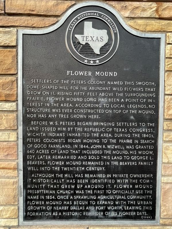
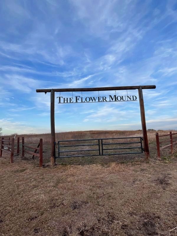
Settlers of the Peters Colony named this smooth, dome-shaped hill for the abundant wild flowers that grow on it. Rising fifty feet above the surrounding prairie, Flower Mound, long has been a point of interest in the area. According to local legends, no structure was ever constructed on top of the mound, nor has any tree grown here.
Before W. S. Peters began bringing settlers to the land issued him by the Republic of Texas Congress, Wichita Indians inhabited the area. During the 1840s, Peters colonists began moving to the prairie in search of good farmland. In 1844, John R. Wizwell was granted 640 acres of land that included the mound. His widow, Edy, later remarried and sold this land to George L. Beavers. Flower Mound remained in the Beavers family well into the twentieth century.
Although the hill has remained in private ownership, it historically has been identified with the community that grew up around it. Flower Mound Presbyterian Church was the first to officially use the name in 1854. Once a sprawling agricultural community, Flower Mound has begun to expand with the urban growth of nearby Dallas and Fort Worth, leaving this formation as a historic reminder of its pioneer days.
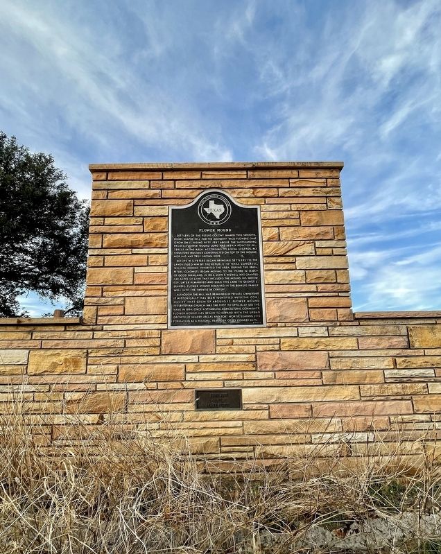
Erected 1984 by Texas Historical Commission. (Marker Number 1926.)
Topics. This historical marker is listed in these topic lists: Environment • Settlements & Settlers. A significant historical year for this entry is 1854.
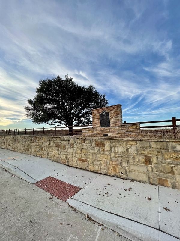
Location. 33° 0.837′ N, 97° 4.008′ W. Marker is in Flower Mound, Texas, in Denton County. Marker is on Flower Mound Road (Farm to Market Road 3040) west of Lake Forest Boulevard, on the right when traveling west. Touch for map. Marker is in this post office area: Flower Mound TX 75022, United States of America. Touch for directions.
Other nearby markers. At least 8 other markers are within 5 miles of this marker, measured as the crow flies. Flower Mound Presbyterian Church (approx. ¾ mile away); McCombs Cemetery (approx. 2 miles away); The Peters Colony (approx. 3.2 miles away); Bethel Community (approx. 3.3 miles away); McCurley Cemetery (approx. 4.2 miles away); Morgan Hood Survey Pioneer Cemetery (approx. 4.3 miles away); James Tracy Morehead (approx. 4.3 miles away); Grapevine Cemetery (approx. 4½ miles away). Touch for a list and map of all markers in Flower Mound.
Credits. This page was last revised on February 23, 2022. It was originally submitted on February 23, 2022, by J Frye of Fort Worth, Texas. This page has been viewed 334 times since then and 74 times this year. Photos: 1, 2, 3, 4. submitted on February 23, 2022, by J Frye of Fort Worth, Texas. • J. Makali Bruton was the editor who published this page.


