Fallon in Churchill County, Nevada — The American Mountains (Southwest)
Helicopter Antisubmarine Squadron Four Crash Site
Inscription.
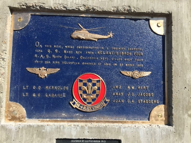
On this site, while participating in a training exercise, five U.S. Navy men from Helantisubron Four N.A.S. North Island, California were killed when their SH-3 Sea King helicopter crashed at 1245 on 22 March 1978
HS-4 Black Knights
LT C.O. Reynolds · LT S.G. LaBarre · AW2 R.W. Hart · AWAN J.C. Jacobs · AOAN S.A. Staggers
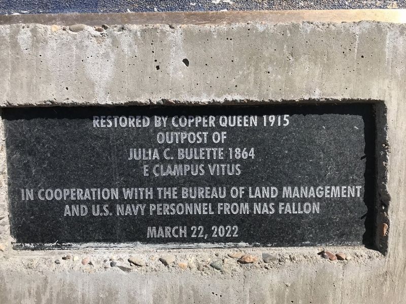
Restored by Copper Queen 1915
Outpost of Julia C. Bulette 1864
E Clampus Vitus
In cooperation with the Bureau of Land Management and U.S. Navy personnel from NAS Fallon
March 22, 2022
Erected by U.S. Navy, E Clampus Vitus.
Topics and series. This historical marker is listed in these topic lists: Air & Space • Disasters. In addition, it is included in the E Clampus Vitus series list. A significant historical date for this entry is March 22, 1978.
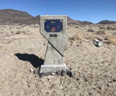
Location. 39° 18.383′ N, 118° 27.35′ W. Marker is in Fallon, Nevada, in Churchill County. Marker is on Old Carson Highway north of Nevada Route 50, on the left when traveling north. From Fallon at 50/95 (Williams and Taylor) head east a total of 22.1 miles. Pass Salt Wells dump station (on the right a red building). From this spot it is 7.8 miles and there is a dirt road (Old Carson Highway) on the left. Follow a couple hundred feet and turn left and follow it 1.5 miles to the monument. Or, from the junction at Middlegate Highway 50/361 head west 23.7 miles. At 4.1 miles past Sand Mountain on the right, just past the cell tower on the left, there is a dirt road (Old Carson Highway) on the right. Follow a couple hundred feet and turn left and follow it 1.5 miles to the monument. Touch for map. Marker is in this post office area: Fallon NV 89406, United States of America. Touch for directions.
Other nearby markers. At least 8 other markers are within 13 miles of this marker, measured as the crow flies. Sand Mountain Pony Express Station (approx. 2.3 miles away); Swift Steeds Tie East to West (approx. 2.4 miles away); What Are Those Rocks Out There? (approx. 2.4 miles away); Sand Mountain (approx. 3.1 miles away); Pony Express Route (approx. 6.4 miles away); Rock Art & Game Trails (approx. 12.1 miles away); Beachfront Property (approx. 12.1 miles away); Ensuring Success (approx. 12.1 miles away). Touch for a list and map of all markers in Fallon.
Credits. This page was last revised on March 2, 2022. It was originally submitted on February 26, 2022, by Matthew J Ebert of Gerlach, NV. This page has been viewed 651 times since then and 83 times this year. Photos: 1, 2, 3. submitted on February 26, 2022, by Matthew J Ebert of Gerlach, NV. • J. Makali Bruton was the editor who published this page.


