Fairmount Park in Philadelphia in Philadelphia County, Pennsylvania — The American Northeast (Mid-Atlantic)
Girard Avenue Bridge
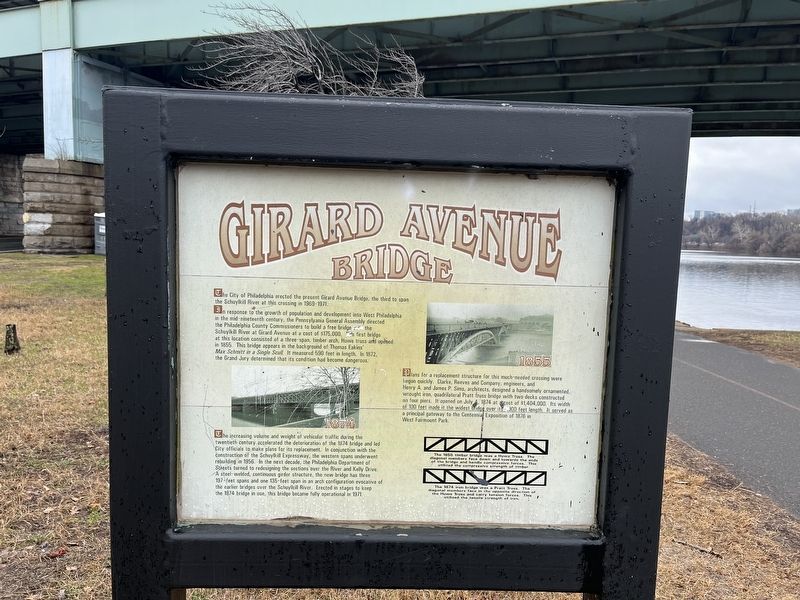
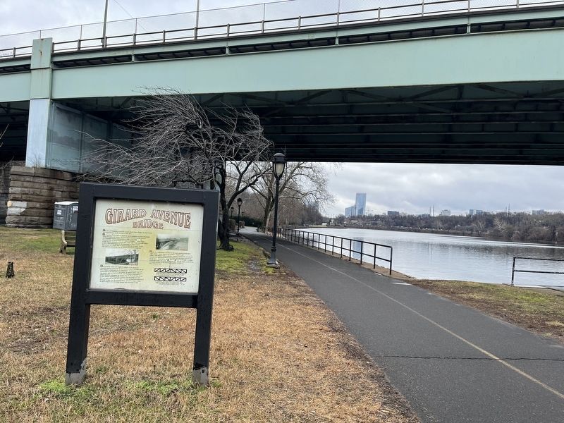
The City of Philadelphia erected the present Girard Avenue Bridge, the third to span the Schuylkill River at this crossing in 1969-1971.
In response to the growth of the population and development into West Philadelphia in the mid-nineteenth century, the Philadelphia General Assembly directed the Philadelphia County Commissioners to build a free bridge over the Schuylkill River at Girard Avenue at a cost of $175,000. This first bridge at this location consisted of a three-span, timber arch, Howe truss and opened in 1855. This bridge appears in the background of Thomas Eakins' Max Schmitt in a Single Scull It measured 590 feet in length. In 1872, the Grand Jury determined that its condition had become dangerous.
The increasing volume and weight of vehicular traffic during the twentieth century accelerated the deterioration of the 1874 bridge and led City officials to make plans for its replacement. In conjunction with the construction of the Schuylkill Expressway, the western spans underwent rebuilding in 1956. In the next decade, the Philadelphia Department of Streets turned to redesigning the sections over the River and Kelly Drive. A steel-welded, continuous girder structure, the new bridge has three 197-feet spans and one 135-feet span in an arch configuration evocative of the earlier bridges over the Schuylkill River. Erected in stages to keep the 1874 bridge in use, this bridge became fully operational in 1971.
Plans for a replacement structure for this much-needed crossing were begun quickly. Clarke, Reeves and Company, engineers, and Henry A. and James P. Sims, architects, designed a handsomely ornamented, wrought iron, quadrilateral Pratt truss bridge with two decks constructed on four piers. It opened on July 4, 1874 at a cost of $1,404,000. Its width of 100 feet made it the widest bridge over its 1000 feet length. It served as a principal gateway to the Centennial Exposition of 1876 in West Fairmount Park.
[Captions:]
The 1855 timber bridge was a Howe Truss. The diagonal members face down and towards the ends of the bridge and handle compressive forces. This utilized the compressive strength of timber.
The 1874 iron bridge was a Pratt Truss. The diagonal members face in the opposite direction of the Howe Truss and carry tension forces. This utilized the tensile strength of iron.
Topics. This historical marker is listed in these topic lists: Architecture • Bridges & Viaducts • Roads & Vehicles. A significant historical date for this entry is July 4, 1874.
Location. 39° 58.55′ N, 75° 11.545′ W. Marker is in Philadelphia, Pennsylvania, in Philadelphia
Other nearby markers. At least 8 other markers are within walking distance of this marker. North Terrace (about 500 feet away, measured in a direct line); Connecting Railroad Bridge (about 500 feet away); Cowboy (approx. 0.2 miles away); James A. Garfield Monument (approx. 0.2 miles away); The Philadelphia Zoo (approx. 0.2 miles away); America's First Zoo (approx. 0.2 miles away); Welcome back! (approx. 0.2 miles away); Central Terrace (approx. 0.2 miles away). Touch for a list and map of all markers in Philadelphia.
Credits. This page was last revised on February 2, 2023. It was originally submitted on February 27, 2022, by Devry Becker Jones of Washington, District of Columbia. This page has been viewed 190 times since then and 52 times this year. Photos: 1, 2. submitted on February 27, 2022, by Devry Becker Jones of Washington, District of Columbia.

