Three Forks in Gallatin County, Montana — The American West (Mountains)
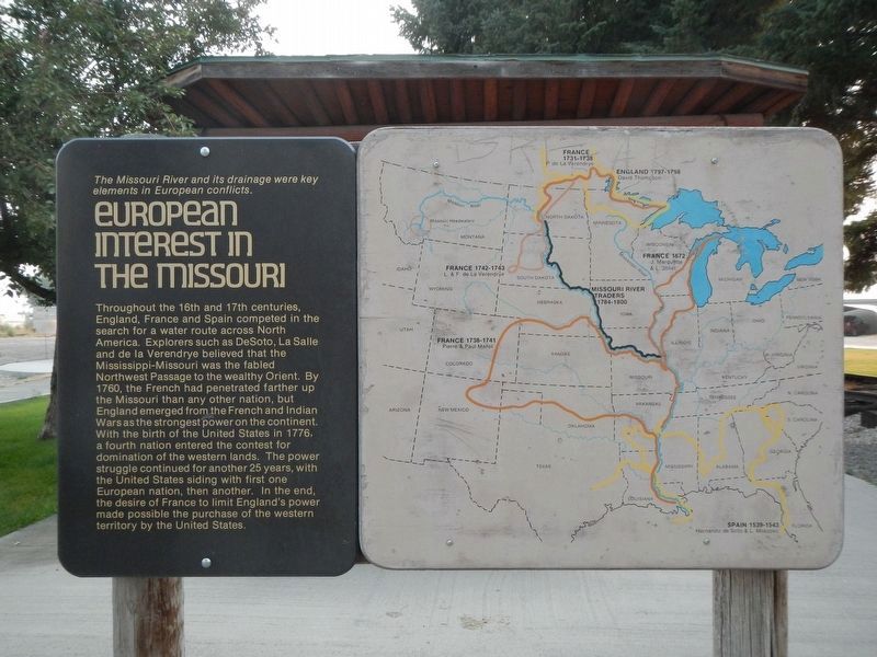
European Interest in the Missouri
Inscription.
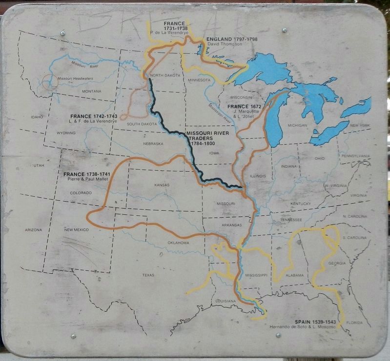
Throughout the 16th and 17th centuries, England, France and Spain competed in the search for a water route across North America. Explorers such as DeSoto, La Salle and de la Verendrye believed that the Mississippi-Missouri was the fabled Northwest Passage to the wealthy Orient. By 1760, the French had penetrated father up the Missouri that any other nation, but England emerged from the French and Indian Wars as the strongest power on the continent. With the birth of the United States in 1776, a fourth nation entered the contest for domination of the western lands. The power struggle continued for another 25 years, with the United States siding with one European nation, then another. In the end, the desire of France to limit England's power made possible the purchase of the western territory by the United States.
Topics. This historical marker is listed in these topic lists: Colonial Era • Exploration.
Location. 45° 53.798′ N, 111° 33.085′ W. Marker is in Three Forks, Montana, in Gallatin County. Marker is at the intersection of North Main Street (State Highway 2) and Cottonwood, on the left when traveling north on North Main Street. The marker is near Three Forks Chamber of Commerce. Touch for map. Marker is at or near this postal address: 110 North Main Street, Three Forks MT 59752, United States of America. Touch for directions.
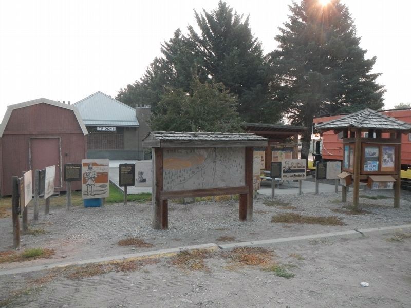
Other nearby markers. At least 8 other markers are within walking distance of this marker. Native Americans (here, next to this marker); Fur Trade (here, next to this marker); Louisiana Purchase - 1803 (here, next to this marker); Lewis & Clark Arrive at the Headwaters July, 1805 (here, next to this marker); The Fur Trapper (here, next to this marker); Colter's Run 1808 (here, next to this marker); Three Forks Post - 1810 (here, next to this marker); Sacajawea Captured in 1800 (here, next to this marker). Touch for a list and map of all markers in Three Forks.
Credits. This page was last revised on February 28, 2022. It was originally submitted on February 28, 2022, by Barry Swackhamer of Brentwood, California. This page has been viewed 82 times since then and 10 times this year. Photos: 1, 2, 3. submitted on February 28, 2022, by Barry Swackhamer of Brentwood, California.


