West Chester in Chester County, Pennsylvania — The American Northeast (Mid-Atlantic)
Milltown Springhouse
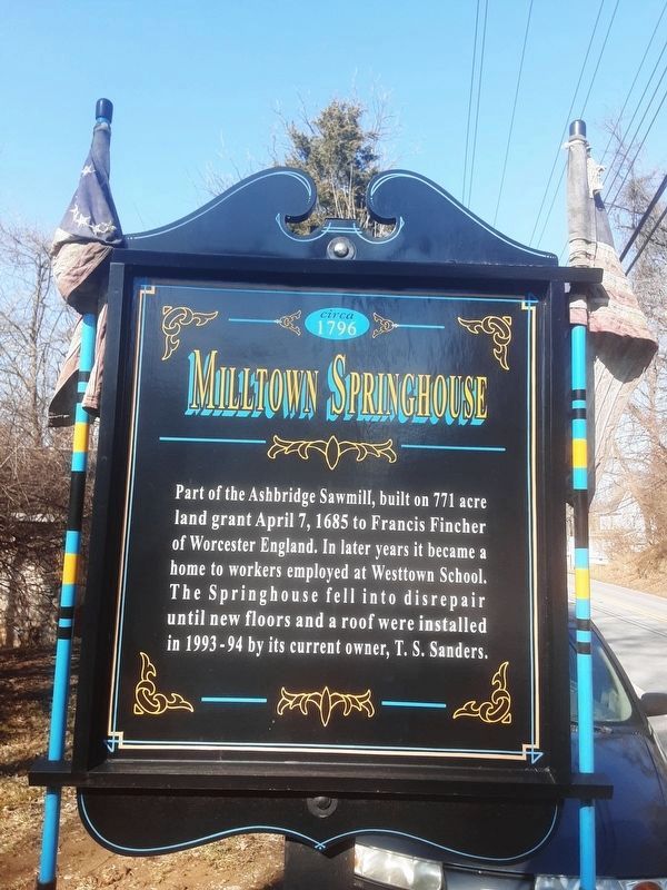
Photographed by Carl Gordon Moore Jr., February 27, 2022
1. Milltown Springhouse Marker
Facing south along Westtown Way.
1796
Part of the Ashbridge Sawmill, built on 771 acre land grant April 7, 1685 to Francis Fincher of Worcester England. In later years it became a home to workers employed at Westtown School. The Springhouse fell into disrepair until new floors and a roof were installed in 1993 - 94 by its current owner, T. S. Sanders.
Topics. This historical marker is listed in these topic lists: Colonial Era • Settlements & Settlers. A significant historical date for this entry is April 7, 1685.
Location. 39° 57.871′ N, 75° 32.684′ W. Marker is in West Chester, Pennsylvania, in Chester County. It is on Westtown Way just south of West Chester Pike (Pennsylvania Route 3), on the left when traveling north. Touch for map. Marker is at or near this postal address: 60 Westtown Way, West Chester PA 19382, United States of America. Touch for directions.

Regionally, this marker is in Southeast Pennsylvania and in Greater Philadelphia. It is also in the American Northeast and in the Mid-Atlantic. Globally, it is in North America, the Western Hemisphere, the Western World, and the Anglosphere. Historically, it finds itself
this page online
Other nearby markers. At least 8 other markers are within 2 miles of this marker, measured as the crow flies: Rocky Hill (approx. 0.9 miles away); Goshen Baptist Church (approx. one mile away); POW and MIA Memorial (approx. 1.8 miles away); Goshenville Blacksmith and Wheelwright Shops (approx. 1.9 miles away); Milltown/Hickman Plank House (approx. 1.9 miles away); Goshenville (approx. 1.9 miles away); Historic Agricultural Landscape: Preserved for the Public Good (approx. 2.1 miles away); Camp Elder Civil War Paroled P.O.W. Camp (approx. 2.1 miles away). Touch for a list and map of all markers in West Chester.
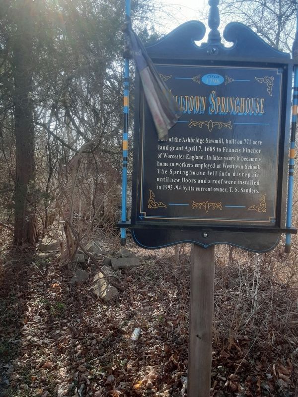
Photographed by Carl Gordon Moore Jr., February 27, 2022
2. Milltown Springhouse Marker
Different copy of this marker, to north of photo 1 and facing opposite direction.
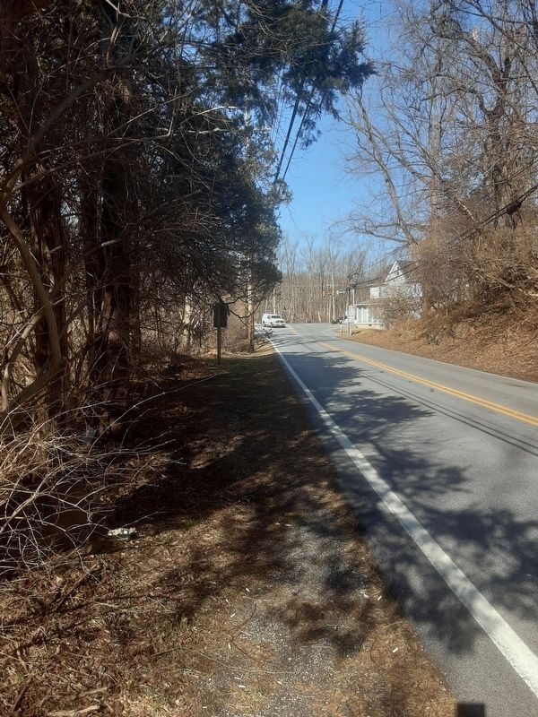
Photographed by Carl Gordon Moore Jr., February 27, 2022
3. Milltown Springhouse Marker
Facing north toward West Chester Pike. Rear of photo 2 marker is visible.
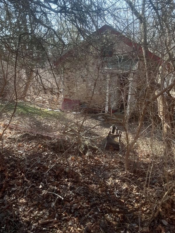
Photographed by Carl Gordon Moore Jr., February 27, 2022
4. Milltown Springhouse Marker
Facing west while between the markers of photos 1 and 2.
Credits. This page was last revised on March 14, 2022. It was originally submitted on February 28, 2022, by Carl Gordon Moore Jr. of North East, Maryland. This page has been viewed 979 times since then and 98 times this year. Photos: 1, 2, 3. submitted on February 28, 2022, by Carl Gordon Moore Jr. of North East, Maryland. 4. submitted on March 1, 2022, by Carl Gordon Moore Jr. of North East, Maryland. • Bill Pfingsten was the editor who published this page.
