Folsom in Sacramento County, California — The American West (Pacific Coastal)
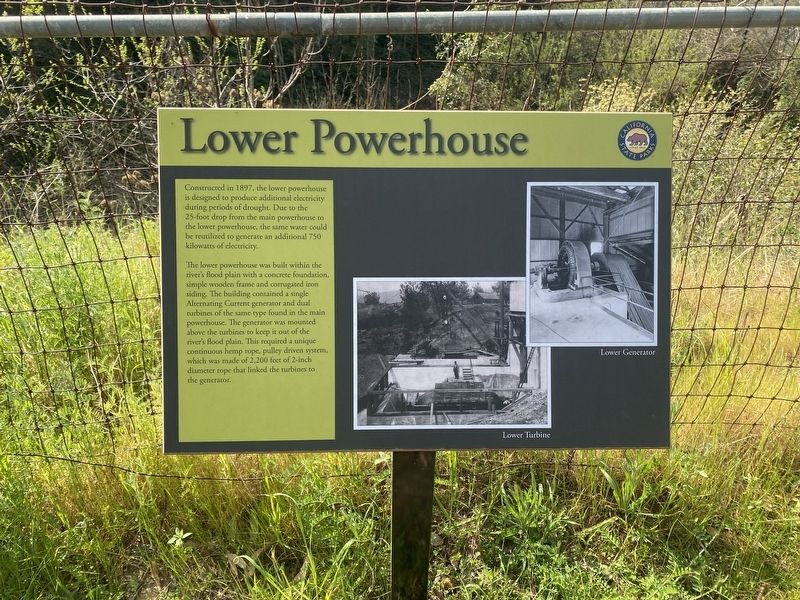
Lower Powerhouse
The lower powerhouse was built within the river's flood plain with a concrete foundation, simple wooden frame and corrugated iron siding. The building contained a single Alternating Current generator and dual turbines of the same type found in the main powerhouse. The generator was mounted above the turbines to keep it out of the river's flood plain. This required a unique continuous hemp rope, pulley driven system, which was made of 2,200 feet of 2-inch diameter rope that linked the turbines to the generator.
Erected by California State Parks.
Topics. This historical marker is listed in this topic list: Industry & Commerce.
Location. 38° 40.803′ N, 121° 10.632′ W. Marker is in Folsom, California, in Sacramento County. Touch for map. Marker is in this post office area: Folsom CA 95630, United States of America. Touch for directions.
Other nearby markers. At least 8 other markers are within walking distance of this marker. Cutting Edge Technology (within shouting distance of this marker); Main Powerhouse (within shouting distance of this marker); Pushing Electrons (within shouting distance of this marker); Original Folsom Hydroelectric Plant (within shouting distance of this marker); An Electrifying Past (within shouting distance of this marker); Forebay (about 300 feet away, measured in a direct line); J. Clifton Toney (approx. 0.2 miles away); Ashland Station (approx. 0.2 miles away). Touch for a list and map of all markers in Folsom.
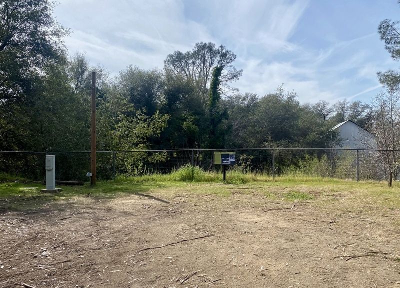
More about this marker. The marker is located within Folsom Powerhouse State Historic Park, between the machine shop and main powerhouse. It's off to the side a bit, but still easily seen.
Also see . . . Folsom Powerhouse State Historic Park (California State Parks). (Submitted on March 1, 2022.)
Credits. This page was last revised on March 1, 2022. It was originally submitted on February 28, 2022, by Andrew Ruppenstein of Lamorinda, California. This page has been viewed 102 times since then and 7 times this year. Photos: 1. submitted on February 28, 2022, by Andrew Ruppenstein of Lamorinda, California. 2. submitted on March 1, 2022, by Andrew Ruppenstein of Lamorinda, California.

