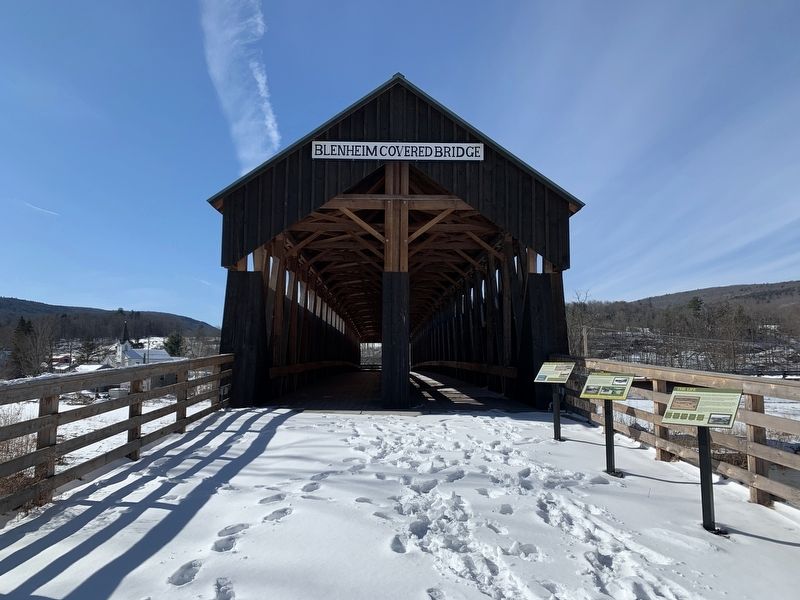
Near North Blenheim in Schoharie County, New York — The American Northeast (Mid-Atlantic)
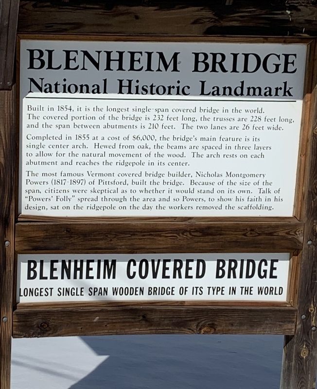
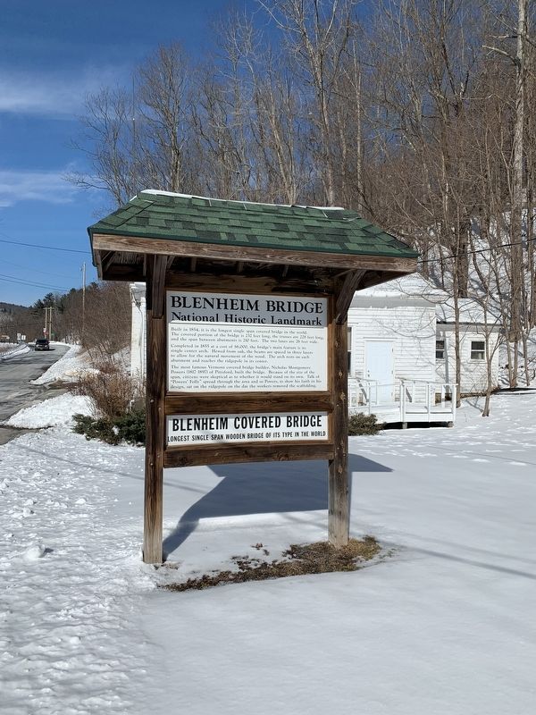
Blenheim Bridge
National Historic Landmark
Built in 1854, it is the longest single-span covered bridge in the world. The covered portion of the bridge is 232 feet long, the trusses are 228 feet long, and the span between abutments is 210 feet. The two lanes are 26 feet wide.
Completed in 1855 at a cost of $6,000, the bridge's main feature is it's single center arch. Hewed from oak, the beams are spaced in three layers to allow for the natural movement of the wood. The arch rests on each abutment and reaches the ridgepole in its center.
The most famous Vermont covered bridge builder, Nicholas Montgomery Powers (1817-1897) of Pittsford, built the bridge. Because of the size of the span, citizens were skeptical as to whether it would stand on its own. Talk of "Powers' Folly” spread through the area and so Powers, to show his faith in his design, sat on the ridgepole on the day the workers removed the scaffolding.
Blenheim Covered Bridge
Longest Single Span Wooden Bridge Of Its Type In The World
(rear side)
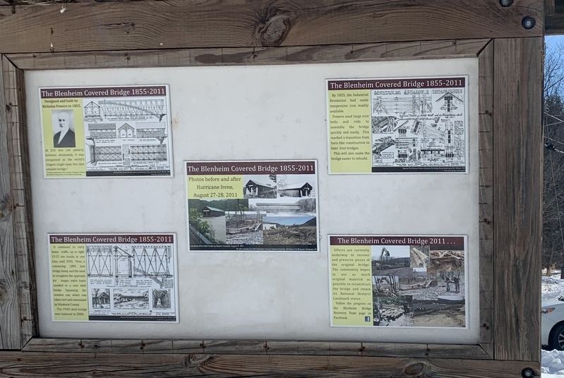
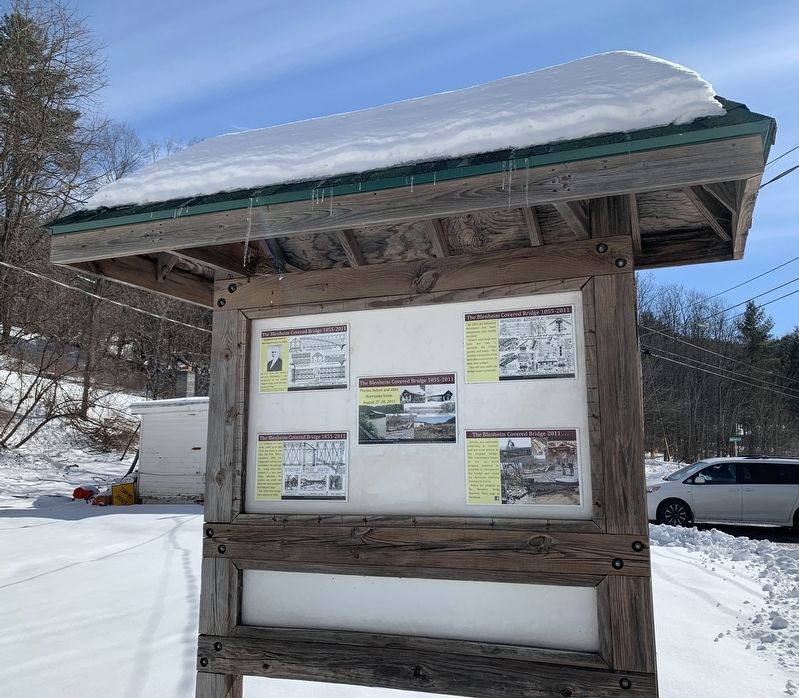
The Blenheim Covered Bridge 1855-2011
Designed and built by Nicholas Powers in 1855.
At 210 feet (64 meters) between abumments, it was recognized as the world's longest stngle-span two lane wooden bridge.
At 210 feet (64 meters) between abumments, it was recognized as the world's longest single-span two lane wooden bridge.
The Blenheim Covered Bridge 1855-2011
By 1855, the Industrial Revolution had made inexpensive iron readily available.
Powers used large iron bolts and rods to assemble the bridge quickly and easily. This marked a transition from barn-like construction to later iron bridges.
This will also make the bridge easier to rebuild.
The Blenheim Covered Bridge 1855-2011
Photos before and after Hurricane Irene, August 27-28, 2011
The Blenheim Covered Bridge 1855-2011
It continued to carry heavy traffic up to eight 13-15 ton trucks at one time until 1930. Then a connecting 1885 iron bridge failed, and the need to straighten the approach for longer, wider loads resulted in a new steel bridge bypassing the wooden one, which was taken over and maintained by Schoharie County.
The 1930 steel bridge was replaced in 2006.
The Blenheim Covered Bridge 2011...
Efforts are currently underway to recover and preserve pieces of the original bridge. The community hopes to use as much original material as possible to reconstruct the bridge and retain its National Historic Landmark status.
Topics and series. This historical marker is listed in this topic list: Bridges & Viaducts. In addition, it is included in the Covered Bridges series list. A significant historical date for this entry is August 27, 2011.
Location. 42° 28.312′ N, 74° 26.437′ W. Marker is near North Blenheim, New York, in Schoharie County. Marker is at the intersection of Eastside Road and Mountain Road, on the left when traveling south on Eastside Road. Touch for map. Marker is at or near this postal address: 121 Eastside Rd, North Blenheim NY 12131, United States of America. Touch for directions.
Other nearby markers. At least 8 other markers are within walking distance of this marker. The Creation (within shouting distance of this marker); The Life (within shouting distance of this marker); The Floods (within shouting distance of this marker); The Re-Creation (within shouting distance of this marker); Old Blenheim Bridge (within shouting distance of this marker); a different marker also named Old Blenheim Bridge (within shouting distance of this marker); a different marker also named Blenheim Bridge (about 400 feet away, measured in a direct line); Indian Trail (approx. 0.8 miles away). Touch for a list and map of all markers in North Blenheim.
Also see . . . Old Blenheim Bridge (Wikipedia). (Submitted on February 28, 2022, by Steve Stoessel of Niskayuna, New York.)
Credits. This page was last revised on March 3, 2022. It was originally submitted on February 28, 2022, by Steve Stoessel of Niskayuna, New York. This page has been viewed 113 times since then and 15 times this year. Photos: 1, 2, 3, 4, 5. submitted on February 28, 2022, by Steve Stoessel of Niskayuna, New York. • Michael Herrick was the editor who published this page.
