Near North Blenheim in Schoharie County, New York — The American Northeast (Mid-Atlantic)
Old Blenheim Bridge
Photographed by Steve Stoessel, February 28, 2022
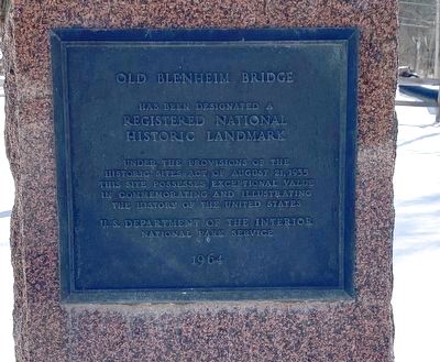
1. Old Blenheim Bridge Marker
has been designated a
Registered National
Historic Landmark
under the provisions of the
Historic Sites Act of August 21, 1935.
This site possesses exceptional value
in commemorating and illustrating
the history of the United States.
Erected 1964 by U.S. Department of the Interior
National Park Service.
Topics. This historical marker is listed in this topic list: Bridges & Viaducts.
Location. 42° 28.287′ N, 74° 26.462′ W. Marker is near North Blenheim, New York, in Schoharie County. It is at the intersection of Eastside Road and Mountain Road, on the right when traveling south on Eastside Road. Touch for map. Marker is at or near this postal address: 122 Eastside Rd, North Blenheim NY 12131, United States of America. Touch for directions.

Regionally, this marker is in Upstate New York and in the Mohawk Valley. It is also in the American Northeast, in the Mid-Atlantic, in Appalachia, and specifically in Northern Appalachia. Globally, it is in North America, the Western Hemisphere, the Western World, and the Anglosphere. Historically,
this page online
Other nearby markers. At least 8 other markers are within walking distance of this marker: The Re-Creation (a few steps from this marker); The Floods (a few steps from this marker); The Life (a few steps from this marker); The Creation (a few steps from this marker); Blenheim Bridge (within shouting distance of this marker); a different marker also named Old Blenheim Bridge (about 400 feet away, measured in a direct line); a different marker also named Blenheim Bridge (about 600 feet away); Indian Trail (approx. ¾ mile away). Touch for a list and map of all markers in North Blenheim.
Also see . . . Old Blenheim Bridge (Wikipedia). (Submitted on March 4, 2022, by Michael Herrick of Southbury, Connecticut.)
Photographed by Steve Stoessel, February 28, 2022
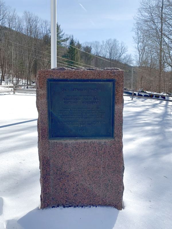
2. Old Blenheim Bridge Marker
Photographed by Steve Stoessel, February 28, 2022
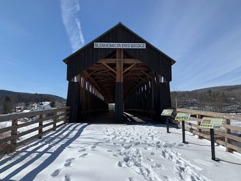
3. Old Blenheim Bridge
Photographed by Steve Stoessel, February 28, 2022
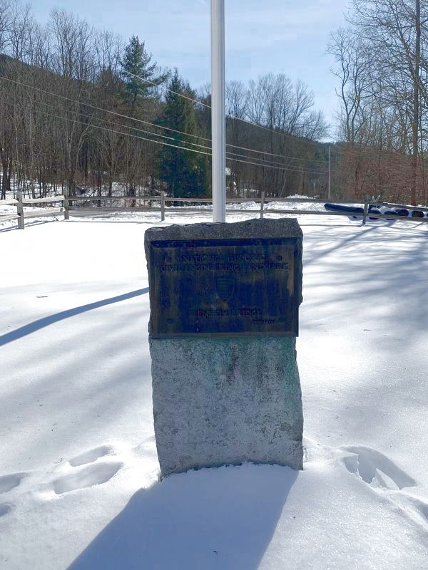
4. Old Blenheim Bridge Civil Engineering Landmark
Plaque declaring the Old Blenheim Bridge a National Historic Civil Engineering Landmark. The plaque is located in front of the bridge just to the left of the Old Blenheim Bridge marker.
Credits. This page was last revised on March 4, 2022. It was originally submitted on February 28, 2022, by Steve Stoessel of Niskayuna, New York. This page has been viewed 237 times since then and 21 times this year. Photos: 1, 2, 3, 4. submitted on February 28, 2022, by Steve Stoessel of Niskayuna, New York. • Michael Herrick was the editor who published this page.
