Near North Blenheim in Schoharie County, New York — The American Northeast (Mid-Atlantic)
The Creation
Photographed by Steve Stoessel, February 28, 2022
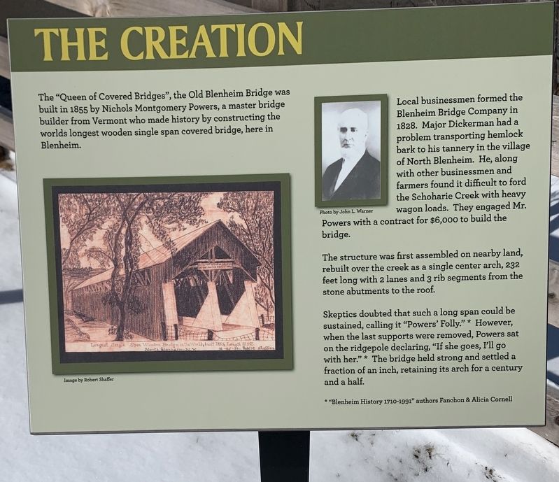
1. The Creation Marker
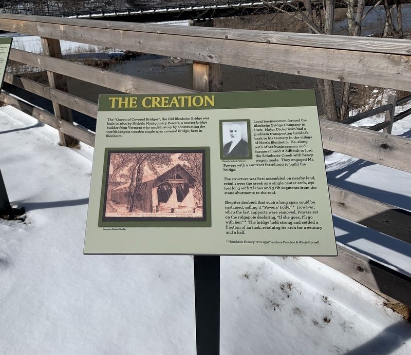
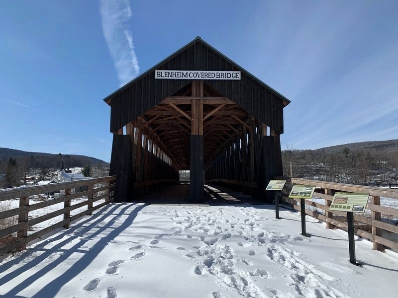
The "Queen of Covered Bridges", the Old Blenheim Bridge was built in 1855 by Nichols Montgomery Powers, a master bridge builder from Vermont who made history by constructing the world's longest wooden single span covered bridge, here in Blenheim.
Local businessmen formed the Blenheim Bridge Company in 1828. Major Dickerman had a problem transporting hemlock bark to his tannery in the village of North Blenheim. He, along with other businessmen and farmers found it difficult to ford the Schoharie Creek with heavy wagon loads. They engaged Mr. Powers with a contract for $6,000 to build the bridge.
The structure was first assembled on nearby land, rebuilt over the creek as a single center arch, 232 feet long with 2 lanes and 3 rib segments from the stone abutments to the roof.
Skeptics doubted that such a long span could be sustained, calling it "Powers' Folly.”(*) However, when the last supports were removed, Powers sat on the ridgepole declaring, "If she goes, I'll go with her.” (*) The bridge held strong and settled a fraction of an inch, retaining its arch for a century and a half.
* “Blenheim History 1710-1991”
this page online
Topics. This historical marker is listed in this topic list: Bridges & Viaducts. A significant historical year for this entry is 1855.
Location. 42° 28.295′ N, 74° 26.451′ W. Marker is near North Blenheim, New York, in Schoharie County. It is on Eastside Road near Mountain Road, on the right when traveling south. Touch for map. Marker is at or near this postal address: 122 Eastside Rd, North Blenheim NY 12131, United States of America. Touch for directions.

Regionally, this marker is in Upstate New York and in the Mohawk Valley. It is also in the American Northeast, in the Mid-Atlantic, in Appalachia, and specifically in Northern Appalachia. Globally, it is in North America, the Western Hemisphere, the Western World, and the Anglosphere. Historically, it finds itself in what was once the Haudenosaunee (Iroquois) Confederacy, New Netherland, and one of the original Thirteen Colonies.
Other nearby markers. At least 8 other markers are within walking distance of this marker: The Life (here, next to this marker); The Floods (here, next to this marker); The Re-Creation (a few steps from this
Photographed by Steve Stoessel, February 28, 2022
2. The Creation Marker
Also see . . . Old Blenheim Bridge (Wikipedia). (Submitted on March 4, 2022, by Michael Herrick of Southbury, Connecticut.)
Photographed by Steve Stoessel, February 28, 2022
3. Blenheim Covered Bridge
Credits. This page was last revised on March 4, 2022. It was originally submitted on February 28, 2022, by Steve Stoessel of Niskayuna, New York. This page has been viewed 256 times since then and 18 times this year. Photos: 1, 2, 3. submitted on February 28, 2022, by Steve Stoessel of Niskayuna, New York. • Michael Herrick was the editor who published this page.
