Near North Blenheim in Schoharie County, New York — The American Northeast (Mid-Atlantic)
The Floods
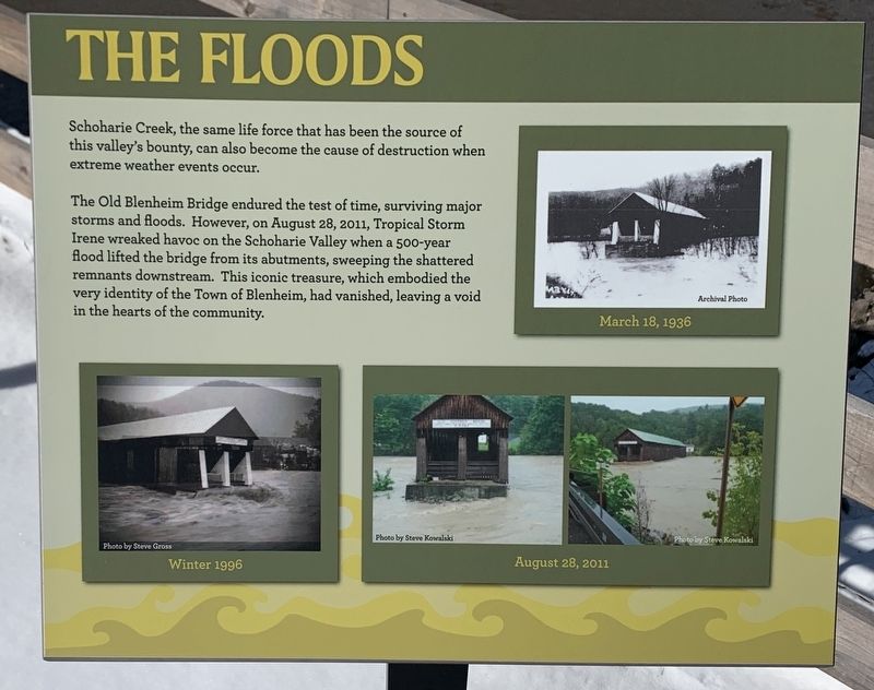
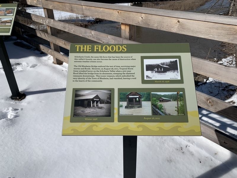
Schoharie Creek, the same life force that has been the source of this valley's bounty, can also become the cause of destruction when extreme weather events occur.
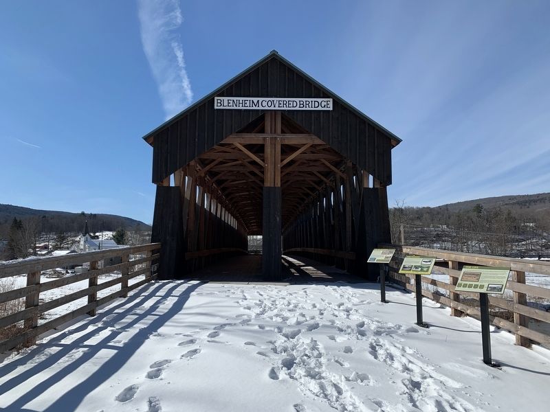
The Old Blenheim Bridge endured the test of time, surviving major storms and floods. However, on August 28, 2011, Tropical Storm Irene wreaked havoc on the Schoharie Valley when a 500-year flood lifted the bridge from its abutments, sweeping the shattered remnants downstream. This iconic treasure, which embodied the very identity of the Town of Blenheim, had vanished, leaving a void in the hearts of the community.
Archival Photos
March 18, 1936
Winter 1996
August 28, 2011
Topics. This historical marker is listed in this topic list: Bridges & Viaducts. A significant historical date for this entry is March 18, 1936.
Location. 42° 28.294′ N, 74° 26.456′ W. Marker is near North Blenheim, New York, in Schoharie County. Marker is on Eastside Road near Mountain Road, on the right when traveling south. Touch for map. Marker is at or near this postal address: 122 Eastside Rd, North Blenheim NY 12131, United States of America. Touch for directions.
Other nearby markers. At least 8 other markers are within walking distance of this marker. The Life (here, next to this marker); The Re-Creation (here, next to this marker); The Creation (here, next to this marker); Old Blenheim Bridge (a few steps from this marker); Blenheim Bridge (within shouting distance of this marker); a different marker also named Old Blenheim Bridge (about 400 feet away, measured in a direct line); a different marker also named Blenheim Bridge (about 600 feet away); Indian Trail (approx. ¾ mile away). Touch for a list and map of all markers in North Blenheim.
Also see . . . Old Blenheim Bridge (Wikipedia). (Submitted on March 4, 2022, by Michael Herrick of Southbury, Connecticut.)
Credits. This page was last revised on March 4, 2022. It was originally submitted on February 28, 2022, by Steve Stoessel of Niskayuna, New York. This page has been viewed 95 times since then and 13 times this year. Photos: 1, 2. submitted on February 28, 2022, by Steve Stoessel of Niskayuna, New York. 3. submitted on March 1, 2022, by Steve Stoessel of Niskayuna, New York. • Michael Herrick was the editor who published this page.


