Elizabethton in Carter County, Tennessee — The American South (East South Central)
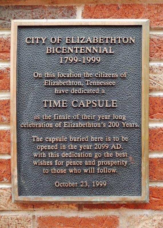
City of Elizabethton Bicentennial
1799-1999
Elizabethton, Tennessee
have dedicated a
Time Capsule
as the finale of their year long
celebration of Elizabethton’s 200 Years.
The capsule buried here is to be
opened in the year 2099 AD.
With this dedication go the best
wishes for peace and prosperity
to those who will follow.
October 23, 1999
Erected 1999 by Citizens of Elizabethton, Tennessee.
Topics and series. This historical marker is listed in this topic list: Settlements & Settlers. In addition, it is included in the Time Capsules series list. A significant historical year for this entry is 1799.
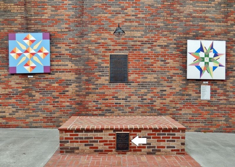
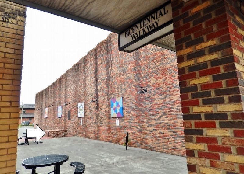
Location. 36° 20.868′ N, 82° 12.837′ W. Marker is in Elizabethton, Tennessee, in Carter County. Marker can be reached from East Elk Avenue east of South Sycamore Street, on the right when traveling east. Marker and time capsule are located about 20 yards south of East Elk Avenue along the Bicentennial Walkway. Touch for map. Marker is at or near this postal address: 610 East Elk Avenue, Elizabethton TN 37643, United States of America. Touch for directions.
Other nearby markers. At least 8 other markers are within walking distance of this marker. Samuel Tipton (a few steps from this marker); Betsy Walkway (a few steps from this marker); Burgie Drug (a few steps from this marker); Barnes Boring Hardware (within shouting distance of this marker); Old Post Office (within shouting distance of this marker); First Court West of the Alleghenies (about 500 feet away, measured in a direct line); Public Library (about 500 feet away); Covered Bridge (about 600 feet away). Touch for a list and map of all markers in Elizabethton.
Also see . . . Elizabethton, Tennessee.
Previously named "Tiptonville" in honor of Samuel Tipton while within the State of Franklin, the town was as the county seat of the newly minted Tennessee county of Carter was, likewise, renamed as "Elizabethton" by Landon Carter and David McNabb (who were members of a state committee to officially name the area that was appointed by the Tennessee General Assembly in 1796 to locate and name the county seat of Carter County) after their wives, Elizabeth MacLin Carter and Elizabeth McNabb.(Submitted on March 1, 2022, by Cosmos Mariner of Cape Canaveral, Florida.)
Credits. This page was last revised on March 1, 2022. It was originally submitted on March 1, 2022, by Cosmos Mariner of Cape Canaveral, Florida. This page has been viewed 182 times since then and 31 times this year. Photos: 1, 2, 3. submitted on March 1, 2022, by Cosmos Mariner of Cape Canaveral, Florida.


