Waldwick in Bergen County, New Jersey — The American Northeast (Mid-Atlantic)
Waldwick Tower
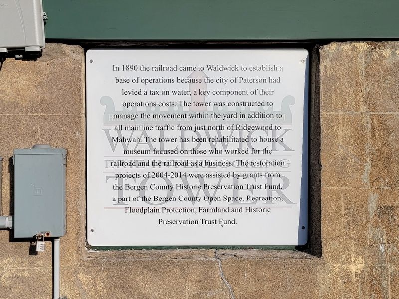
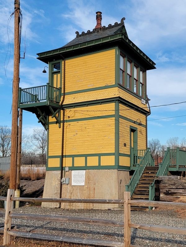
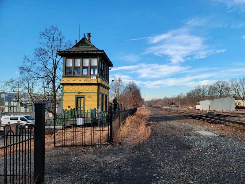
In 1890 the railroad came to Waldwick to establish a base of operations because the city of Paterson had levied a tax on water, a key component of their operations costs. The tower was constructed to manage the movement within the yard in addition to all mainline traffic from just north of Ridgewood to Mahwah. The tower has been rehabilitated to house a museum focused on those who worked for the railroad and the railroad as a business. The restoration projects of 2004-2014 were assisted by grants from the Bergen County Historic Preservation Trust Fund, a part of the Bergen County Open Space, Recreation, Floodplain Protection, Farmland and Historic Preservation Trust Fund.
Topics. This historical marker is listed in this topic list: Railroads & Streetcars. A significant historical year for this entry is 1890.
Location. 41° 0.915′ N, 74° 7.449′ W. Marker is in Waldwick, New Jersey, in Bergen County. Marker is at the intersection of Bohnert Place and Zazzette Street, on the left when traveling east on Bohnert Place. Touch for map. Marker is at or near this postal address: 3 Bohnert Place, Waldwick NJ 07463, United States of America. Touch for directions.
Other nearby markers. At least 8 other markers are within walking distance of this marker. Harvey Springstead (here, next to this marker); Waldwick Erie Interlocking Tower (a few steps from this marker); Waldwick Railroad Station (approx. ¼ mile away); North Gate (approx. 0.6 miles away); Well-House (approx. 0.6 miles away); Front Entrance (approx. 0.7 miles away); The Hermitage (approx. 0.7 miles away); The “Bricks” (approx. 0.7 miles away). Touch for a list and map of all markers in Waldwick.
Also see . . . All Aboard Waldwick - Waldwick Historical Society. (Submitted on March 2, 2022, by Michael Herrick of Southbury, Connecticut.)
Credits. This page was last revised on March 2, 2022. It was originally submitted on March 2, 2022, by Michael Herrick of Southbury, Connecticut. This page has been viewed 147 times since then and 17 times this year. Photos: 1, 2, 3, 4. submitted on March 2, 2022, by Michael Herrick of Southbury, Connecticut.


