Emmitsburg in Frederick County, Maryland — The American Northeast (Mid-Atlantic)
Army of the Potomac
July 1 1863
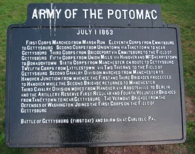
Photographed by Craig Swain, May 23, 2009
1. Army of the Potomac Tablet
Battle of Gettysburg (First Day) and skirmish at Carlisle Pa.
Erected by Gettysburg National Military Park Commission.
Topics. This historical marker is listed in this topic list: War, US Civil.
Location. 39° 42.131′ N, 77° 19.666′ W.
this page online

Regionally, this marker is in the Washington Metropolitan Area and in Central Maryland. It is also in the American Mid-Atlantic. Globally, it is in North America, the Western Hemisphere, the Western World, and the Anglosphere. Historically, it finds itself in what was once one of the original Thirteen Colonies and also the Antebellum South.
Other nearby markers. At least 8 other markers are within walking distance of this marker: A different marker also named Army of the Potomac (here, next to this marker); A Building With Many Lives (within shouting distance of this marker); The Emmitsburg Railroad (within shouting distance of this marker); The Carriage House Inn (about 300 feet away, measured in a direct line); Emmitsburg High School (about 300 feet away); Volunteers Mural (about 300 feet away); 137 South Seton Avenue
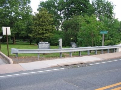
Photographed by Craig Swain, May 23, 2009
2. Itinerary Markers at Emmitsburg
Other markers no longer nearby. Emmitsburg Sisters of Charity (was within shouting distance of this marker but has been confirmed missing); Mount Saint Mary's College (was within shouting distance of this marker but has been confirmed missing).
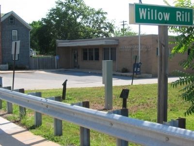
Photographed by Craig Swain
3. Missing War Department Tablets
The tablets were removed for maintenance and repairs in 2008.
Credits. This page was last revised on June 16, 2016. It was originally submitted on May 24, 2009, by Craig Swain of Leesburg, Virginia. This page has been viewed 1,499 times since then and 32 times this year. Photos: 1, 2. submitted on May 24, 2009, by Craig Swain of Leesburg, Virginia. 3. submitted on July 27, 2008, by Craig Swain of Leesburg, Virginia.
