Gloucester in Essex County, Massachusetts — The American Northeast (New England)
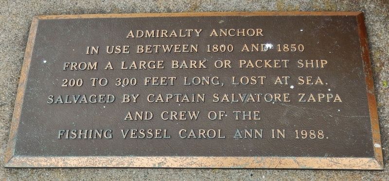
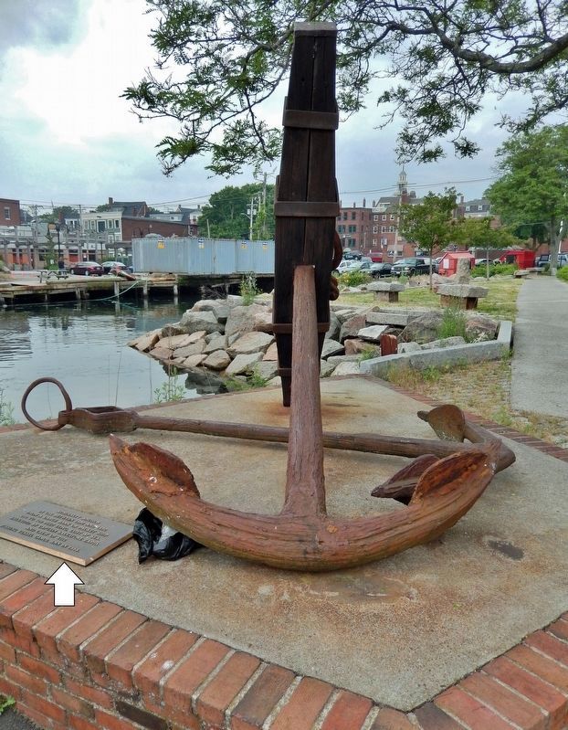
Admiralty Anchor
In use between 1800 and 1850
From a large bark or packet ship 200 to 300 feet long, lost at sea. Salvaged by Captain Salvatore Zappa and crew of the fishing vessel Carol Ann in 1988.
Topics and series. This historical marker is listed in this topic list: Waterways & Vessels. In addition, it is included in the Lost at Sea series list. A significant historical year for this entry is 1800.
Location. 42° 36.685′ N, 70° 39.812′ W. Marker is in Gloucester, Massachusetts, in Essex County. Marker can be reached from the intersection of Rogers Street (Massachusetts Route 127) and Porter Street, on the right when traveling east. Marker and anchor are located near the southwest corner of the public parking lot at this address. Touch for map. Marker is at or near this postal address: 63 Rogers Street, Gloucester MA 01930, United States of America. Touch for directions.
Other nearby markers. At least 8 other markers are within walking distance of this marker. Cape Ann Granite (a few steps from this marker); Captain Alfred (Centennial) Johnson (within shouting distance of this marker); Captain Howard Blackburn (within shouting distance of this marker); Porter Anchor (within shouting distance of this marker); Salting Fish (about 300 feet away, measured in a direct line); Rocky Neck (about 500 feet away); Charles Heberle (about 600 feet away); Reverend John Rogers (about 700 feet away). Touch for a list and map of all markers in Gloucester.
Also see . . . Admiralty Anchor.
The Admiralty Pattern anchor, or simply "Admiralty", also known as a "Fisherman", consists of a central shank with a ring or shackle for attaching the rode (the rope, chain, or cable connecting the ship and the anchor). At the other end of the shank there are two arms, carrying the flukes, while the stock is mounted to the shackle end, at ninety degrees to the arms. When the anchor lands on the bottom, it will generally fall over with the arms parallel to the seabed. As a strain comes onto the rope, the stock will dig into the bottom, canting the anchor until one of the flukes catches and digs into the bottom.(Submitted on March 5, 2022, by Cosmos Mariner of Cape Canaveral, Florida.)
Credits. This page was last revised on March 5, 2022. It was originally submitted on March 4, 2022, by Cosmos Mariner of Cape Canaveral, Florida. This page has been viewed 439 times since then and 78 times this year. Photos: 1, 2, 3. submitted on March 4, 2022, by Cosmos Mariner of Cape Canaveral, Florida.


