Twin Bridges in Madison County, Montana — The American West (Mountains)
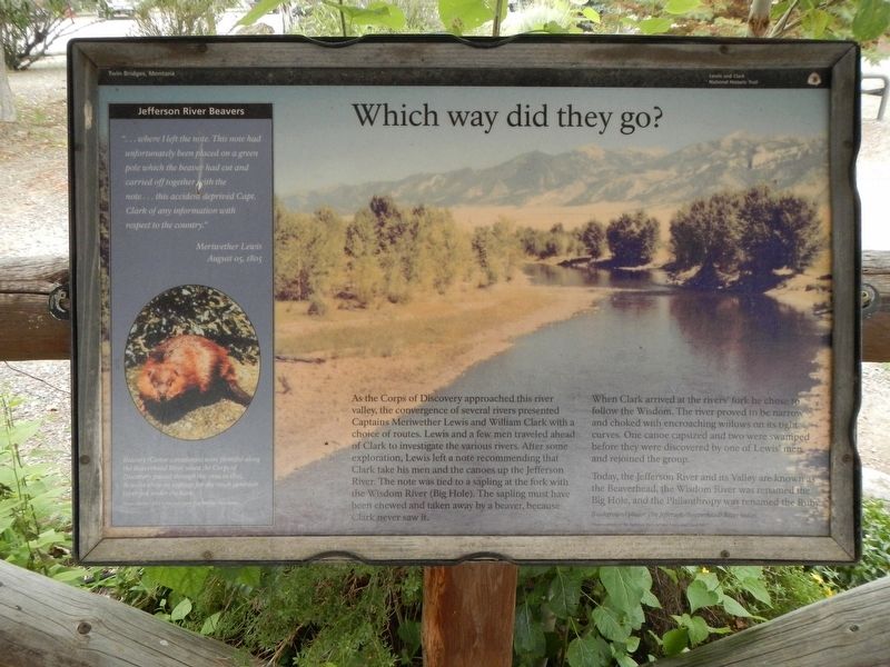
Which way did they go?
Inscription.
As the Corps of Discovery approached this river valley, the convergence of several rivers presented Captains Meriwether Lewis and William Clark with a choice of routes. Lewis and a few men traveled ahead of Clark to investigate the various rivers. After some exploration, Lewis left a note recommending that Clark take his men and the canoes up the Jefferson River. The note was tied to a sapling at the fork with Wisdom River (Big Hole). The sapling must have been chewed and taken away by a beaver, because Clark never saw it.
When Clark arrived at the rivers' fork he chose to follow the Wisdom. The river proved to be narrow and choked with encroaching willows on its tight curves. One canoe capsized and two were swamped before they before they were discovered by one of Lewis' men and rejoined the group.
Today, the Jefferson River and Valley are known as the Beaverhead, the Wisdom River was renamed the Big Hole, and the Philanthropy was renanded the Ruby.
(side-bar on left;)
Jefferson River Beavers
... where I left the note. This note had unfortunately been placed on a green pole which the beaver had cut and carried off together with the note...this accident deprived Capt. Clark of any information with respect to the country." - Meriwether Lewis, August 05, 1805
Beavers (Castor canadensis) were plentiful along the Beaverhead River when the Corps of Discovery passed through this area in 1805. Beaver chew on saplings for the sweet cambium layer just under the bark.
Erected by Lewis and Clark National Historic Trail.
Topics and series. This historical marker is listed in these topic lists: Exploration • Waterways & Vessels. In addition, it is included in the Lewis & Clark Expedition series list. A significant historical date for this entry is August 5, 1805.
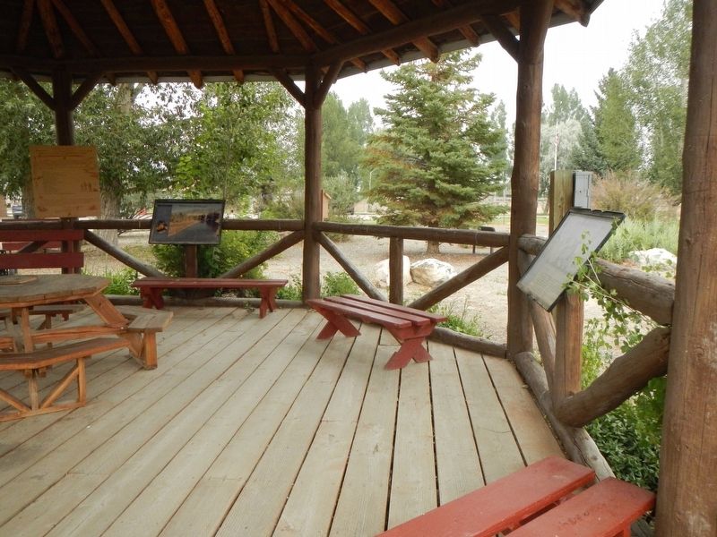
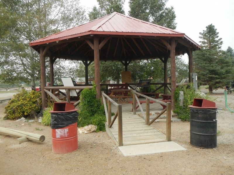
Location. 45° 32.607′ N, 112° 20.014′ W. Marker is in Twin Bridges, Montana, in Madison County. Marker can be reached from the intersection of Fairgrounds Loop Road and State Highway 41. The marker is in the the gazebo at the Madison County Fairgrounds. Touch for map. Marker is at or near this postal address: 2 Fairgrounds Loop Road, Twin Bridges MT 59754, United States of America. Touch for directions.
Other nearby markers. At least 8 other markers are within walking distance of this marker. Recognizing her people's land (here, next to this marker); Jefferson River - Beaverhead River (here, next to this marker); "...a handsome little river..." (here, next to this marker); Sacajawea, "Pomp" and Seaman (a few steps from this marker); Pavilion (within shouting distance of this marker); Madison County Fairgrounds (within shouting distance of this marker); Square Building (within shouting distance of this marker); Road Agent Trail (about 700 feet away, measured in a direct line). Touch for a list and map of all markers in Twin Bridges.
Credits. This page was last revised on March 6, 2022. It was originally submitted on March 6, 2022, by Barry Swackhamer of Brentwood, California. This page has been viewed 95 times since then and 17 times this year. Photos: 1, 2, 3. submitted on March 6, 2022, by Barry Swackhamer of Brentwood, California.


