Near Fredericksburg in Spotsylvania County, Virginia — The American South (Mid-Atlantic)
Confederate Earthworks
The Battle of Fredericksburg
— Fredericksburg, Virginia —
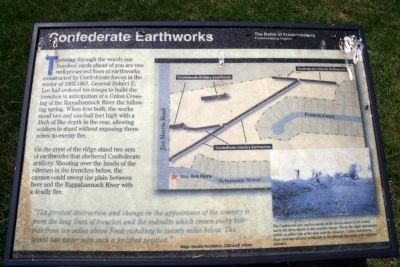
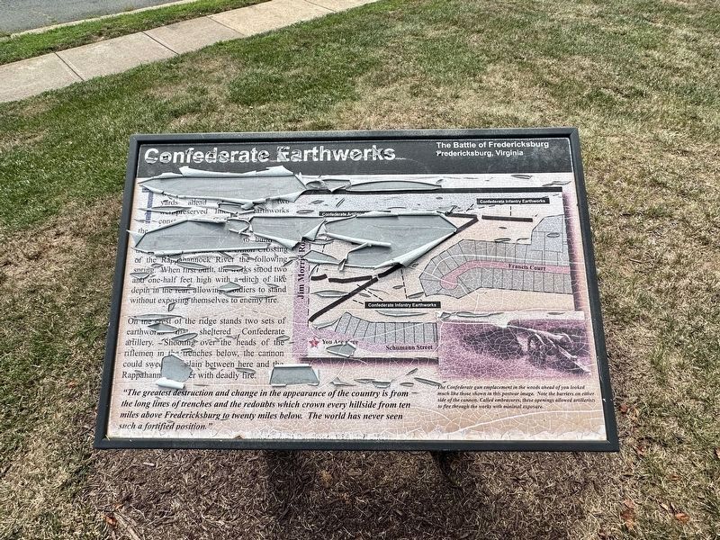
On the crest of the ridge stand two sets of earthworks that sheltered Confederate artillery. Shooting over the heads of the riflemen in the trenches below, the cannon could sweep the plain between here and the Rappahannock River with a deadly fire.
“The greatest destruction and change in the appearance of the country is from the long lines of trenches and the redoubts which crown every hillside from ten miles above Fredericksburg to twenty miles below. The world has never seen such a fortified position.” Major Sandie Pendleton, CSA staff officer
Topics. This historical marker is listed in this topic list: War, US Civil.
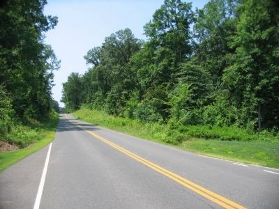
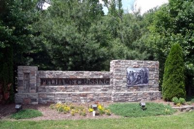
Location. 38° 14.474′ N, 77° 25.28′ W. Marker has been damaged. Marker is near Fredericksburg, Virginia, in Spotsylvania County . Marker is at the intersection of Jim Morris Road and Schumann Street, on the right when traveling south on Jim Morris Road. This marker is located at the entrance to the Pelham’s Crossing subdivision. Touch for map. Marker is at or near this postal address: 2180 Schumann St, Fredericksburg VA 22408, United States of America. Touch for directions.
Other nearby markers. At least 8 other markers are within walking distance of this location. The Gallant Pelham (here, next to this marker); The Winter Line (a few steps from this marker); Colonial Post Office (approx. 0.6 miles away); Fredericksburg Campaign (approx. ¾ mile away); a different marker also named The Gallant Pelham (approx. 0.8 miles away); The Battle of Fredericksburg (approx. 0.8 miles away); Stuart and Pelham (approx. 0.8 miles away); a different marker also named The Gallant Pelham (approx. 0.8 miles away). Touch for a list and map of all markers in Fredericksburg.
More about this marker. On the right is a map of the immediate area showing the location of Confederate earthworks. On the lower right is a postwar photograph of similar entrenchments. It carries the caption, "The Confederate gun emplacements in the woods ahead of you looked much like those shown in this postwar image. Notice the slight depressions visible on either side of the man with the telescope. Called embrasures, these openings allowed artillerists to fire through the works with minimal exposure."
Also see . . .
Fredericksburg & Spotsylvania National Military Park. National Park Service (Submitted on May 24, 2009.)
Credits. This page was last revised on August 14, 2023. It was originally submitted on May 24, 2009, by Bernard Fisher of Richmond, Virginia. This page has been viewed 1,568 times since then and 27 times this year. Photos: 1. submitted on May 24, 2009, by Bernard Fisher of Richmond, Virginia. 2. submitted on August 14, 2023, by J.T. Lambrou of New Boston, Michigan. 3, 4. submitted on May 24, 2009, by Bernard Fisher of Richmond, Virginia. 5. submitted on August 19, 2009, by Craig Swain of Leesburg, Virginia. 6. submitted on May 24, 2009, by Bernard Fisher of Richmond, Virginia.
