
Fredericksburg in Spotsylvania County, Virginia — The American South (Mid-Atlantic)
The Gallant Pelham
The Battle of Fredericksburg
Photographed by Bernard Fisher, May 23, 2009
1. The Gallant Pelham Marker
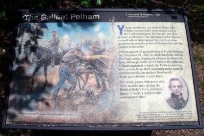
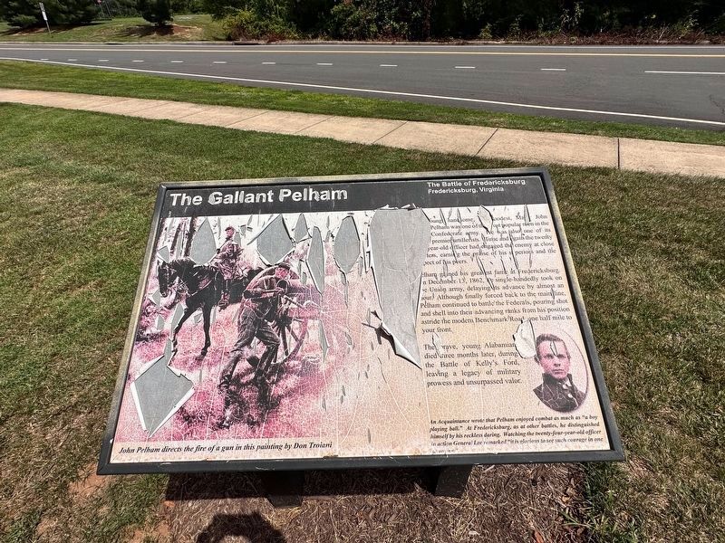
Pelham gained his greatest fame at Fredericksburg. On December 13, 1862, he single-handedly took on the Union army, delaying its advance by almost an hour. Although finally forced back to the main line, Pelham continued to battle the Federals, pouring shot and shell into their advancing ranks from his postion astride the modern Benchmark Road, one half mile to your front.
The brave, young Alabamian died three months later, during the Battle of Kelly’s Ford, leaving a legacy of military prowess and unsurpassed valor.
Topics. This historical marker is listed in this topic list: War, US Civil. A significant historical date for this entry is December 13, 1862.
Location. 38° 14.478′ N, 77° 25.277′ W. Marker has been damaged. Marker is in Fredericksburg, Virginia, in Spotsylvania County. It is at the intersection of Jim Morris Road and Schumann
this page online

Regionally, this marker is in the Washington Metropolitan Area, in Northern Virginia, and in the Piedmont. It is also in the American South, specifically in the Upper South, in the Mid-Atlantic, and on the Eastern Seaboard. Globally, it is in the North Atlantic Region, North America, the Western Hemisphere, the Western World, and the Anglosphere. Historically, it finds itself in what was once the territory of the Mississippian Culture, one of the original Thirteen Colonies, one of the Confederate States of America, and the Antebellum South.
Other nearby markers. At least 8 other markers are within walking distance of this location: Confederate Earthworks (here, next to this marker); The Winter Line (a few steps from this marker); Colonial Post Office (approx. 0.6 miles away); Fredericksburg Campaign (approx. ¾ mile away); a different marker also named The Gallant Pelham
Photographed by J.T. Lambrou, July 27, 2023
2. The Gallant Pelham Marker
The marker has been severely damaged since the original submission in 2009.
More about this marker. On the left of the panel is an image with the caption, “John Pelham directs the fire of a gun in this painting by artist Don Troiani.” On the right is a photo of Pelham with the caption, "An acquaintance wrote that Pelham enjoyed combat as much as “a boy playing ball.” At Fredericksburg, as at other battles, he distinguished himself by his reckless daring. Watching the twenty-four-year-old officer in action, General Lee remarked; “It is glorious to see such courage in one so young!”"
Also see . . .
1. Fredericksburg & Spotsylvania National Military Park. (Submitted on May 24, 2009.)
2. John Pelham (officer). Wikipedia (Submitted on May 24, 2009.)
Photographed by Bernard Fisher, May 23, 2009
3. Pelham's Crossing Markers
Photographed by Gilbert Studios, Philadelphia, Pa, 1858
4. John Pelham
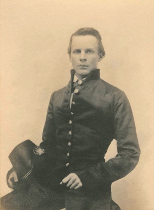
West Point photo 1858. Public Domain
Photographed by Bernard Fisher, May 23, 2009
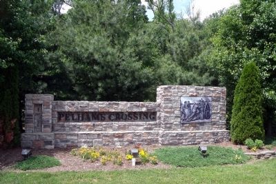
5. Pelham's Crossing subdivision
Photographed by Evan Dwyer, November 9, 2024
6. The Gallant Pelham Marker
Marker is completely illegible, all text is gone except for the title.
Credits. This page was last revised on August 12, 2025. It was originally submitted on May 24, 2009, by Bernard Fisher of Richmond, Virginia. This page has been viewed 2,274 times since then and 21 times this year. Photos: 1. submitted on May 24, 2009, by Bernard Fisher of Richmond, Virginia. 2. submitted on August 14, 2023, by J.T. Lambrou of New Boston, Michigan. 3. submitted on May 24, 2009, by Bernard Fisher of Richmond, Virginia. 4. submitted on August 14, 2023. 5. submitted on May 24, 2009, by Bernard Fisher of Richmond, Virginia. 6. submitted on August 9, 2025, by Evan Dwyer of Richmond, Virginia.
