
Fostoria in Seneca County, Ohio — The American Midwest (Great Lakes)
Fostoria
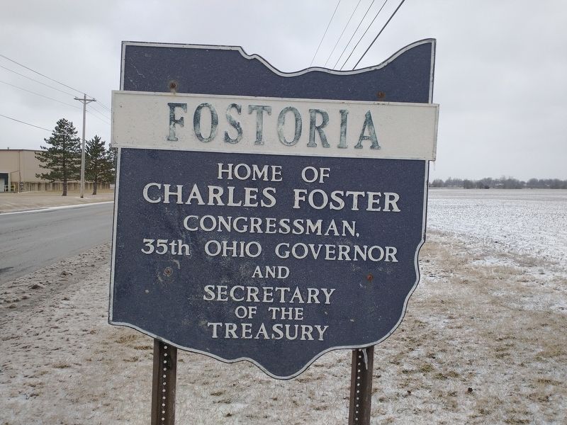
Photographed by Craig Doda, February 25, 2022
1. Fostoria Marker
Erected by Ohio Department Of Highways-The Ohio Historical Society-Earl Ash.
Topics and series. This historical marker is listed in this topic list: Government & Politics. In addition, it is included in the Ohio Historical Society / The Ohio History Connection series list.
Location. 41° 8.058′ N, 83° 24.09′ W. Marker is in Fostoria, Ohio, in Seneca County. It is at the intersection of Fstoria-Carey Road (U.S. 23) and North Corporate Drive West, on the right when traveling north on Fstoria-Carey Road. Touch for map. Marker is at or near this postal address: 615 N Corporate Dr W, Fostoria OH 44830, United States of America. Touch for directions.

Regionally, this marker is in Ohio’s Till Plains. It is also in the American Midwest and in the Corn Belt. Globally, it is in North America, the Western Hemisphere, the Western World, and the Anglosphere. Historically, it finds itself in what was once the Haudenosaunee (Iroquois) Confederacy, the territory of the Mississippian
this page online
Other nearby markers. At least 8 other markers are within 3 miles of this marker, measured as the crow flies: Glass Heritage Gallery (approx. 1.4 miles away); Lake Mosier (approx. 1.6 miles away); Home Site of the Foster Family (approx. 1.7 miles away); Gingko Tree (approx. 1.7 miles away); Lake Daugherty (approx. 1.8 miles away); St. Wendelin Parish's Cross (approx. 1.9 miles away); Risdon Square (approx. 2.4 miles away); Veterans Memorial (approx. 2½ miles away). Touch for a list and map of all markers in Fostoria.

Photographed by Craig Doda, February 25, 2022
2. Fostoria Marker
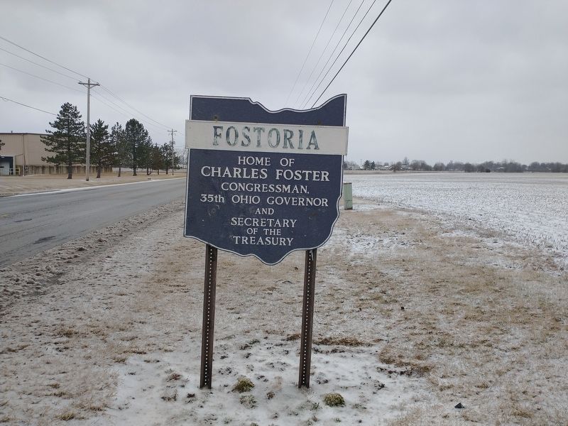
Photographed by Craig Doda, February 25, 2022
3. Fostoria Marker
Credits. This page was last revised on March 16, 2022. It was originally submitted on March 6, 2022, by Craig Doda of Napoleon, Ohio. This page has been viewed 260 times since then and 16 times this year. Photos: 1, 2, 3. submitted on March 6, 2022, by Craig Doda of Napoleon, Ohio. • Devry Becker Jones was the editor who published this page.
