Chattanooga in Hamilton County, Tennessee — The American South (East South Central)
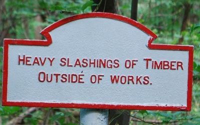
Heavy Slashings of Timber
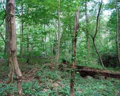
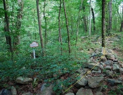
Confederate Works/ Rifle Pits
outside of works.
Topics. This historical marker is listed in this topic list: War, US Civil.
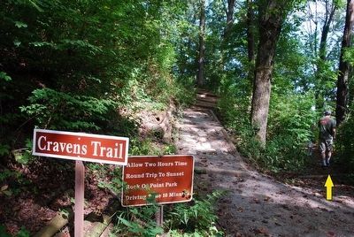
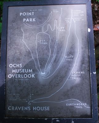
Location. 35° 0.81′ N, 85° 20.797′ W. Marker is in Chattanooga, Tennessee, in Hamilton County. From Cravens House take the Cravens Trail. At the first fork in the trail, take a right on the Earthworks/ Rifle Pits Trail. Path will lead directly to the marker. Touch for map. Marker is in this post office area: Chattanooga TN 37409, United States of America. Touch for directions.
Other nearby markers. At least 8 other markers are within walking distance of this marker. Union Occupation of the Summit (approx. 0.2 miles away); 111th Pennsylvania Infantry (approx. 0.2 miles away); Lookout Mountain Trails (approx. 0.2 miles away); Cobham's Brigade (approx. 0.2 miles away); Lookout Valley and Browns Ferry (approx. 0.2 miles away); Point Hotel (approx. 0.2 miles away); Tennessee River and Moccasin Bend (approx. 0.2 miles away); 29th Pennsylvania Infantry (approx. 0.2 miles away).
Also see . . .
1. Sunset Roack- Cravens House Loop Trail. (Submitted on August 8, 2015.)
2. Chickamauga and Chattanooga National Military Park. National Park Service (Submitted on August 9, 2015.)
Credits. This page was last revised on March 9, 2022. It was originally submitted on August 8, 2015, by Brandon Fletcher of Chattanooga, Tennessee. This page has been viewed 821 times since then and 74 times this year. Last updated on March 8, 2022, by Bradley Owen of Morgantown, West Virginia. Photos: 1, 2, 3, 4, 5. submitted on August 8, 2015, by Brandon Fletcher of Chattanooga, Tennessee. • Mark Hilton was the editor who published this page.
