Ossining in Westchester County, New York — The American Northeast (Mid-Atlantic)
The Double Arch / El Doble Arco
Ossining, New York
— The Museum in the Streets© —

Photographed By Devry Becker Jones (CC0), March 5, 2022
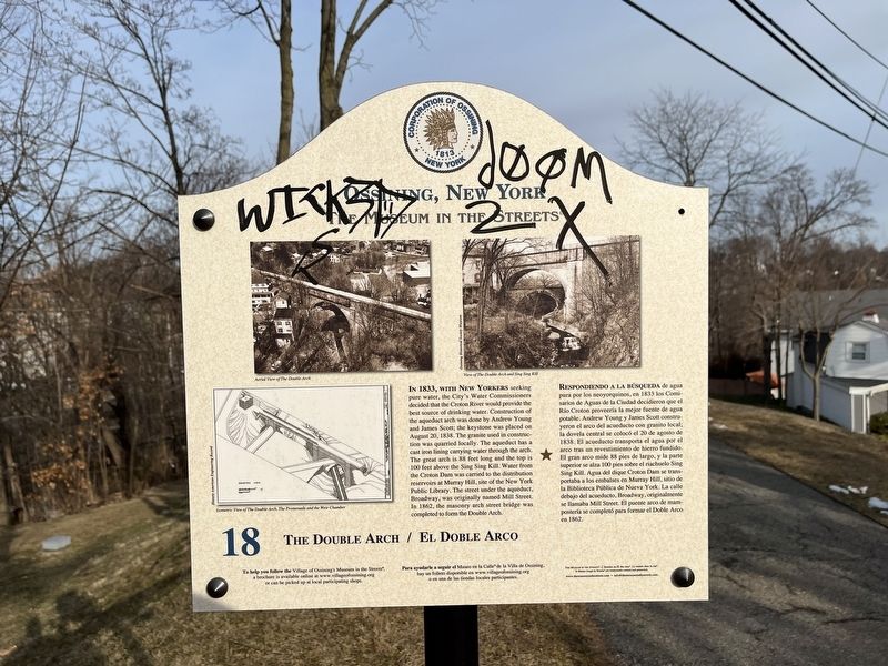
1. The Double Arch / El Doble Arco Marker
Unfortunately, the marker has been defaced.
The Double Arch
In 1833, with New Yorkers seeking pure water, the City's Water Commissioners decided that the Croton River would provide the best source of drinking water. Construction of the aqueduct arch was done by Andrew Young and James Scott; the keystone was placed on August 20, 1838. The granite used in construction was quarried locally. The aqueduct has a cast iron lining carrying water though the arch. The great arch is 88 feet long and the top is 100 feet above the Sing Sing Kill. Water from the Croton Dam was carried to the distribution reservoirs at Murray Hill, site of the New York Public Library. The street under the aqueduct, Broadway, was originally named Mill Street. In 1862, the masonry arch street bridge was completed to form the Double Arch.
El Doble Arco
Respondiendo a la búsqueda de agua pua por los neoyorquinos, en 1833 los Comisarios de Aguas de la Ciduad decidieron que el Río Croton proveería la major fuente de agua potable. Andrew Young y James Scott construyeron el arco del acueducto con granito local; la dovela central se colocó el 20 de agosto de 1838. El acuaducto transporta el agua por el arco tras un revestimiento de hierro fundido. El gran arco mide 88 pies de largo, y la parte superior se alza 100 pies sobre el riachuelo Sing Sing Kill. Agua del dique Croton Dam se transportaba a los embalses en Murray Hill, sitio de la Biblioteca Pública de Nueva York. La calle debajo del acueducto, Broadway, originalmente se llamaba Mill Street. El puente arco de mampostería se completó para formar el Doble Arco en 1862.
Erected by The Museum in the Streets©. (Marker Number 18.)
Topics and series. This historical marker is listed in these topic lists: Architecture • Natural Resources • Waterways & Vessels. In addition, it is included in the The Museum in the Streets®: Ossining, New York series list. A significant historical date for this entry is August 20, 1838.
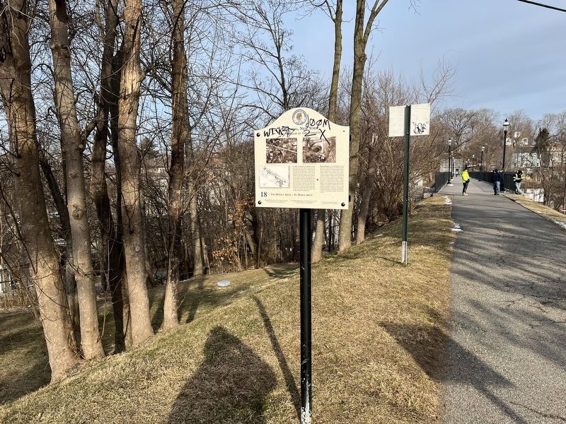
Location. 41° 9.741′ N, 73° 51.768′ W. Marker has been reported damaged. Marker is in Ossining, New York, in Westchester County. Marker can be reached from Broadway just west of Leonard Street, on the left when traveling west. Touch for map. Marker is at or near this postal address: 25 Leonard St, Ossining NY 10562, United States of America. Touch for directions.
Other nearby markers. At least 8 other markers are within walking distance of this location. The Old Croton Aqueduct Promenade / El Paseo Marítimo del acueducto Old Croton (about 300 feet away, measured in a direct line); The Old Croton Aqueduct (about
Credits. This page was last revised on March 8, 2022. It was originally submitted on March 8, 2022, by Devry Becker Jones of Washington, District of Columbia. This page has been viewed 193 times since then and 26 times this year. Photos: 1, 2. submitted on March 8, 2022, by Devry Becker Jones of Washington, District of Columbia.
