Indianola in Calhoun County, Texas — The American South (West South Central)
Powder Horn
Indianola
Photographed by James Hulse, August 30, 2021
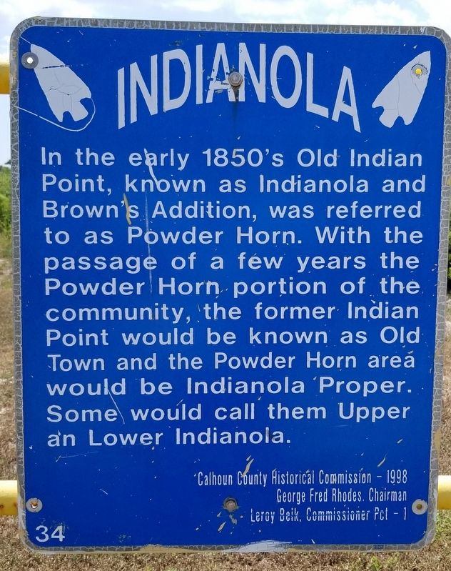
1. Powder Horn Marker
Erected 1998 by Calhoun County Historical Commission - George Fred Rhodes, Chairman, Leroy Belk, Commissioner Pct. (Marker Number 34.)
Topics. This historical marker is listed in this topic list: Settlements & Settlers.
Location. 28° 32.743′ N, 96° 31.244′ W. Marker is in Indianola, Texas, in Calhoun County. It is on Ocean Drive one mile north of State Highway 316, on the left when traveling north. The marker is located at a small roadside pullout. Touch for map. Marker is in this post office area: Port Lavaca TX 77979, United States of America. Touch for directions.

Regionally, this marker is in the American South and on the Gulf Coast. Globally, it is in North America, a Gulf of Mexico state, the Western Hemisphere, the Western
this page online
Other nearby markers. At least 8 other markers are within walking distance of this marker: Four Wharves (here, next to this marker); Bilingual Community (here, next to this marker); U.S. Army Depot (here, next to this marker); The Trade Routes (here, next to this marker); The Plan (here, next to this marker); Angelina Eberly (here, next to this marker); An Adequate Supply of Potable Water (here, next to this marker); The Merchants of Indian Point (here, next to this marker). Touch for a list and map of all markers in Indianola.
Also see . . . Indianola, TX. (Submitted on March 10, 2022, by James Hulse of Medina, Texas.)
Photographed by James Hulse, August 30, 2021
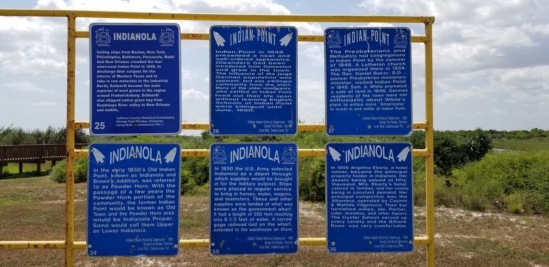
2. The Powder Horn Marker is the marker on the bottom left row of the markers
Photographed by James Hulse, August 30, 2021
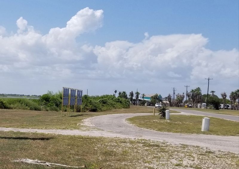
3. The view of the markers from the street
Credits. This page was last revised on March 10, 2022. It was originally submitted on March 10, 2022, by James Hulse of Medina, Texas. This page has been viewed 232 times since then and 25 times this year. Photos: 1, 2, 3. submitted on March 10, 2022, by James Hulse of Medina, Texas.
