Wytheville in Wythe County, Virginia — The American South (Mid-Atlantic)
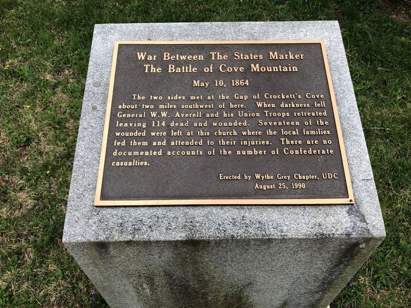
War Between The States Marker
The Battle of Cove Mountain
— May 10, 1864 —
Inscription.
The two sides met at the Gap of Crockett's Cove about two miles southwest of here. When darkness fell General W.W. Averell and his Union Troops retreated leaving 114 dead and wounded. Seventeen of the wounded were left at this church where the local families fed them and attended to their injuries. There are no documented accounts of the number of Confederate casualties.
Erected by Wythe Grey Chapter, UDC
August 25, 1990
Erected 1990 by Wythe Grey Chapter, UDC.
Topics. This historical marker is listed in these topic lists: Churches & Religion • War, US Civil. A significant historical date for this entry is May 10, 1864.
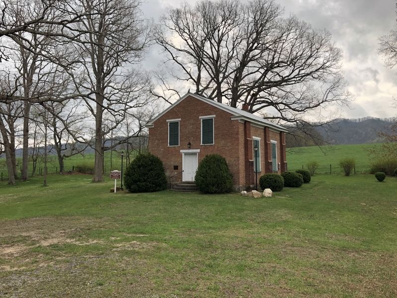
Location. 37° 1.567′ N, 81° 2.24′ W. Marker is in Wytheville, Virginia, in Wythe County. Marker can be reached from Crockett's Cove Road (Virginia Route 600) 2½ miles east of Cove Road (Virginia Route 603), on the right when traveling east. Marker is located behind Crockett's Cove Presbyterian Church. Touch for map. Marker is at or near this postal address: 1357 Crockett's Cove Rd, Wytheville VA 24382, United States of America. Touch for directions.
Other nearby markers. At least 8 other markers are within 6 miles of this marker, measured as the crow flies. Crockett's Cove Presbyterian Church (within shouting distance of this marker); Crockett’s Cove (approx. 2.3 miles away); Wythe County Poorhouse Farm (approx. 3.3 miles away); Our Confederate Dead (approx. 5.3 miles away); Robert Enoch Withers (approx. 5½ miles away); Walter Crockett (approx. 5.6 miles away); The Flohr House (approx. 5.7 miles away); Historic St. John Lutheran Church (approx. 5.7 miles away). Touch for a list and map of all markers in Wytheville.
Credits. This page was last revised on March 14, 2022. It was originally submitted on March 10, 2022, by Pete Skillman of Townsend, Delaware. This page has been viewed 264 times since then and 51 times this year. Photos: 1, 2. submitted on March 10, 2022, by Pete Skillman of Townsend, Delaware. • Bernard Fisher was the editor who published this page.

