Metairie in Jefferson Parish, Louisiana — The American South (West South Central)
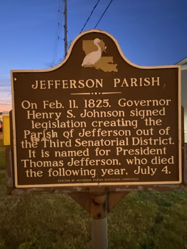
Jefferson Parish
Erected by Jefferson Parish Historical Commission.
Topics. This historical marker is listed in this topic list: Settlements & Settlers. A significant historical date for this entry is February 11, 1825.
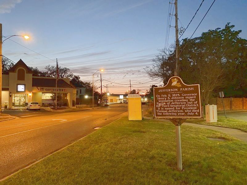
Location. 29° 59.308′ N, 90° 7.885′ W. Marker is in Metairie, Louisiana, in Jefferson Parish. Marker is on Metairie Road (Louisiana Route 611-9) west of Focis Street, on the right when traveling west. Touch for map. Marker is at or near this postal address: 701 Metairie Rd, Metairie LA 70005, United States of America. Touch for directions.
Other nearby markers. At least 8 other markers are within 2 miles of this marker, measured as the crow flies. Metairie Ridge School (approx. 0.6 miles away); City Of Metairie Ridge (approx. 0.7 miles away); Chartier Concession (approx. ¾ mile away); General John Bell Hood, CSA (approx. ¾ mile away); Metairie Cemetery (approx. 0.9 miles away); a different marker also named Metairie Cemetery (approx. one mile away); William Charles Cole Claiborne (approx. one mile away); Parish of Jefferson (approx. 1.2 miles away). Touch for a list and map of all markers in Metairie.
Credits. This page was last revised on March 13, 2022. It was originally submitted on March 11, 2022, by Darren Jefferson Clay of Duluth, Georgia. This page has been viewed 129 times since then and 8 times this year. Photos: 1, 2. submitted on March 11, 2022, by Darren Jefferson Clay of Duluth, Georgia. • Mark Hilton was the editor who published this page.

