Carey in Wyandot County, Ohio — The American Midwest (Great Lakes)
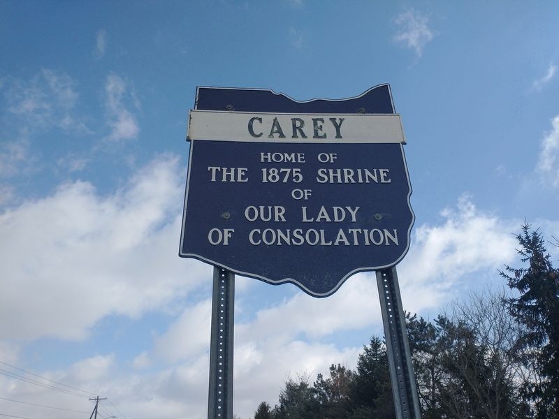
Carey
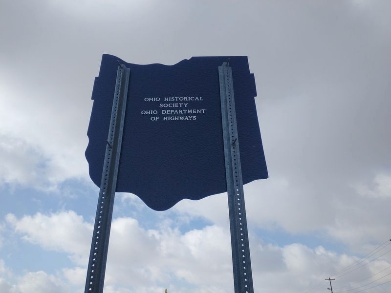
Erected by Ohio Historical Society and Ohio Department of Transportation.
Topics. This historical marker is listed in this topic list: Charity & Public Work. A significant historical year for this entry is 1875.
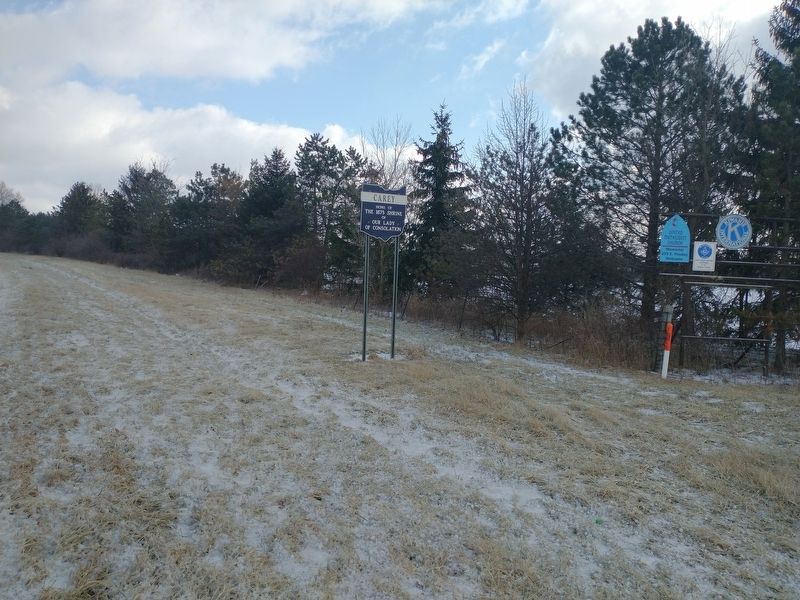
Location. 40° 56.626′ N, 83° 23.484′ W. Marker is in Carey, Ohio, in Wyandot County. Marker is on South Vance Street north of Sheriden Drive, on the right when traveling north. Touch for map. Marker is in this post office area: Carey OH 43316, United States of America. Touch for directions.
Other nearby markers. At least 8 other markers are within walking distance of this marker. To Religion Education And Patriotism (approx. half a mile away); The Original St. Edwards Church (approx. 0.6 miles away); Welcome to The Basilica and National Shrine of Our Lady of Consolation (approx. 0.6 miles away); West End Elementary School (approx. 0.6 miles away); Carey Revolutionary Soldiers Memorial (approx. 0.7 miles away); Carey Korea & Vietnam Veterans Memorial (approx. 0.7 miles away); Carey World War Memorial (approx. 0.7 miles away); Carey Veterans Memorial (approx. 0.8 miles away). Touch for a list and map of all markers in Carey.
Credits. This page was last revised on March 20, 2022. It was originally submitted on March 12, 2022, by Craig Doda of Napoleon, Ohio. This page has been viewed 116 times since then and 11 times this year. Photos: 1, 2, 3. submitted on March 12, 2022, by Craig Doda of Napoleon, Ohio. • J. Makali Bruton was the editor who published this page.


