Banquete in Nueces County, Texas — The American South (West South Central)
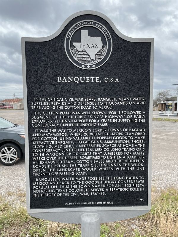
Banquete, C.S.A.
The Cotton Road was well known, for it followed a segment of the historic "King's Highway" of early explorers. Yet its vital role for 4 years in supplying the Confederacy earned it undying fame.
It was the way to Mexico's border towns of Bagdad and Matamoros, where 20,000 speculators clamored for cotton, using valuable European goods to make attractive bargains. To get guns, ammunition, shoes, clothing, medicines - necessities scarce at home - the Confederacy sent to neutral Mexico long trains of 5 to 15 wagons or ox carts that lumbered for many weeks over the desert. Sometimes to lighten a load for an exhausted team, cotton bales might be hidden in roadside brush. The traffic left signs in the wilds. Often the landscape would whiten with the lint thorned off passing loads.
Banquete's water made possible the long hauls to Mexico and back to the goods-hungry Confederate population. Thus the town named for an 1832 fiesta honoring Texas colonists served a strategic role in the history of the Civil War, 1861-65.
Erected 1964 by Texas Historical Commission. (Marker Number 299.)
Topics. This historical marker is listed in this topic list: War, US Civil.
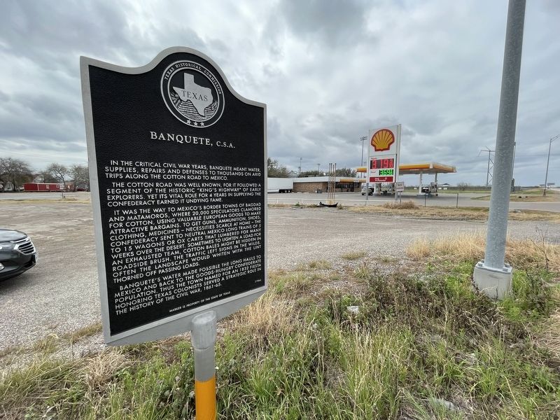
Location. 27° 48.378′ N, 97° 48.083′ W. Marker is in Banquete, Texas, in Nueces County. Marker is at the intersection of State Highway 44 and Farm to Market Road 666, on the right when traveling east on State Highway 44. Touch for map. Marker is in this post office area: Robstown TX 78380, United States of America. Touch for directions.
Other nearby markers. At least 8 other markers are within 9 miles of this marker, measured as the crow flies. Banquete Cemetery (approx. 0.8 miles away); Battle of Agua Dulce (approx. 6.4 miles away); Casa Blanca Land Grant (approx. 6.4 miles away); Nicholas Bluntzer (approx. 7.1 miles away); Robstown Labor Camp (approx. 7˝ miles away); Cattle Drives from South Texas (approx. 7.7 miles away); Stout Jackson & The Carpa Theaters (approx. 7.9 miles away); St. John Nepomucene Catholic Church (approx. 8.2 miles away). Touch for a list and map of all markers in Banquete.
Also see . . . Banquete, TX - The Handbook of Texas Online. Texas State Historical Association (TSHA) (Submitted on March 14, 2022, by Brian Anderson of Humble, Texas.)
Credits. This page was last revised on March 14, 2022. It was originally submitted on March 14, 2022, by Brian Anderson of Humble, Texas. This page has been viewed 238 times since then and 41 times this year. Photos: 1, 2. submitted on March 14, 2022, by Brian Anderson of Humble, Texas.

