Williamsport in Washington County, Maryland — The American Northeast (Mid-Atlantic)
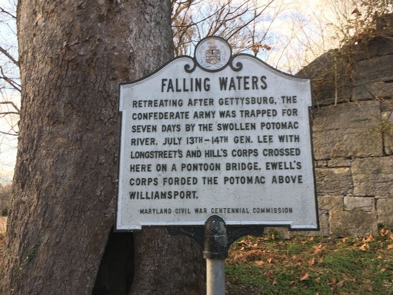
Falling Waters
Erected by Maryland Civil War Centennial Commission.
Topics. This historical marker is listed in this topic list: War, US Civil. A significant historical month for this entry is July 1863.
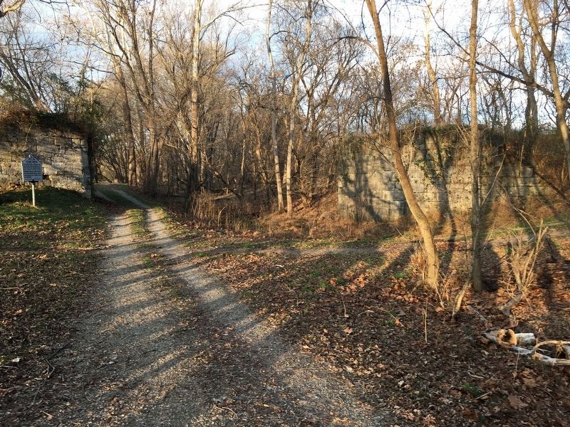
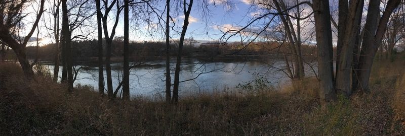
Location. 39° 33.448′ N, 77° 53.077′ W. Marker is in Williamsport, Maryland, in Washington County. Marker is along the C&O Canal Trail. Touch for map. Marker is in this post office area: Williamsport MD 21795, United States of America. Touch for directions.
Other nearby markers. At least 8 other markers are within 2 miles of this marker, measured as the crow flies. A different marker also named Falling Waters (a few steps from this marker); Battles of Falling Waters (approx. ¼ mile away in West Virginia); Battle of Hoke's Run (approx. 0.4 miles away in West Virginia); Battle of Falling Waters (approx. 1½ miles away in West Virginia); a different marker also named Battle of Falling Waters (approx. 1.6 miles away in West Virginia); a different marker also named Battle of Falling Waters (approx. 1.7 miles away); Battle of Falling Waters (MD) Preservation Project (approx. 1.7 miles away); Stumpy’s Hollow (approx. 1.9 miles away in West Virginia). Touch for a list and map of all markers in Williamsport.
Also see . . . Chesapeake & Ohio Canal National Historical Park. National Park Service (Submitted on March 16, 2022.)
Credits. This page was last revised on May 14, 2022. It was originally submitted on March 15, 2022, by Pete Skillman of Townsend, Delaware. This page has been viewed 498 times since then and 91 times this year. Photos: 1, 2, 3. submitted on March 15, 2022, by Pete Skillman of Townsend, Delaware. • Bernard Fisher was the editor who published this page.


