Upper Sandusky in Wyandot County, Ohio — The American Midwest (Great Lakes)
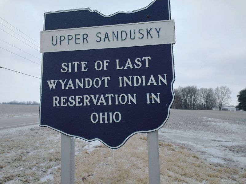
Upper Sandusky
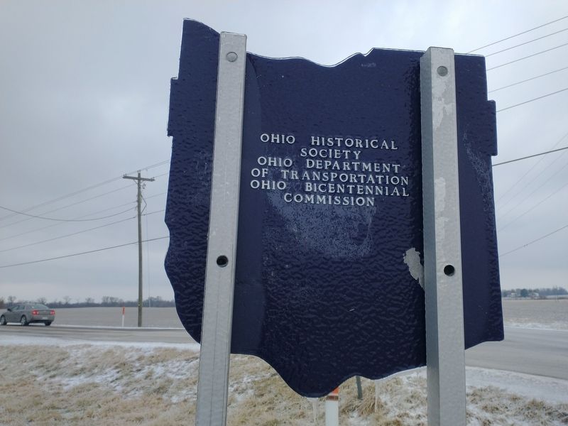
Erected by Ohio Historical Society-Ohio Department Of Transportation-Ohio Bicentennial Commission.
Topics and series. This historical marker is listed in these topic lists: Native Americans • Settlements & Settlers. In addition, it is included in the Ohio Historical Society / The Ohio History Connection series list.
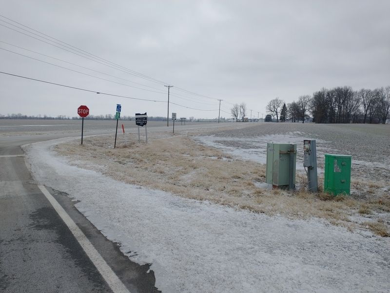
Location. 40° 48.002′ N, 83° 17.025′ W. Marker is in Upper Sandusky, Ohio, in Wyandot County. Marker is at the intersection of Main Street and Cherokee Street (County Road 119), on the right when traveling north on Main Street. Touch for map. Marker is in this post office area: Upper Sandusky OH 43351, United States of America. Touch for directions.
Other nearby markers. At least 8 other markers are within 2 miles of this marker, measured as the crow flies. Stephan Lumber Company / “The Shawshank Redemption” Woodshop (approx. 1.7 miles away); Wyandot Museum (approx. 1.8 miles away); Co. B 2nd O.V.I. Veterans Memorial (approx. 1.8 miles away); Robbins Post No. 91 G.A.R. Grove (approx. 1.9 miles away); Harrison Smith Park Veterans Memorial (approx. 1.9 miles away); Tschanen Elm (approx. 1.9 miles away); Wyandot Indian Council House (approx. 1.9 miles away); Wyandot County Courthouse & The Shawshank Redemption (approx. 1.9 miles away). Touch for a list and map of all markers in Upper Sandusky.
Additional keywords. Forced relocation
Credits. This page was last revised on March 25, 2022. It was originally submitted on March 17, 2022, by Craig Doda of Napoleon, Ohio. This page has been viewed 181 times since then and 34 times this year. Photos: 1, 2, 3. submitted on March 17, 2022, by Craig Doda of Napoleon, Ohio. • Devry Becker Jones was the editor who published this page.


