Ticonderoga in Essex County, New York — The American Northeast (Mid-Atlantic)
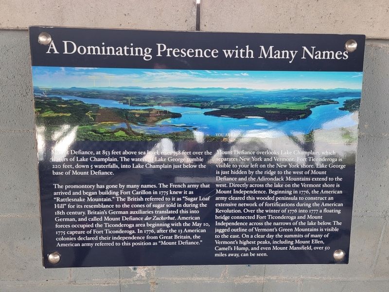
A Dominating Presence with Many Names
Mount Defiance, at 853 feet above sea level, rises 758 feet over the waters of Lake Champlain. The waters of Lake George tumble 220 feet, down 5 waterfalls, into Lake Champlain just below the base of Mount Defiance.
The promontory has gone by many names. The French army that arrived and began building Fort Carillon in 1775 knew it as “Rattlesnake Mountain.” The British referred to it as “Sugar Loaf Hill” for its resemblance to the cones of sugar sold in during the 18th century. Britain's German auxiliaries translated this into German, and called Mount Defiance der Zuckerhut. American forces occupied the Ticonderoga area beginning with the May 10, 1775 capture of Fort Ticonderoga. In 1776, after the 13 American colonies declared their independence from Great Britain, the American army referred to this position as “Mount Defiance.”
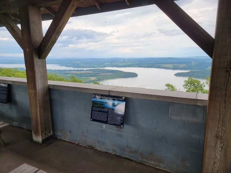
Mount Defiance overlooks Lake Champlain, which separates New York and Vermont. Fort Ticonderoga is visible to your left on the New York shore. Lake George is just hidden by the ridge to the west of Mount Defiance and the Adirondack Mountains extend to the west. Directly across the lake on the Vermont shore is Mount Independence. Beginning in 1776, the American army cleared this wooded peninsula to construct an extensive network of fortifications during the American Revolution. Over the winter of 1776 into 1777 a floating bridge connected Fort Ticonderoga and Mount Independence across the narrows of the lake below. The jagged outline of Vermont's Green Mountains is visible to the east. On a clear day the summits of many of Vermont's highest peaks, including Mount Ellen, Camel's Hump, and even Mount Mansfield, over 50 miles away, can be seen.
Topics. This historical marker is listed in this topic list: War, US Revolutionary. A significant day of the year for for this entry is May 31.
Location. 43° 49.881′ N, 73° 24.379′ W. Marker is in Ticonderoga, New York, in Essex County. Marker can be reached from Defiance Street, 1.3 miles east of The Portage when traveling east. Located in the Pavilion on Mount Defiance. Touch for map. Marker is in this post office area: Ticonderoga NY 12883, United States of America. Touch for directions.
Other nearby markers. At least 8 other markers are within 2 miles of this marker, measured as the crow flies. Summit of Mount Defiance (here, next to this marker); Mount Defiance at War (here, next to this marker); Old Military Road (approx. 0.9 miles away); Fort Ticonderoga and Mount Defiance (approx. one mile away in Vermont); From this point south… (approx. 1.1 miles away); Eighteen Colonial Soldiers (approx. 1.1 miles away); A Soldier of France (approx. 1.1 miles away); Historic Waterways (approx. 1.1 miles away). Touch for a list and map of all markers in Ticonderoga.
Also see . . . Fort Ticonderoga National Historic Landmark. (Submitted on March 17, 2022, by Michael Herrick of Southbury, Connecticut.)
Credits. This page was last revised on March 22, 2022. It was originally submitted on March 17, 2022, by Michael Herrick of Southbury, Connecticut. This page has been viewed 138 times since then and 30 times this year. Photos: 1, 2. submitted on March 17, 2022, by Michael Herrick of Southbury, Connecticut.

