Westbrookville in Sullivan County, New York — The American Northeast (Mid-Atlantic)
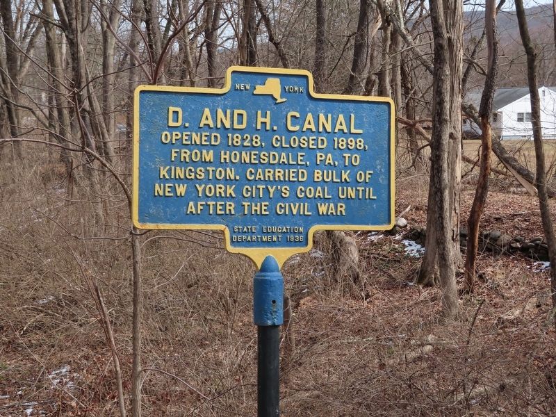
D. and H. Canal
from Honesdale, PA, to
Kingston. Carried bulk of
New York City’s coal until
after the Civil War
Erected 1936 by State Education Department.
Topics. This historical marker is listed in these topic lists: Industry & Commerce • Waterways & Vessels. A significant historical year for this entry is 1828.
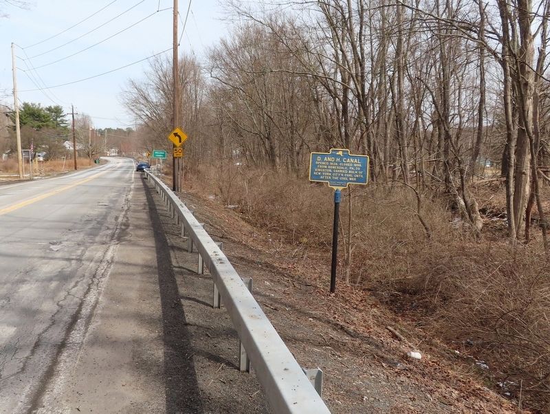
Location. 41° 30.005′ N, 74° 33.668′ W. Marker is in Westbrookville, New York, in Sullivan County. Marker is on Treasure Lake Road (U.S. 209) south of Jagger Lane, on the left when traveling south. Touch for map. Marker is in this post office area: Westbrookville NY 12785, United States of America. Touch for directions.
Other nearby markers. At least 8 other markers are within 3 miles of this marker, measured as the crow flies. Westbrook Fort (approx. 0.2 miles away); Veterans Memorial (approx. 2.6 miles away); War Memorial (approx. 2.7 miles away); D. & H. Canal (approx. 2.8 miles away); Historic Road (approx. 3 miles away); Benjamin Eaton (approx. 3 miles away); Silent Movies (approx. 3 miles away); Jacques Caudebec (approx. 3 miles away).
Also see . . . Delaware and Hudson Canal (Wikipedia). (Submitted on March 17, 2022, by Michael Herrick of Southbury, Connecticut.)
Credits. This page was last revised on March 17, 2022. It was originally submitted on March 17, 2022, by Michael Herrick of Southbury, Connecticut. This page has been viewed 73 times since then and 5 times this year. Photos: 1, 2. submitted on March 17, 2022, by Michael Herrick of Southbury, Connecticut.

