Spanish Lake in St. Louis County, Missouri — The American Midwest (Upper Plains)
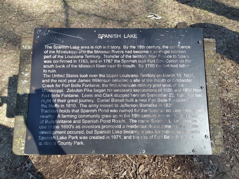
Spanish Lake
The United States took over the Upper Louisiana Territory on March 10, 1804, and the next year James Wilkinson selected a site at the mouth of Coldwater Creek for Fort Belle Fontaine, the first American military post west of the Mississippi. Zebulon Pike began his westward explorations of 1805 and 1806 from Fort Belle Fontaine. Lewis and Clark stopped here on September 22, 1806, the last night of their great journey. Daniel Bissell built a new Fort Belle Fontaine atop the bluffs in 1810. The army moved to Jefferson Barracks in 1826.
Tradition holds that Spanish Pond was named for the Spanish soldiers encamped nearby. A farming community grew up in the 19th century around the intersection of Bellefontaine and Spanish Pond Roads. The name Spanish Lake came into use in the 1890's as investors promoted a residential development here. Little development occurred, but Spanish Lake became a popular recreation attraction. Spanish Lake Park was created in 1971, and the site of Fort Belle Fontaine is also a County Park.
Topics. This historical marker is listed in these topic lists: Exploration • Forts and Castles • Parks & Recreational Areas • Settlements & Settlers. A significant historical date for this entry is March 10, 1804.
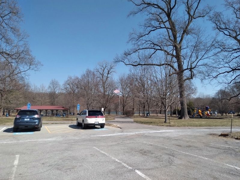
Location. 38° 47.944′ N, 90° 12.376′ W. Marker is in Spanish Lake, Missouri, in St. Louis County. Marker can be reached from Spanish Lake Park Road south of Spanish Pond Road. Marker is located at Spanish Lake Park, west of the lake. Address is St. Louis, but marker is actually in the unincorporated community of Spanish Lake. Touch for map. Marker is at or near this postal address: 12636 Spanish Pond Rd, Saint Louis MO 63138, United States of America. Touch for directions.
Other nearby markers. At least 8 other markers are within 3 miles of this marker, measured as the crow flies. The Twillman House (approx. 1.1 miles away); Columbia Bottom Conservation Area (approx. 1˝ miles away); Welcome to Fort Belle Fontaine (approx. 1.9 miles away); Fort Belle Fontaine (approx. 2 miles away); a different marker also named Fort Belle Fontaine (approx. 2 miles away); The Lewis and Clark Expedition (approx. 2 miles away); Belle Fontaine - Beautiful Fountain (approx. 2.1 miles away); a different marker also named Fort Belle Fontaine (approx. 2.3 miles away). Touch for a list and map of all markers in Spanish Lake.
Also see . . .
1. Spanish Lake Park. From St. Louis County Park's website. Contains park information as well as the area's history. (Submitted on March 17, 2022, by Jason Voigt of Glen Carbon, Illinois.)
2. Spanish Lake, Missouri on Wikipedia. The census-designated place in north St. Louis County, the population was 19,000+ as of the 2010 census. Until the 1950s, Spanish Lake was a rural refuge from St. Louis city for many, and it was mostly a white population. Several homes, apartments and streets were built during the 1950s and 1960s. When many African Americans (who were displaced by the loss of the Pruitt-Igoe housing projects) moved into the apartments at Spanish Lake, it set off racial tensions. Many of Spanish Lake's white residents fled during the 1990s. This division was the subject of a 2014 documentary, titled Spanish Lake. (Submitted on March 17, 2022, by Jason Voigt of Glen Carbon, Illinois.)
Credits. This page was last revised on March 18, 2022. It was originally submitted on March 17, 2022, by Jason Voigt of Glen Carbon, Illinois. This page has been viewed 502 times since then and 87 times this year. Photos: 1, 2. submitted on March 17, 2022, by Jason Voigt of Glen Carbon, Illinois.

