Kennett Township near Chadds Ford in Chester County, Pennsylvania — The American Northeast (Mid-Atlantic)
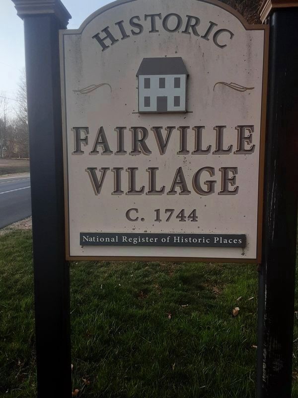
Historic Fairville Village
c. 1744
Inscription.
National Register of Historic Places
Topics. This historical marker is listed in this topic list: Colonial Era. A significant historical year for this entry is 1744.
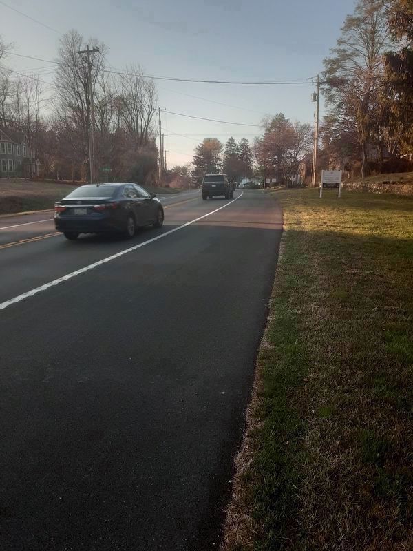
Location. 39° 50.606′ N, 75° 37.832′ W. Marker is near Chadds Ford, Pennsylvania, in Chester County. It is in Kennett Township. Marker is on Kennett Pike (Pennsylvania Route 52) 0.1 miles south of Faitville Road, on the right when traveling north. Touch for map. Marker is at or near this postal address: 604 Kennett Pike, Chadds Ford PA 19317, United States of America. Touch for directions.
Other nearby markers. At least 8 other markers are within 3 miles of this marker, measured as the crow flies. Hickory Tree Stump Monument (approx. 0.9 miles away in Delaware); Isaac & Dinah Mendenhall (approx. 1.3 miles away); Owl's Nest (approx. 2 miles away in Delaware); Battle of Brandywine (approx. 2.1 miles away); Barns-Brinton House (approx. 2.1 miles away); Knyphausen's Feint (approx. 2.1 miles away); a different marker also named Barns-Brinton House (approx. 2.1 miles away); a different marker also named The Barns-Brinton House (approx. 2.1 miles away). Touch for a list and map of all markers in Chadds Ford.
Credits. This page was last revised on February 7, 2023. It was originally submitted on March 19, 2022, by Carl Gordon Moore Jr. of North East, Maryland. This page has been viewed 169 times since then and 29 times this year. Photos: 1, 2, 3. submitted on March 20, 2022, by Carl Gordon Moore Jr. of North East, Maryland. • J. Makali Bruton was the editor who published this page.


