Near Cairo in Alexander County, Illinois — The American Midwest (Great Lakes)
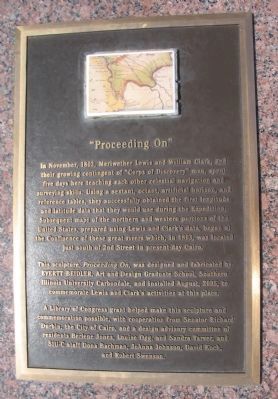
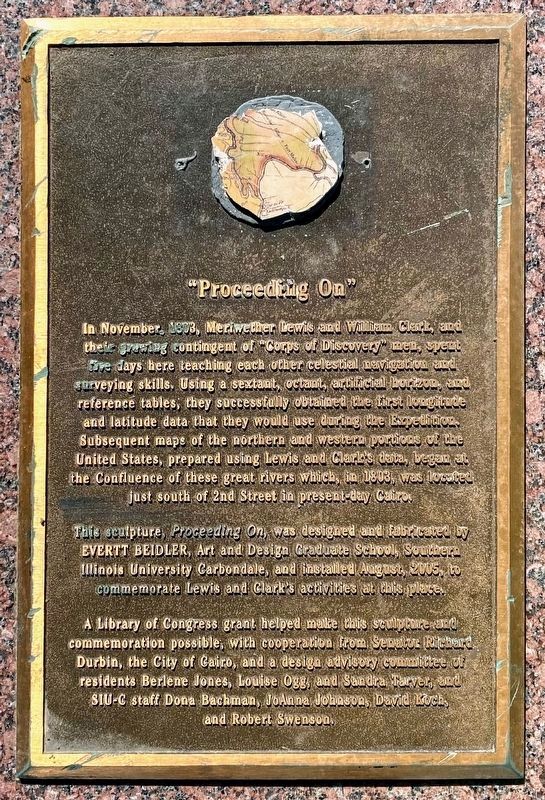
"Proceeding On"
Photographed by Craig Swain, March 17, 2009
1. "Proceeding On" Marker
This sculpture, Proceeding On, was designed and fabricated by EVERTT BEIDLER, Art and Design Graduate School, Southern Illinois University Carbondale, and installed August, 2005, to commemorate Lewis and Clark's activities at this place.
A Library of Congress grant helped make this sculpture and commemoration possible, with cooperation from Senator RIchard Durbin, the City of Cairo, and a design advisory committee of residents Berlene Jones, Louise Ogg, and Sandra Tarver, and SIU-C staff Dona Bachman, JoAnna Johnson, David Koch,
this page online
Erected 2005.
Topics and series. This historical marker is listed in this topic list: Exploration. In addition, it is included in the Lewis & Clark Expedition series list. A significant historical month for this entry is November 1803.
Location. 36° 59.038′ N, 89° 8.378′ W. Marker is near Cairo, Illinois, in Alexander County. It is on Fort Defiance Road, on the right when traveling south. Located in Fort Defiance Park, at the confluence of the Ohio and Mississippi Rivers. Touch for map. Marker is in this post office area: Cairo IL 62914, United States of America. Touch for directions.

Regionally, this marker is in Southern Illinois — Little Egypt. It is also in the American Midwest, in the Ohio River Valley, in the Corn Belt, and in the Great River Road Region. Globally, it is in North America, the Western Hemisphere, the Western World, and the Anglosphere. Historically, it finds itself in what was once the territory of the Mississippian Culture and also the Northwest Territory.
Other nearby markers. At least 8 other markers are within walking distance of this marker: The Meeting of the Rivers (a few steps
Photographed by Shane Oliver, May 1, 2021
2. "Proceeding On" Marker
Photographed by Craig Swain, March 17, 2009
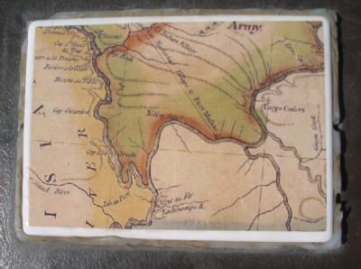
3. Map at Top of Marker
Photographed by Craig Swain, March 17, 2009
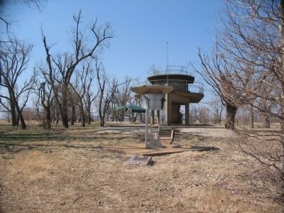
4. The Marker, Sculpture, and Observation Platform
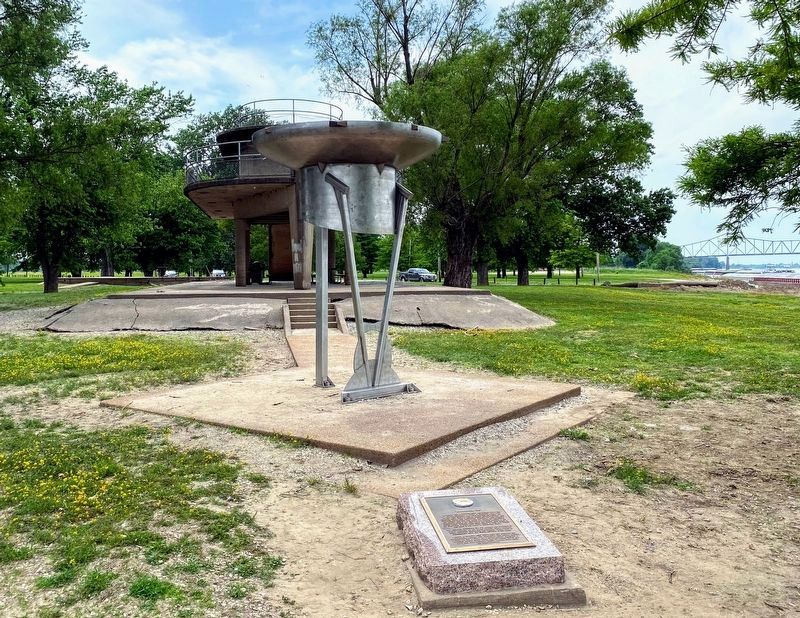
Photographed by Shane Oliver, May 22, 2021
5. View of the Observation Platform and "Proceeding On" Sculpture
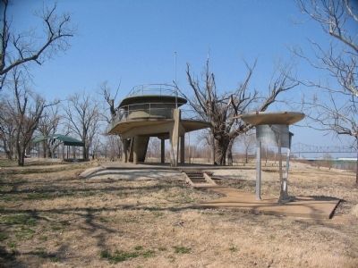
Photographed by Craig Swain, March 17, 2009
6. Another View of the Sculpture
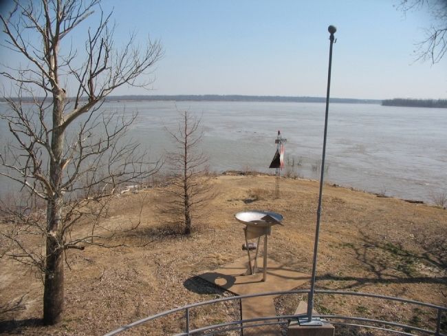
Photographed by Craig Swain, March 17, 2009
7. The Confluence of the Rivers
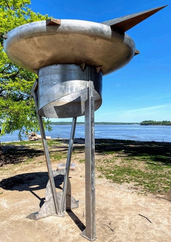
Photographed by Shane Oliver, May 1, 2021
8. "Proceeding On" Sculpture
Credits. This page was last revised on June 6, 2021. It was originally submitted on May 26, 2009, by Craig Swain of Leesburg, Virginia. This page has been viewed 3,153 times since then and 63 times this year. Photos: 1. submitted on May 26, 2009, by Craig Swain of Leesburg, Virginia. 2. submitted on June 2, 2021, by Shane Oliver of Richmond, Virginia. 3, 4. submitted on May 26, 2009, by Craig Swain of Leesburg, Virginia. 5. submitted on June 2, 2021, by Shane Oliver of Richmond, Virginia. 6, 7. submitted on May 26, 2009, by Craig Swain of Leesburg, Virginia. 8. submitted on June 2, 2021, by Shane Oliver of Richmond, Virginia.
