Liberty Grove in Door County, Wisconsin — The American Midwest (Great Lakes)
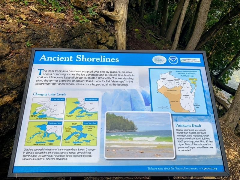
Ancient Shorelines
Changing Lake Levels
Glaciers scoured the basins of the modern Great Lakes. Changes in climate caused the ice to advance and retreat several times over the past 20,000 years. As ancient lakes filled and drained, shorelines formed at different elevations.
Prehistoric Beach
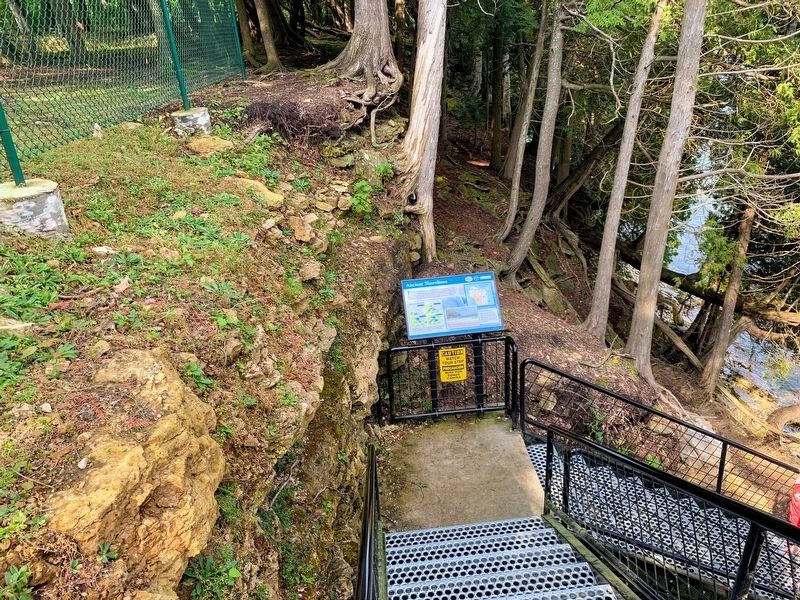
Glacial lake levels were much higher than modern day Lake Michigan. Lake Nipissing, which existed here from about 5,500 to 3,800 years ago, was 18 to 20 feet higher. Most of the staircase that you're walking on would have been underwater!
Topics. This historical marker is listed in this topic list: Natural Features.
Location. 45° 17.734′ N, 86° 59.199′ W. Marker is in Liberty Grove, Wisconsin, in Door County. The marker is in Port des Morts Park and is located on the staircase leading down the cliff. Touch for map. Marker is at or near this postal address: Port des Morts Park, 12832 Kenosha Drive, Ellison Bay WI 54210, United States of America. Touch for directions.
Other nearby markers. At least 8 other markers are within 2 miles of this marker, measured as the crow flies. The Niagara Escarpment (here, next to this marker); Town of Liberty Grove (within shouting distance of this marker); Pilot Island Site (approx. 0.6 miles away); Rudder from the "City of Glasgow" (approx. 1.7 miles away); Air Funnel (approx. 1.7 miles away); The Skipper (approx. 1.7 miles away); The Fishtug Skipper (approx. 1.7 miles away); Anchor (approx. 1.7 miles away). Touch for a list and map of all markers in Liberty Grove.
Credits. This page was last revised on March 21, 2022. It was originally submitted on March 20, 2022, by Devon Polzar of Port Washington, Wisconsin. This page has been viewed 379 times since then and 70 times this year. Photos: 1, 2, 3. submitted on March 20, 2022, by Devon Polzar of Port Washington, Wisconsin. • J. Makali Bruton was the editor who published this page.


