Tampa in Hillsborough County, Florida — The American South (South Atlantic)
Operation Odyssey Dawn
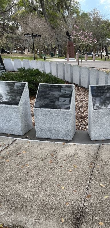
Hillsborough County Veterans Memorial Park

Photographed By Brandon D Cross, March 7, 2022
1. Operation Odyssey Dawn Marker
Prism PDF
Click for more information.
Click for more information.
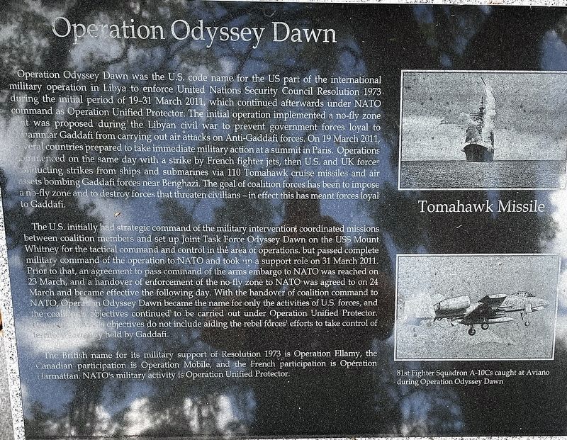
Operation Odyssey Dawn was the U.S. code name for the US part of the international military operation in Libya to enforce United Nations Security Council Resolution 1973 during the initial period of 19-31 March 2011, which continued afterwards under NATO command as Operation Unified Protector. The initial operation implemented a no-fly zone that was proposed during the Libyan civil war to prevent government forces loyal to Mu’ammar Gaddafi from carrying out air attacks on Anti-Gaddafi forces, On 19 March 2011, Several countries prepared to take immediate military action at a summit in Paris. Operations commenced on the same day with a strike by French fighter jets, then U.S. and UK forces conducting strikes from ships and submarines via 110 Tomahawk cruise missiles and air assets bombing Gaddafi forces near Benghazi. The goal of coalition forces has been to impose a no-fly zone and to destroy forces that threaten civilians - in effect this has meant forces loyal to Gaddafi.
The U.S. initially had strategic command of the military intervention, coordinated missions between coalition members and set up Joint Task Force Odyssey Dawn on the USS Mount Whitney for the tactical command and control in the area of operations, but passed complete military command of the operation to NATO and took up a support role on 31 March 2011. Prior to that, an agreement to pass command of the arms embargo to NATO was reached on 23 March, and a handover of enforcement of the no-fly zone to NATO was agreed to on 24 March and became effective the following day. With the handover of coalition command to NATO, Operation Odyssey Dawn became the name for only the activities of U.S. forces, and the coalition objectives continued to be carried out under Operation Unified Protector. However, NATO objectives do not include aiding the rebel forces efforts to take control of territory currently held by Gaddafi.
The British name for its military support of Resolution 1973 is Operation Ellamy, the Canadian participation is Operation Mobile, and the French participation is Operation Harmattan. NATO's military activity is Operation Unified Protector
[Captions:]
Tomahawk Missile
81st Fighter Squadron A-10Cs caught at Aviano during Operation Odyssey Dawn
Erected by Hillsborough County.
Topics. This memorial is listed in these topic lists: Air & Space • War, Cold. A significant historical date for this entry is March 19, 2011.
Location. 27° 58.648′ N, 82° 21.677′ W. Marker is in Tampa, Florida, in Hillsborough County. Memorial can be reached from U.S. 301, 0.2 miles south of East Dr. Martin Luther King Jr. Boulevard, on the right when traveling south. The marker stands in Hillsborough County Veterans Memorial Park. Touch for map. Marker is at or near this postal address: 3602 N US Highway 301, Tampa FL 33619, United States of America. Touch for directions.
Other nearby markers. At least 8 other markers are within walking distance of this marker. Gulf of Sidra Incident (here, next to this marker); Operation Frequent Wind (here, next to this marker); Operation Eagle Claw (April 24, 1980) (here, next to this marker); Operation Praying Mantis (here, next to this marker); Cambodian Campaign during mid-1970 (here, next to this marker); America’s Secret War. The Salvadoran Civil War (here, next to this marker); United States occupation of Haiti (here, next to this marker); United States occupation of the Dominican Republic (1965-1966) (here, next to this marker). Touch for a list and map of all markers in Tampa.
Credits. This page was last revised on May 13, 2022. It was originally submitted on March 21, 2022, by Brandon D Cross of Flagler Beach, Florida. This page has been viewed 114 times since then and 8 times this year. Photos: 1, 2. submitted on March 21, 2022, by Brandon D Cross of Flagler Beach, Florida. • Devry Becker Jones was the editor who published this page.
