Bolivar in Denton County, Texas — The American South (West South Central)
Townsite of Bolivar
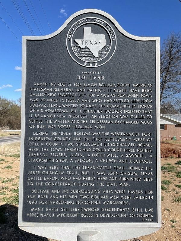
Named indirectly for Simon Bolivar, South American statesman, general and patriot. It might have been called "New Prospect," but for a mug of rum. When town was founded in 1852, a man who had settled here from Bolivar, Tenn., wanted to name the community in honor of his hometown. But a preacher-doctor insisted that it be named New Prospect. An election was called to settle the matter and the Tennessean exchanged mugs of rum for votes, Bolivar won.
During the 1800s, Bolivar was the westernmost fort in Denton County and the first settlement west of Collin County. Two stagecoach lines changed horses here. The town thrived and could count three hotels, several stores, a gin, a flour mill, a sawmill, a blacksmith shop, a saloon, a church and a school.
It was here that the Texas cattle trail joined the Jesse Chisholm Trail, but it was John Chisum, Texas cattle baron, who had herds here and furnished beef to the Confederacy during the Civil War.
Bolivar and the surrounding area were havens for Sam Bass and his men. Two Bolivar men were jailed in 1890 for harboring notorious marauders.
Many early settlers (whose descendants still live here) played important roles in development of county.
Erected 1970 by State Historical Survey Committee. (Marker Number 6957.)
Topics. This historical marker is listed in this topic list: Settlements & Settlers. A significant historical year for this entry is 1852.
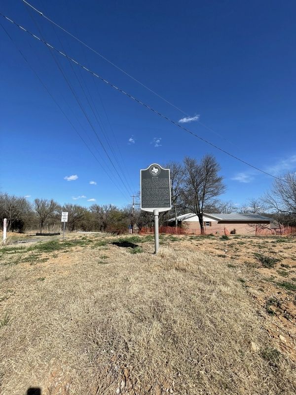
Location. 33° 21.491′ N, 97° 14.716′ W. Marker is in Bolivar, Texas, in Denton County. Marker is at the intersection of Chapman Road (Farm to Market Road 455) and Farm to Market Road 2450, on the left when traveling east on Chapman Road. The marker is on the SE corner of the intersection of FMs 2450 and 455. Touch for map. Marker is in this post office area: Sanger TX 76266, United States of America. Touch for directions.
Other nearby markers. At least 8 other markers are within 8 miles of this marker, measured as the crow flies. Bolivar Cemetery (approx. ¼ mile away); Forester Ranch (approx. 3½ miles away); Sanger Presbyterian Church (approx. 4 miles away); Chisholm Trail in Denton County (approx. 4.1 miles away); Galilee Missionary Baptist Church (approx. 4½ miles away); Plainview Cemetery (approx. 6.3 miles away); City of Krum (approx. 6.9 miles away); Gregg Ranch (approx. 7.8 miles away).
Credits. This page was last revised on March 23, 2022. It was originally submitted on March 22, 2022, by J Frye of Fort Worth, Texas. This page has been viewed 185 times since then and 15 times this year. Photos: 1, 2, 3. submitted on March 22, 2022, by J Frye of Fort Worth, Texas. • J. Makali Bruton was the editor who published this page.


