Wimberley in Hays County, Texas — The American South (West South Central)
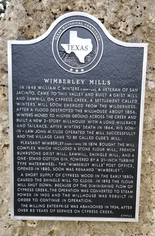
Wimberley Mills
Pleasant Wimberley (1823-1919) in 1874 bought the mill complex which included a stone flour mill, French buhrstone grist mill, sawmill, shingle mill, and a one-stand cotton gin, powered by a 21-inch turbine type waterwheel. The "Wimberley Mills" post office, opened in 1880, soon was renamed "Wimberley".
A short supply of cypress wood in the early 1880s caused the shingle mill to close. In 1893 the flour mill shut down. Because of the diminishing flow of Cypress Creek, the operation was converted to steam power in 1900 and the millhouse was rebuilt in order to continue in operation.
The milling enterprise was abandoned in 1934, after over 85 years of service on Cypress Creek.
Erected 1974 by Texas Historical Commission. (Marker Number 10337.)
Topics. This historical marker is listed in these topic lists: Industry & Commerce • Settlements & Settlers. A significant historical year for this entry is 1848.
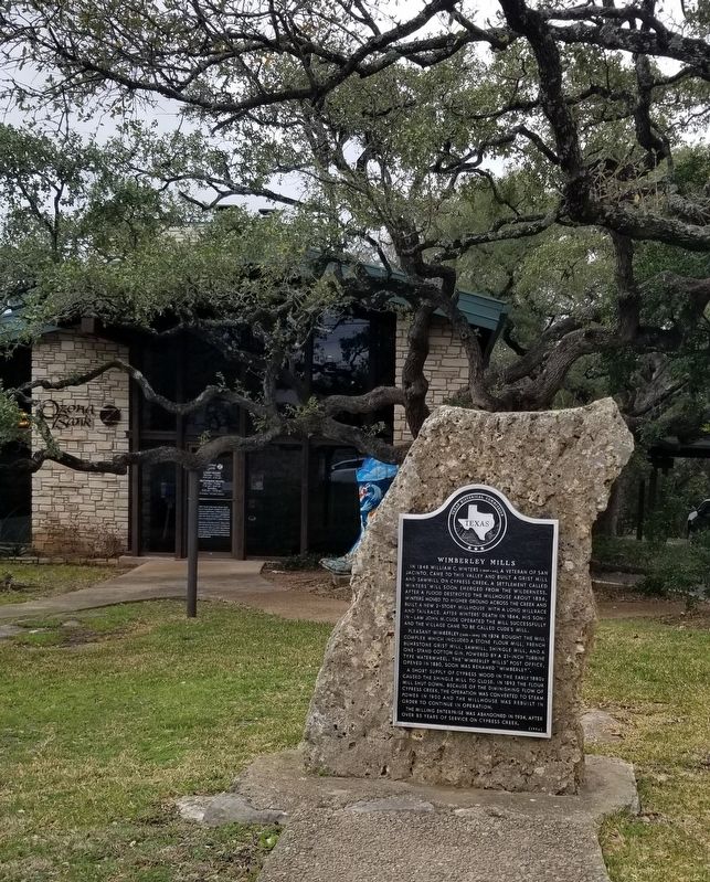
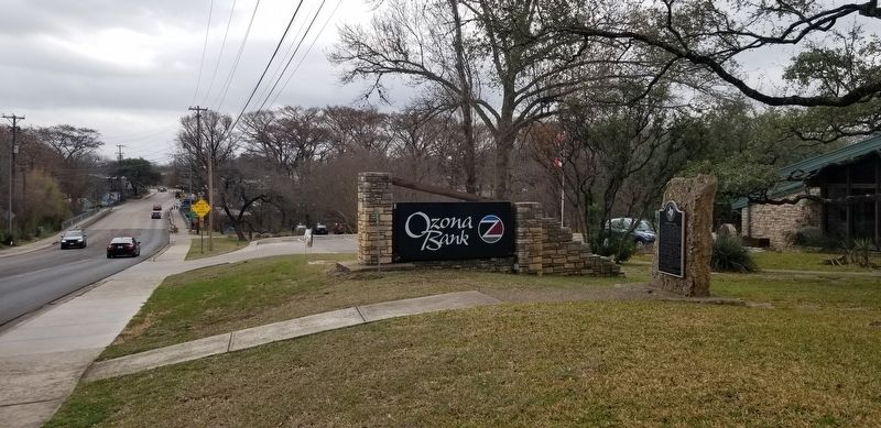
Location. 29° 59.844′ N, 98° 5.927′ W. Marker is in Wimberley, Texas, in Hays County. Marker is at the intersection of State Highway 12 and River Road, on the left when traveling west on State Highway 12. The marker is located in front of a bank building along the street. Touch for map. Marker is at or near this postal address: 101 River Road, Wimberley TX 78676, United States of America. Touch for directions.
Other nearby markers. At least 8 other markers are within 9 miles of this marker, measured as the crow flies. Winters-Wimberley House (within shouting distance of this marker); James C. Lane House (approx. 0.2 miles away); John R. Dobie House (approx. 0.3 miles away); The Century-Old Wimberley Cemetery (approx. half a mile away); Jacobs Well Cemetery (approx. 2.7 miles away); Jacob's Well Natural Area (approx. 3.1 miles away); Jacob's Well (approx. 3.2 miles away); First Christian Church of San Marcos (approx. 8.7 miles away). Touch for a list and map of all markers in Wimberley.
Also see . . . Wimberley, TX. Texas State Historical Association - Handbook of Texas (Submitted on March 22, 2022, by James Hulse of Medina, Texas.)
Credits. This page was last revised on March 22, 2022. It was originally submitted on March 22, 2022, by James Hulse of Medina, Texas. This page has been viewed 285 times since then and 41 times this year. Photos: 1, 2, 3. submitted on March 22, 2022, by James Hulse of Medina, Texas.


